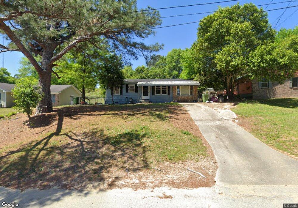
917 Bethune Ct Columbus, GA 31907
Eastern Columbus NeighborhoodEstimated Value: $111,000 - $138,000
3
Beds
2
Baths
1,075
Sq Ft
$113/Sq Ft
Est. Value
About This Home
This home is located at 917 Bethune Ct, Columbus, GA 31907 and is currently estimated at $121,357, approximately $112 per square foot. 917 Bethune Ct is a home located in Muscogee County with nearby schools including Georgetown Elementary School, East Columbus Magnet Academy, and Kendrick High School.
Ownership History
Date
Name
Owned For
Owner Type
Purchase Details
Closed on
Nov 19, 2007
Sold by
Nationstar Mortgage Llc
Bought by
Bishop Sam
Current Estimated Value
Purchase Details
Closed on
Feb 6, 2007
Sold by
Robinson Linda A
Bought by
Nationstar Mortgage Llc
Create a Home Valuation Report for This Property
The Home Valuation Report is an in-depth analysis detailing your home's value as well as a comparison with similar homes in the area
Home Values in the Area
Average Home Value in this Area
Purchase History
| Date | Buyer | Sale Price | Title Company |
|---|---|---|---|
| Bishop Sam | $62,000 | None Available | |
| Nationstar Mortgage Llc | $71,578 | None Available |
Source: Public Records
Tax History Compared to Growth
Tax History
| Year | Tax Paid | Tax Assessment Tax Assessment Total Assessment is a certain percentage of the fair market value that is determined by local assessors to be the total taxable value of land and additions on the property. | Land | Improvement |
|---|---|---|---|---|
| 2025 | $1,260 | $32,180 | $6,828 | $25,352 |
| 2024 | $1,260 | $32,180 | $6,828 | $25,352 |
| 2023 | $127 | $32,180 | $6,828 | $25,352 |
| 2022 | $937 | $22,944 | $6,828 | $16,116 |
| 2021 | $760 | $18,624 | $6,828 | $11,796 |
| 2020 | $761 | $18,624 | $6,828 | $11,796 |
| 2019 | $763 | $18,624 | $6,828 | $11,796 |
| 2018 | $763 | $18,624 | $6,828 | $11,796 |
| 2017 | $930 | $22,616 | $6,828 | $15,788 |
| 2016 | $1,085 | $26,294 | $4,740 | $21,554 |
| 2015 | $1,086 | $26,294 | $4,740 | $21,554 |
| 2014 | $1,087 | $26,294 | $4,740 | $21,554 |
| 2013 | -- | $26,294 | $4,740 | $21,554 |
Source: Public Records
Map
Nearby Homes
- 905 Bethune Ct
- 5833 Bunche St
- 754 Red Oak Dr
- 1111 Richland Dr
- 1252 School House Dr
- 6416 Sandy Bottom Dr
- 6188 Valencia Dr
- 908 Arlington Dr
- 6061 Luna Dr
- 6040 Luna Dr
- 1068 Valencia Dr
- 6033 Luna Dr
- 5730 Teresa St
- 5532 Buena Vista Rd
- 5526 Buena Vista Rd
- 5834 Blueridge Dr
- 752 Wilder Dr
- 5500 Amber Dr
- 5802 Blueridge Dr
- 6620 Cove Cir
- 911 Bethune Ct
- 923 Bethune Ct
- 784 Laurel Oak Ct
- 927 Bethune Ct
- 788 Laurel Oak Ct
- 780 Laurel Oak Ct Unit D
- 792 Laurel Oak Ct
- 5821 Laing St
- 920 Bethune Ct
- 931 Bethune Ct
- 914 Bethune Ct
- 928 Bethune Ct
- 837 Doby Dr
- 777 Laurel Oak Ct
- 796 Laurel Oak Ct
- 5825 Laing St
- 935 Bethune Ct
- 781 Laurel Oak Ct
- 941 Omega Dr
- 833 Doby Dr