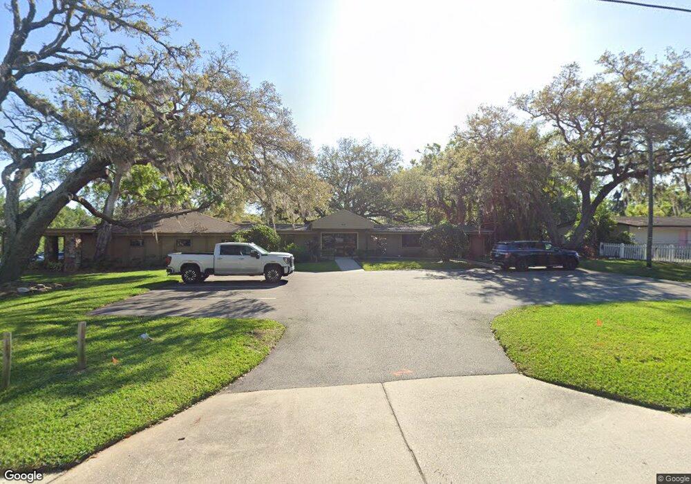
917 S Parsons Ave Brandon, FL 33511
Estimated Value: $1,703,365
--
Bed
--
Bath
16,535
Sq Ft
$103/Sq Ft
Est. Value
About This Home
This home is located at 917 S Parsons Ave, Brandon, FL 33511 and is currently estimated at $1,703,365, approximately $103 per square foot. 917 S Parsons Ave is a home located in Hillsborough County with nearby schools including Brooker Elementary School, Burns Middle School, and Bloomingdale High School.
Ownership History
Date
Name
Owned For
Owner Type
Purchase Details
Closed on
Jan 6, 2014
Sold by
Lang Investment Properties Inc
Bought by
Kmdg Parsons Llc
Current Estimated Value
Purchase Details
Closed on
Mar 31, 2005
Sold by
Drp Co Of Alabama Inc
Bought by
Lang Investment Properties Inc
Home Financials for this Owner
Home Financials are based on the most recent Mortgage that was taken out on this home.
Original Mortgage
$1,000,000
Interest Rate
5.57%
Mortgage Type
Commercial
Purchase Details
Closed on
Aug 14, 1997
Sold by
Davis Betty
Bought by
Davis John L
Create a Home Valuation Report for This Property
The Home Valuation Report is an in-depth analysis detailing your home's value as well as a comparison with similar homes in the area
Home Values in the Area
Average Home Value in this Area
Purchase History
| Date | Buyer | Sale Price | Title Company |
|---|---|---|---|
| Kmdg Parsons Llc | $690,000 | None Available | |
| Lang Investment Properties Inc | $1,250,000 | -- | |
| Davis John L | $100 | -- |
Source: Public Records
Mortgage History
| Date | Status | Borrower | Loan Amount |
|---|---|---|---|
| Previous Owner | Lang Investment Properties Inc | $1,000,000 | |
| Closed | Lang Investment Properties Inc | $200,000 |
Source: Public Records
Tax History Compared to Growth
Tax History
| Year | Tax Paid | Tax Assessment Tax Assessment Total Assessment is a certain percentage of the fair market value that is determined by local assessors to be the total taxable value of land and additions on the property. | Land | Improvement |
|---|---|---|---|---|
| 2024 | $24,101 | $1,334,600 | $885,995 | $448,605 |
| 2023 | $22,288 | $1,226,800 | $804,395 | $422,405 |
| 2022 | $20,479 | $1,125,700 | $699,471 | $426,229 |
| 2021 | $18,992 | $1,013,200 | $563,460 | $449,740 |
| 2020 | $18,295 | $966,900 | $493,519 | $473,381 |
| 2019 | $18,223 | $953,300 | $493,519 | $459,781 |
| 2018 | $18,399 | $953,300 | $0 | $0 |
| 2017 | $17,425 | $953,300 | $0 | $0 |
| 2016 | $16,230 | $762,080 | $0 | $0 |
| 2015 | $17,272 | $692,800 | $0 | $0 |
| 2014 | $12,160 | $604,400 | $0 | $0 |
| 2013 | -- | $748,400 | $0 | $0 |
Source: Public Records
Map
Nearby Homes
- 923 Lumsden Reserve Dr
- 832 S Parsons Ave
- 134 Barrington Dr
- 308 Cambridge Place
- 124 Barrington Dr
- 112 Julie Ln
- 308 Lake Parsons Green Unit 106
- 906 Stanberry Dr
- 780 Spring Flowers Trail
- 314 Lake Parsons Green Unit 102
- 605 Chippenham Blvd
- 314 Summer Clouds Place
- 1607 Loriana St
- 1109 Bryan Rd
- 1111 Bryan Rd
- 514 Ole Plantation Dr
- 1726 Loriana St
- 703 Sailfish Dr
- 620 Lithia Pinecrest Rd
- 411 Bryan Rd
- 919 S Parsons Ave
- 901 Cheyenne Dr
- 104 E Lumsden Rd
- 106 E Lumsden Rd
- 919 Cheyenne Dr
- 206 E Lumsden Rd
- 888 S Parsons Ave
- 908 S Parsons Ave
- 101 E Lumsden Rd
- 904 Lumsden Reserve Dr
- 902 Lumsden Reserve Dr
- 906 Lumsden Reserve Dr
- 830 Lumsden Reserve Dr
- 152 Barrington Dr
- 828 Lumsden Reserve Dr
- 826 Lumsden Reserve Dr
- 824 Lumsden Reserve Dr
- 822 Lumsden Reserve Dr
- 820 Lumsden Reserve Dr
- 818 Lumsden Reserve Dr