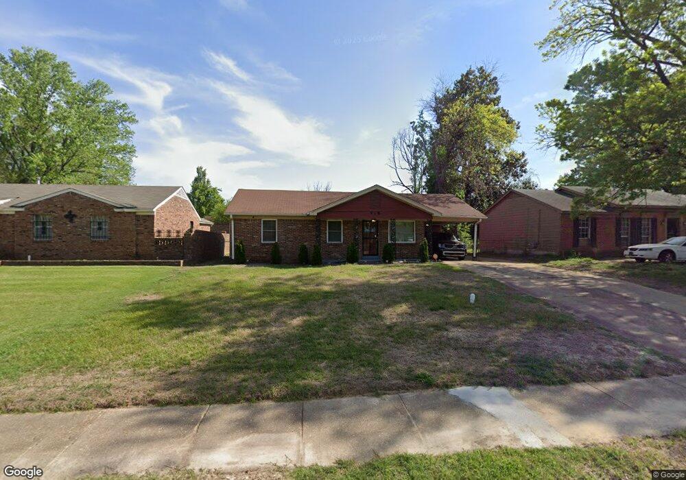
918 W Raines Rd Memphis, TN 38109
Westwood NeighborhoodEstimated Value: $75,256 - $96,000
3
Beds
1
Bath
1,060
Sq Ft
$83/Sq Ft
Est. Value
About This Home
This home is located at 918 W Raines Rd, Memphis, TN 38109 and is currently estimated at $88,064, approximately $83 per square foot. 918 W Raines Rd is a home located in Shelby County with nearby schools including Levi Elementary School, Chickasaw Middle School, and Westwood High School.
Ownership History
Date
Name
Owned For
Owner Type
Purchase Details
Closed on
Dec 29, 2005
Sold by
Hughes Samuel and Hughes Cora B
Bought by
Mccaster Kenny
Current Estimated Value
Home Financials for this Owner
Home Financials are based on the most recent Mortgage that was taken out on this home.
Original Mortgage
$60,943
Outstanding Balance
$34,153
Interest Rate
6.22%
Mortgage Type
FHA
Estimated Equity
$53,911
Purchase Details
Closed on
Jul 20, 1995
Bought by
Samuel Hughes and Samuel Cora B
Create a Home Valuation Report for This Property
The Home Valuation Report is an in-depth analysis detailing your home's value as well as a comparison with similar homes in the area
Home Values in the Area
Average Home Value in this Area
Purchase History
| Date | Buyer | Sale Price | Title Company |
|---|---|---|---|
| Mccaster Kenny | $61,900 | West Tennessee Title | |
| Samuel Hughes | $42,000 | -- |
Source: Public Records
Mortgage History
| Date | Status | Borrower | Loan Amount |
|---|---|---|---|
| Open | Mccaster Kenny | $60,943 |
Source: Public Records
Tax History Compared to Growth
Tax History
| Year | Tax Paid | Tax Assessment Tax Assessment Total Assessment is a certain percentage of the fair market value that is determined by local assessors to be the total taxable value of land and additions on the property. | Land | Improvement |
|---|---|---|---|---|
| 2025 | $409 | $19,300 | $2,500 | $16,800 |
| 2024 | $409 | $12,050 | $1,925 | $10,125 |
| 2023 | $734 | $12,050 | $1,925 | $10,125 |
| 2022 | $734 | $12,050 | $1,925 | $10,125 |
| 2021 | $743 | $12,050 | $1,925 | $10,125 |
| 2020 | $694 | $9,575 | $1,925 | $7,650 |
| 2019 | $694 | $9,575 | $1,925 | $7,650 |
| 2018 | $694 | $9,575 | $1,925 | $7,650 |
| 2017 | $394 | $9,575 | $1,925 | $7,650 |
| 2016 | $457 | $10,450 | $0 | $0 |
| 2014 | $457 | $10,450 | $0 | $0 |
Source: Public Records
Map
Nearby Homes
- 1307 W Raines Rd
- 949 W Raines Rd
- 4233 Glenbrook Dr
- 830 W Raines Rd
- 1010 Leacrest Ave
- 4018 Swanbrook St
- 4269 Tomahawk St
- 906 Western Park Dr
- 436 Western Park Dr
- 4365 Bluebell St
- 4087 Weaver Rd
- 791 W Levi Rd
- 4108 Double Tree St
- 648 Pawnee Ave
- 1185 Connemara Ave
- 4264 Double Tree Rd
- 1221 Tahoe Rd
- 646 Western Park Dr
- 1208 Chickamauga Ave
- 4227 Arrow Rd
- 924 W Raines Rd
- 912 W Raines Rd
- 928 W Raines Rd
- 906 W Raines Rd
- 4117 Glenbrook St
- 4119 Glenbrook St
- 4115 Glenbrook St
- 0 W Raines St Unit 9962700
- 0 W Raines St Unit 9995624
- 934 W Raines Rd
- 900 W Raines Rd
- 4123 Glenbrook St
- 919 W Raines Rd
- 913 W Raines Rd
- 4111 Glenbrook St
- 909 W Raines Rd
- 925 W Raines Rd
- 938 W Raines Rd
- 892 W Raines Rd
- 903 W Raines Rd