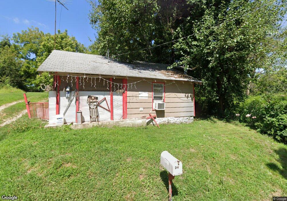
919 Walker St West Plains, MO 65775
Estimated Value: $56,646 - $166,000
Studio
--
Bath
724
Sq Ft
$147/Sq Ft
Est. Value
About This Home
This home is located at 919 Walker St, West Plains, MO 65775 and is currently estimated at $106,162, approximately $146 per square foot. 919 Walker St is a home with nearby schools including West Plains Senior High School, Ozarks Christian Academy, and Faith Assembly Christian School.
Create a Home Valuation Report for This Property
The Home Valuation Report is an in-depth analysis detailing your home's value as well as a comparison with similar homes in the area
Home Values in the Area
Average Home Value in this Area
Tax History
| Year | Tax Paid | Tax Assessment Tax Assessment Total Assessment is a certain percentage of the fair market value that is determined by local assessors to be the total taxable value of land and additions on the property. | Land | Improvement |
|---|---|---|---|---|
| 2025 | $196 | $4,740 | $470 | $4,270 |
| 2024 | $195 | $4,230 | -- | -- |
| 2023 | $195 | $4,230 | $0 | $0 |
| 2022 | $184 | $4,000 | $0 | $0 |
| 2020 | $166 | $3,520 | $0 | $0 |
| 2019 | $172 | $3,520 | $0 | $0 |
| 2018 | $172 | $3,520 | $0 | $0 |
Source: Public Records
Map
Nearby Homes
- 924 Walker St
- 710 Johnson St
- 714 Johnson St
- 742 Olive St
- 000 Tanglewood Place
- 639 Lanton Rd
- 415 Farrell St
- TBD Oak St
- 413 Cherry St
- 212 Worcester St
- 209 S Aid Ave
- 203 S Aid Ave
- 911 Grace Ave
- 119 S College St
- 000 S Thayer Ave
- 426 S Thayer Ave
- 609 Woodland Ave
- 607 E Dixon St
- 130 N Howell Ave
- 000 Nichols Dr
Your Personal Tour Guide
Ask me questions while you tour the home.