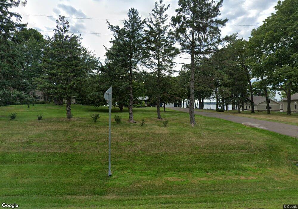
9198 State Highway 27 Onamia, MN 56359
Estimated Value: $554,000 - $687,000
4
Beds
2
Baths
1,288
Sq Ft
$493/Sq Ft
Est. Value
About This Home
This home is located at 9198 State Highway 27, Onamia, MN 56359 and is currently estimated at $634,725, approximately $492 per square foot. 9198 State Highway 27 is a home located in Mille Lacs County with nearby schools including Onamia Secondary School.
Ownership History
Date
Name
Owned For
Owner Type
Purchase Details
Closed on
Aug 14, 2020
Sold by
Miller Jane M
Bought by
Jane M Miller Revocable Trust and Miller
Current Estimated Value
Purchase Details
Closed on
Aug 13, 2020
Sold by
Anderson Trust
Bought by
Miller Jane M
Purchase Details
Closed on
Oct 7, 2016
Sold by
Fischer David J and Wright Lynn M
Bought by
Anderson Kevin and Kevin G Anderson Revocable Living Trust
Purchase Details
Closed on
Mar 9, 2014
Sold by
Anderson Kevin G
Bought by
Liv Anderson Kevin G and Kevin G Anderson Revocable Living Trust
Create a Home Valuation Report for This Property
The Home Valuation Report is an in-depth analysis detailing your home's value as well as a comparison with similar homes in the area
Home Values in the Area
Average Home Value in this Area
Purchase History
| Date | Buyer | Sale Price | Title Company |
|---|---|---|---|
| Jane M Miller Revocable Trust | -- | Commercial Partners Title | |
| Jane M Miller Revocable Trust | -- | Commercial Partners Title | |
| Miller Jane M | $499,900 | North American Title | |
| Anderson Kevin | -- | None Available | |
| Liv Anderson Kevin G | -- | None Available |
Source: Public Records
Tax History Compared to Growth
Tax History
| Year | Tax Paid | Tax Assessment Tax Assessment Total Assessment is a certain percentage of the fair market value that is determined by local assessors to be the total taxable value of land and additions on the property. | Land | Improvement |
|---|---|---|---|---|
| 2025 | $6,982 | $630,500 | $340,000 | $290,500 |
| 2024 | $6,314 | $676,100 | $369,800 | $306,300 |
| 2023 | $6,166 | $630,200 | $337,000 | $293,200 |
| 2022 | $5,850 | $592,000 | $308,600 | $283,400 |
| 2021 | $4,908 | $471,600 | $271,800 | $199,800 |
| 2020 | $4,888 | $422,700 | $257,300 | $165,400 |
| 2019 | $4,960 | $388,500 | $249,300 | $139,200 |
| 2018 | $4,624 | $391,800 | $257,300 | $134,500 |
| 2017 | $4,872 | $361,800 | $237,300 | $124,500 |
| 2016 | $4,738 | $0 | $0 | $0 |
| 2015 | $5,642 | $0 | $0 | $0 |
| 2014 | $5,642 | $0 | $0 | $0 |
Source: Public Records
Map
Nearby Homes
- TBD Summit Rd
- 9736 State Highway 27
- 000 Mesabi Way
- xx 388th St
- xxx 388th St
- 38681 100th Ave
- 10132 State Highway 27
- 40186 Par 5 Dr
- 40276 Fairway Ln
- TBD Lot# 16 Par 5 Dr
- 8332 Par 5 Dr
- TBD Lot 12 Fairway Ln
- TBD Lot # 6 Fairway Ln
- 8344 Tuxedo Rd Unit 337
- 8304 Tuxedo Rd Unit 345
- 7582 Tailor Rd
- XXX Highway 169
- 7694 Stevens Rd
- 8506 Stevens Rd
- 39545 Twilight Rd
- 9202 State Highway 27
- 9186 State Highway 27
- 9226 State Highway 27
- 9174 State Highway 27
- 9185 State Highway 27
- 9162 Minnesota 27
- 9162 State Highway 27
- xxx State Highway 27
- 9158 State Highway 27
- 9146 State Highway 27
- 9448 Summit Rd
- 39465 92nd Ave
- xxx Hwy 27
- 9231 State Highway 27
- 9464 Summit Rd
- 9464 9464 Summit-Road-
- 39119 Summit Rd
- 9472 Summit Rd
- 9472 9472 Summit-Road-
- 39501 92nd Ave