92 Branch Hill Rd Heath, MA 01346
Heath NeighborhoodEstimated Value: $306,559 - $345,000
3
Beds
2
Baths
1,242
Sq Ft
$259/Sq Ft
Est. Value
About This Home
This home is located at 92 Branch Hill Rd, Heath, MA 01346 and is currently estimated at $322,186, approximately $259 per square foot. 92 Branch Hill Rd is a home located in Franklin County with nearby schools including Mohawk Trail Regional High School.
Ownership History
Date
Name
Owned For
Owner Type
Purchase Details
Closed on
May 15, 2019
Sold by
Clark Nathan W and Clark Cynthia L
Bought by
Clark Daniel N and Clark Shauna M
Current Estimated Value
Home Financials for this Owner
Home Financials are based on the most recent Mortgage that was taken out on this home.
Original Mortgage
$140,000
Outstanding Balance
$122,326
Interest Rate
4%
Mortgage Type
New Conventional
Estimated Equity
$199,860
Purchase Details
Closed on
Oct 29, 2010
Sold by
Clark Wayne R and Clark Robin C
Bought by
Clark Nathan W and Clark Cynthia L
Home Financials for this Owner
Home Financials are based on the most recent Mortgage that was taken out on this home.
Original Mortgage
$144,000
Interest Rate
4.39%
Mortgage Type
Purchase Money Mortgage
Purchase Details
Closed on
Aug 11, 2003
Sold by
Centilli Pamela K and Galipo Pamela K
Bought by
Clark Robin C and Clark Wayne R
Create a Home Valuation Report for This Property
The Home Valuation Report is an in-depth analysis detailing your home's value as well as a comparison with similar homes in the area
Home Values in the Area
Average Home Value in this Area
Purchase History
| Date | Buyer | Sale Price | Title Company |
|---|---|---|---|
| Clark Daniel N | $175,000 | -- | |
| Clark Daniel N | $175,000 | -- | |
| Clark Nathan W | $180,000 | -- | |
| Clark Nathan W | $180,000 | -- | |
| Clark Nathan W | $180,000 | -- | |
| Clark Robin C | $140,000 | -- | |
| Clark Robin C | $140,000 | -- |
Source: Public Records
Mortgage History
| Date | Status | Borrower | Loan Amount |
|---|---|---|---|
| Open | Clark Daniel N | $140,000 | |
| Closed | Clark Daniel N | $140,000 | |
| Previous Owner | Clark Nathan W | $144,000 | |
| Previous Owner | Clark Robin C | $15,000 |
Source: Public Records
Tax History
| Year | Tax Paid | Tax Assessment Tax Assessment Total Assessment is a certain percentage of the fair market value that is determined by local assessors to be the total taxable value of land and additions on the property. | Land | Improvement |
|---|---|---|---|---|
| 2025 | $3,553 | $188,900 | $40,300 | $148,600 |
| 2024 | $3,778 | $184,900 | $36,300 | $148,600 |
| 2023 | $3,860 | $168,700 | $26,500 | $142,200 |
| 2022 | $3,631 | $168,800 | $26,500 | $142,300 |
| 2021 | $3,795 | $168,500 | $26,200 | $142,300 |
| 2020 | $3,720 | $167,200 | $24,900 | $142,300 |
| 2019 | $3,614 | $167,300 | $24,900 | $142,400 |
| 2018 | $3,647 | $167,200 | $24,800 | $142,400 |
| 2017 | $3,365 | $160,300 | $24,700 | $135,600 |
| 2016 | $3,304 | $161,100 | $24,700 | $136,400 |
| 2015 | $3,192 | $159,900 | $24,700 | $135,200 |
Source: Public Records
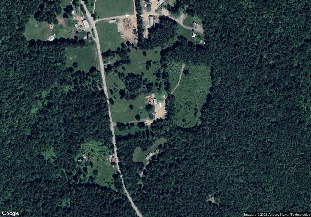
Map
Nearby Homes
- 14 South Rd
- 8 Deer Run Path
- 594 Massachusetts 8a
- Lot 121 Davis Mine Rd
- 0 W Oxbow Rd Unit 73453651
- 0 W Oxbow Rd Unit 248444
- 442 Mcmillan Rd
- 0 Potters Rd Unit 248445
- 0 Potters Rd Unit 73439831
- 24 W Oxbow Rd
- 1192 Chapel Hill Rd
- 168 Main St
- 1451 Massachusetts 2
- 1451 Route 2 E
- 2173 Vermont 8a
- 251 Phillips Hill Rd
- 127 County Rd
- 0 Warfield Rd
- 201 Ford Hill Rd
- 2153 Massachusetts 2
- 76 Branch Hill Rd
- 85 Branch Hill Rd
- 112 Branch Hill Rd
- 72 Branch Hill Rd
- 60 Branch Hill Rd
- 92 Branch Hill Rd
- 60 Branch Hill Rd
- 128 Branch Hill Rd
- 51 Colrain Stage Rd
- 117 Colrain Stage Rd
- 102 Branch Hill Rd
- 107 Branch Hill Rd
- 17 Colrain Stage Rd
- 9 Colrain Rd
- 161 Branch Hill Rd
- 45 Ledge Rd
- 11 Modoc Dr
- 148 Sumner Stetson Rd
- 102 Branch Hill Rd
- 133 Branch Hill Rd
Your Personal Tour Guide
Ask me questions while you tour the home.