Estimated Value: $478,000 - $595,000
3
Beds
2
Baths
1,970
Sq Ft
$283/Sq Ft
Est. Value
About This Home
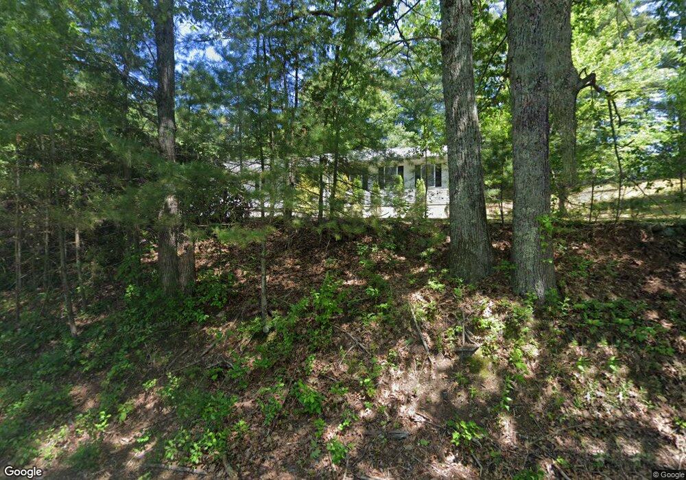
This home is located at 92 Lane Rd, Derry, NH 03038 and is currently estimated at $558,187, approximately $283 per square foot. 92 Lane Rd is a home located in Rockingham County with nearby schools including Derry Village School, West Running Brook Middle School, and Pinkerton Academy.
Ownership History
Date
Name
Owned For
Owner Type
Purchase Details
Closed on
Dec 1, 2010
Sold by
Rowe Mark W and Rowe Allison T
Bought by
Havey Kathleen M and Reynolds James S
Current Estimated Value
Home Financials for this Owner
Home Financials are based on the most recent Mortgage that was taken out on this home.
Original Mortgage
$194,930
Outstanding Balance
$131,273
Interest Rate
4.22%
Mortgage Type
Purchase Money Mortgage
Estimated Equity
$414,266
Create a Home Valuation Report for This Property
The Home Valuation Report is an in-depth analysis detailing your home's value as well as a comparison with similar homes in the area
Home Values in the Area
Average Home Value in this Area
Purchase History
| Date | Buyer | Sale Price | Title Company |
|---|---|---|---|
| Havey Kathleen M | $200,000 | -- |
Source: Public Records
Mortgage History
| Date | Status | Borrower | Loan Amount |
|---|---|---|---|
| Open | Havey Kathleen M | $194,930 | |
| Previous Owner | Havey Kathleen M | $92,000 |
Source: Public Records
Tax History Compared to Growth
Tax History
| Year | Tax Paid | Tax Assessment Tax Assessment Total Assessment is a certain percentage of the fair market value that is determined by local assessors to be the total taxable value of land and additions on the property. | Land | Improvement |
|---|---|---|---|---|
| 2024 | $9,311 | $498,200 | $199,900 | $298,300 |
| 2023 | $8,992 | $434,800 | $169,900 | $264,900 |
| 2022 | $8,279 | $434,800 | $169,900 | $264,900 |
| 2021 | $8,104 | $327,300 | $129,800 | $197,500 |
| 2020 | $7,966 | $327,300 | $129,800 | $197,500 |
| 2019 | $7,559 | $289,400 | $100,200 | $189,200 |
| 2018 | $7,593 | $291,700 | $100,200 | $191,500 |
| 2017 | $7,431 | $257,500 | $95,200 | $162,300 |
| 2016 | $6,919 | $255,700 | $95,200 | $160,500 |
| 2015 | $6,907 | $236,300 | $95,200 | $141,100 |
| 2014 | $6,952 | $236,300 | $95,200 | $141,100 |
| 2013 | $6,972 | $221,400 | $87,200 | $134,200 |
Source: Public Records
Map
Nearby Homes
- 66 Lane Rd
- 6 Fox Hollow Rd
- 5 Jewell Ln
- 139 Rockingham Rd Unit 11
- 139 Rockingham Rd Unit 21
- 144 Rockingham Rd
- 7 Hunter Dr
- 18 Frost Rd
- 30 Schurman Dr
- 55 Bedard Ave
- 2 Remington Ct
- 4C Pine Isle Dr Unit B
- 30 E Derry Rd
- 12 Belle Brook Ln
- 2 Cardinal Cir
- 5 Coventry Ln
- 5 Homestead Dr Unit R
- 3b Sunnyside Ln Unit R
- 13 Village Brook Ln
- 6 Edgewood St