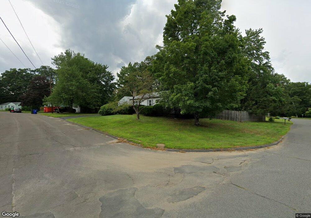
92 Longview Dr Florence, MA 01062
Florence NeighborhoodEstimated Value: $350,875 - $386,000
3
Beds
1
Bath
1,004
Sq Ft
$365/Sq Ft
Est. Value
About This Home
This home is located at 92 Longview Dr, Florence, MA 01062 and is currently estimated at $366,469, approximately $365 per square foot. 92 Longview Dr is a home located in Hampshire County with nearby schools including Northampton High School, Hilltown Cooperative Charter Public School, and The Montessori School of Northampton.
Ownership History
Date
Name
Owned For
Owner Type
Purchase Details
Closed on
May 2, 2016
Sold by
Hicks Alan G
Bought by
Hicks Jennifer and Hicks Keith
Current Estimated Value
Purchase Details
Closed on
Oct 14, 1994
Sold by
Parker Rhea A and Doble Alan K
Bought by
Hicks Deborah J and Hicks Alan G
Purchase Details
Closed on
Jul 31, 1989
Sold by
Helems David A
Bought by
Doble Alan K
Create a Home Valuation Report for This Property
The Home Valuation Report is an in-depth analysis detailing your home's value as well as a comparison with similar homes in the area
Home Values in the Area
Average Home Value in this Area
Purchase History
| Date | Buyer | Sale Price | Title Company |
|---|---|---|---|
| Hicks Jennifer | -- | -- | |
| Hicks Deborah J | $110,000 | -- | |
| Doble Alan K | $120,000 | -- |
Source: Public Records
Mortgage History
| Date | Status | Borrower | Loan Amount |
|---|---|---|---|
| Previous Owner | Doble Alan K | $64,000 | |
| Previous Owner | Doble Alan K | $96,000 | |
| Previous Owner | Doble Alan K | $6,000 | |
| Previous Owner | Doble Alan K | $9,000 |
Source: Public Records
Tax History
| Year | Tax Paid | Tax Assessment Tax Assessment Total Assessment is a certain percentage of the fair market value that is determined by local assessors to be the total taxable value of land and additions on the property. | Land | Improvement |
|---|---|---|---|---|
| 2025 | $4,240 | $304,400 | $132,200 | $172,200 |
| 2024 | $4,545 | $299,200 | $126,000 | $173,200 |
| 2023 | $4,145 | $261,700 | $114,500 | $147,200 |
| 2022 | $3,718 | $207,800 | $107,200 | $100,600 |
| 2021 | $3,693 | $212,600 | $102,200 | $110,400 |
| 2020 | $3,572 | $212,600 | $102,200 | $110,400 |
| 2019 | $3,325 | $191,400 | $87,200 | $104,200 |
| 2018 | $3,326 | $195,200 | $87,200 | $108,000 |
| 2017 | $3,258 | $195,200 | $87,200 | $108,000 |
| 2016 | $3,154 | $195,200 | $87,200 | $108,000 |
| 2015 | $3,109 | $196,800 | $87,200 | $109,600 |
| 2014 | $3,029 | $196,800 | $87,200 | $109,600 |
Source: Public Records
Map
Nearby Homes
- 815 Burts Pit Rd
- 723 Lot B Ryan Rd
- 296 Ryan Rd Unit A
- 296 Ryan Rd
- 296 Ryan Rd Unit B
- 635 Florence Rd
- 697 Florence Rd
- 42 Clark St
- 967 Florence Rd
- 37 Landy Ave
- 832 Westhampton Rd
- 296 Old Wilson Rd
- 0 W Farms Rd
- 892 Westhampton Rd
- 404 Sylvester Rd
- 67 Park St Unit A
- 76 Maple St
- 20-11 Sylvester Rd
- 751 Park Hill Rd
- 98 Park Hill Rd
- 380 Brookside Cir
- 84 Longview Dr
- 89 Longview Dr
- 109 Overlook Dr
- 101 Overlook Dr
- 375 Brookside Cir
- 367 Brookside Cir
- 79 Longview Dr
- 76 Longview Dr
- 383 Brookside Cir
- 359 Brookside Cir
- 346 Brookside Cir
- 391 Brookside Cir
- 71 Longview Dr
- 351 Brookside Cir
- 85 Overlook Dr
- 68 Longview Dr
- 127 Overlook Dr
- 112 Woods Rd
- 332 Brookside Cir
Your Personal Tour Guide
Ask me questions while you tour the home.