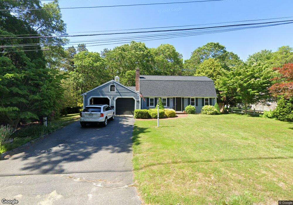
92 Powderhorn Way Centerville, MA 02632
Centerville NeighborhoodEstimated Value: $647,000 - $729,000
3
Beds
2
Baths
1,904
Sq Ft
$360/Sq Ft
Est. Value
About This Home
This home is located at 92 Powderhorn Way, Centerville, MA 02632 and is currently estimated at $684,782, approximately $359 per square foot. 92 Powderhorn Way is a home located in Barnstable County with nearby schools including Centerville Elementary School, Barnstable United Elementary School, and Barnstable Intermediate School.
Ownership History
Date
Name
Owned For
Owner Type
Purchase Details
Closed on
Dec 10, 2010
Sold by
Curley Terese M
Bought by
Drohan John J
Current Estimated Value
Home Financials for this Owner
Home Financials are based on the most recent Mortgage that was taken out on this home.
Original Mortgage
$150,000
Outstanding Balance
$98,428
Interest Rate
4.24%
Mortgage Type
Purchase Money Mortgage
Estimated Equity
$586,354
Create a Home Valuation Report for This Property
The Home Valuation Report is an in-depth analysis detailing your home's value as well as a comparison with similar homes in the area
Home Values in the Area
Average Home Value in this Area
Purchase History
| Date | Buyer | Sale Price | Title Company |
|---|---|---|---|
| Drohan John J | $300,000 | -- |
Source: Public Records
Mortgage History
| Date | Status | Borrower | Loan Amount |
|---|---|---|---|
| Open | Drohan John J | $150,000 |
Source: Public Records
Tax History Compared to Growth
Tax History
| Year | Tax Paid | Tax Assessment Tax Assessment Total Assessment is a certain percentage of the fair market value that is determined by local assessors to be the total taxable value of land and additions on the property. | Land | Improvement |
|---|---|---|---|---|
| 2025 | $4,566 | $564,400 | $155,500 | $408,900 |
| 2024 | $4,220 | $540,300 | $155,500 | $384,800 |
| 2023 | $3,893 | $466,800 | $141,400 | $325,400 |
| 2022 | $3,646 | $378,200 | $104,700 | $273,500 |
| 2021 | $3,846 | $366,600 | $104,700 | $261,900 |
| 2020 | $3,619 | $330,200 | $104,700 | $225,500 |
| 2019 | $3,685 | $326,700 | $104,700 | $222,000 |
| 2018 | $3,283 | $292,600 | $110,200 | $182,400 |
| 2017 | $3,132 | $291,100 | $110,200 | $180,900 |
| 2016 | $3,185 | $292,200 | $111,300 | $180,900 |
| 2015 | $3,153 | $290,600 | $108,700 | $181,900 |
Source: Public Records
Map
Nearby Homes
- 16 Bridgets Path
- 205 James Otis Rd
- 81 Monomoy Cir
- 21 Shannon Way
- 296 Buckskin Path
- 315 Prince Hinckley Rd
- 53 Meadow Farm Rd
- 52 Meadow Farm Rd
- 149 Old Stage Rd
- 70 Joyce Anne Rd
- 900 Old Stage Rd
- 7 Ebenezer
- 17 Ebenezer Rd
- 87 Foxglove Rd
- 73 Tern Ln
- 40 Sachem Dr
- 44 Avalon Cir
- 66 Tern Ln
- 156 S Main St
- 139 Falling Leaf Ln
- 82 Powderhorn Way
- 174 Ames Way
- 112 Powderhorn Way
- 159 Ames Way
- 72 Powderhorn Way
- 33 Nauset Ln
- 13 Nauset Ln
- 71 Powderhorn Way
- 119 Powderhorn Way
- 11 Buckskin Path
- 29 Buckskin Path
- 9 Chappaquiddick Rd
- 35 Nauset Ln
- 24 Deepwood Cir
- 6 Chappaquiddick Rd
- 36 Nauset Ln
- 133 Powderhorn Way
- 61 Powderhorn Way
- 21 Clipper Ln
- 24 Clipper Ln