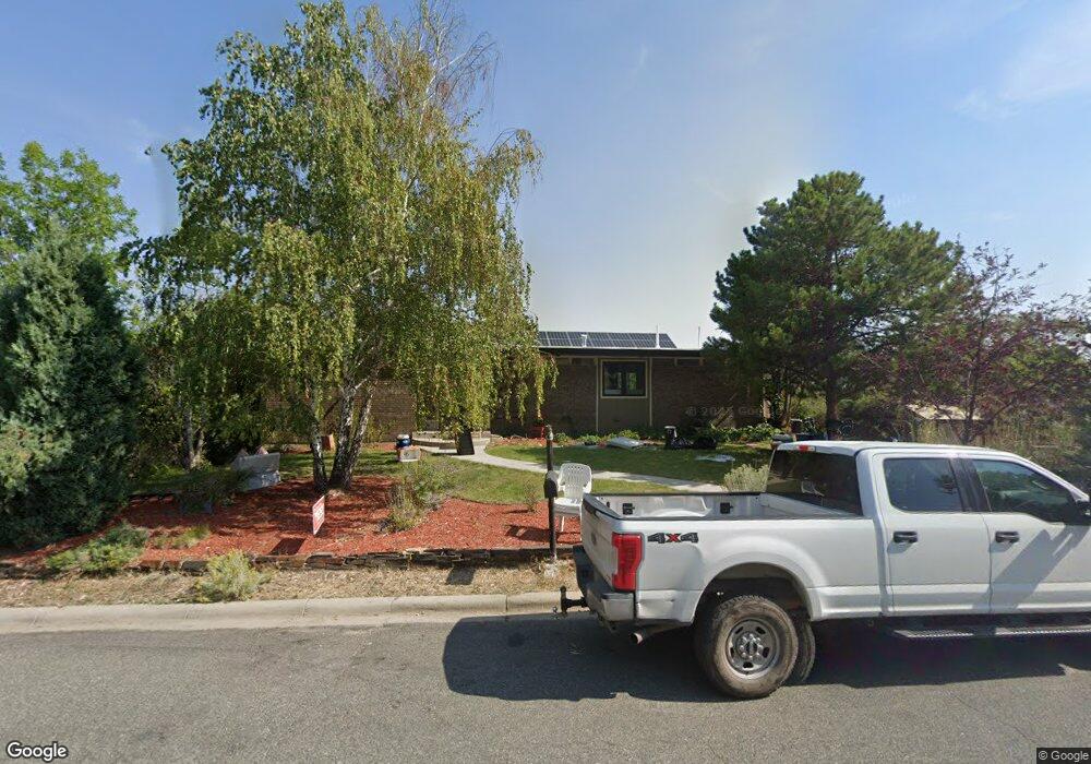
920 University St Helena, MT 59601
Upper West Side NeighborhoodEstimated Value: $503,000 - $633,699
3
Beds
2
Baths
1,551
Sq Ft
$368/Sq Ft
Est. Value
About This Home
This home is located at 920 University St, Helena, MT 59601 and is currently estimated at $570,925, approximately $368 per square foot. 920 University St is a home located in Lewis and Clark County with nearby schools including Hawthorne Elementary School, C.R. Anderson Middle School, and Helena Christian Academy.
Ownership History
Date
Name
Owned For
Owner Type
Purchase Details
Closed on
Oct 7, 2020
Sold by
Vanriper Janice S and Meloy Peter Michael
Bought by
Onushco Andrew J
Current Estimated Value
Home Financials for this Owner
Home Financials are based on the most recent Mortgage that was taken out on this home.
Original Mortgage
$280,000
Outstanding Balance
$249,045
Interest Rate
2.9%
Mortgage Type
New Conventional
Estimated Equity
$321,880
Create a Home Valuation Report for This Property
The Home Valuation Report is an in-depth analysis detailing your home's value as well as a comparison with similar homes in the area
Home Values in the Area
Average Home Value in this Area
Purchase History
| Date | Buyer | Sale Price | Title Company |
|---|---|---|---|
| Onushco Andrew J | -- | Helena Abstract And Title Co |
Source: Public Records
Mortgage History
| Date | Status | Borrower | Loan Amount |
|---|---|---|---|
| Open | Onushco Andrew J | $280,000 |
Source: Public Records
Tax History Compared to Growth
Tax History
| Year | Tax Paid | Tax Assessment Tax Assessment Total Assessment is a certain percentage of the fair market value that is determined by local assessors to be the total taxable value of land and additions on the property. | Land | Improvement |
|---|---|---|---|---|
| 2025 | $4,009 | $648,000 | $0 | $0 |
| 2024 | $4,795 | $500,900 | $0 | $0 |
| 2023 | $5,293 | $500,900 | $0 | $0 |
| 2022 | $4,699 | $376,400 | $0 | $0 |
| 2021 | $4,176 | $376,400 | $0 | $0 |
| 2020 | $4,217 | $328,700 | $0 | $0 |
| 2019 | $4,223 | $328,700 | $0 | $0 |
| 2018 | $4,256 | $336,700 | $0 | $0 |
| 2017 | $3,358 | $336,700 | $0 | $0 |
| 2016 | $3,166 | $270,000 | $0 | $0 |
| 2015 | $2,747 | $270,000 | $0 | $0 |
| 2014 | $2,797 | $152,163 | $0 | $0 |
Source: Public Records
Map
Nearby Homes
- 1122 Hauser Blvd
- 524 Hauser Blvd
- 618 Madison Ave
- 318 Stuart St
- 914 N Benton Ave
- Lots 29 & 30 Knight St
- 1601 Choteau St
- 1624 Cannon St Unit 35
- 1624 Cannon St Unit 26
- 1624 Cannon St Unit 25
- 1616 Cannon St Unit 17
- 290 S Harrison Ave
- 1801 Cannon St
- 316 S Park Ave
- 1160 Laurel St
- 1106 Hudson St
- TBD (Lot 12) Waukesha Ave
- 21 N Last Chance Gulch Unit 7G & 7H
- 21 N Last Chance Gulch Unit 6J
- 21 N Last Chance Gulch Unit 4J
- 930 University St
- 910 University St
- 919 Flowerree St
- 1011 University St
- 909 Flowerree St
- 900 University St
- 1015 University St
- 901 Flowerree St
- 620 Lincoln St
- 1025 Mauldin St
- 1027 University St
- 975 Gilbert St
- 919 Mauldin St
- 920 Flowerree St
- 930 Flowerree St
- 930 Flowerree St Unit UPPER WEST
- 906 Flowerree St
- 1032 Mauldin St
- 1011 Flowerree St
- 601 Garfield St