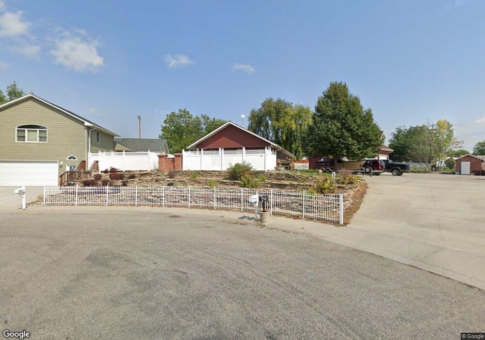
921 12th Ave Laurel, MT 59044
Estimated Value: $336,000 - $501,975
2
Beds
2
Baths
1,593
Sq Ft
$276/Sq Ft
Est. Value
About This Home
This home is located at 921 12th Ave, Laurel, MT 59044 and is currently estimated at $439,994, approximately $276 per square foot. 921 12th Ave is a home located in Yellowstone County with nearby schools including West School, Fred W. Graff School, and Laurel Middle School.
Ownership History
Date
Name
Owned For
Owner Type
Purchase Details
Closed on
Aug 5, 2022
Sold by
Shrader Raymond W
Bought by
Copen Daniel W and Copen Aggie A
Current Estimated Value
Purchase Details
Closed on
Mar 14, 2013
Sold by
Powell Terry E and Powell Bernadette D
Bought by
Shrader Raymond W and Shrader Mary P
Purchase Details
Closed on
Aug 4, 2006
Sold by
Hanser William
Bought by
Powell Terry E and Powell Bernadette D
Create a Home Valuation Report for This Property
The Home Valuation Report is an in-depth analysis detailing your home's value as well as a comparison with similar homes in the area
Home Values in the Area
Average Home Value in this Area
Purchase History
| Date | Buyer | Sale Price | Title Company |
|---|---|---|---|
| Copen Daniel W | -- | First American Title | |
| Shrader Raymond W | -- | None Available | |
| Powell Terry E | -- | None Available |
Source: Public Records
Tax History
| Year | Tax Paid | Tax Assessment Tax Assessment Total Assessment is a certain percentage of the fair market value that is determined by local assessors to be the total taxable value of land and additions on the property. | Land | Improvement |
|---|---|---|---|---|
| 2025 | $4,812 | $557,754 | $81,304 | $476,450 |
| 2024 | $4,812 | $472,276 | $53,406 | $418,870 |
| 2023 | $4,449 | $472,276 | $53,406 | $418,870 |
| 2022 | $2,951 | $274,000 | $0 | $0 |
| 2021 | $2,973 | $274,000 | $0 | $0 |
| 2020 | $2,938 | $266,300 | $0 | $0 |
| 2019 | $2,994 | $266,300 | $0 | $0 |
| 2018 | $2,708 | $241,800 | $0 | $0 |
| 2017 | $2,059 | $241,800 | $0 | $0 |
| 2016 | $2,728 | $270,600 | $0 | $0 |
| 2015 | $2,698 | $270,600 | $0 | $0 |
| 2014 | $2,473 | $128,525 | $0 | $0 |
Source: Public Records
Map
Nearby Homes
- 1109 10th Ave
- 1013 W 12th St
- 1014 Rochelle Ln
- 1216 W 12th Street Cir
- TBD Block 3 Lot 6
- 1254 W Beartooth Dr
- 603 5th Ave
- 310 (and 814 w 4) 8th Ave
- 319 6th Ave
- 102 8th Ave Unit B
- 1319 Valley Dr
- 1712 Paynes Place
- 116 4th Ave
- 110 E 5th St
- 516 Pennsylvania Ave
- 120 Forrest Ave
- 1631 Valley Dr
- 208 West Ave
- 1735 Lobo Dr
- 414 Wyoming Ave
Your Personal Tour Guide
Ask me questions while you tour the home.