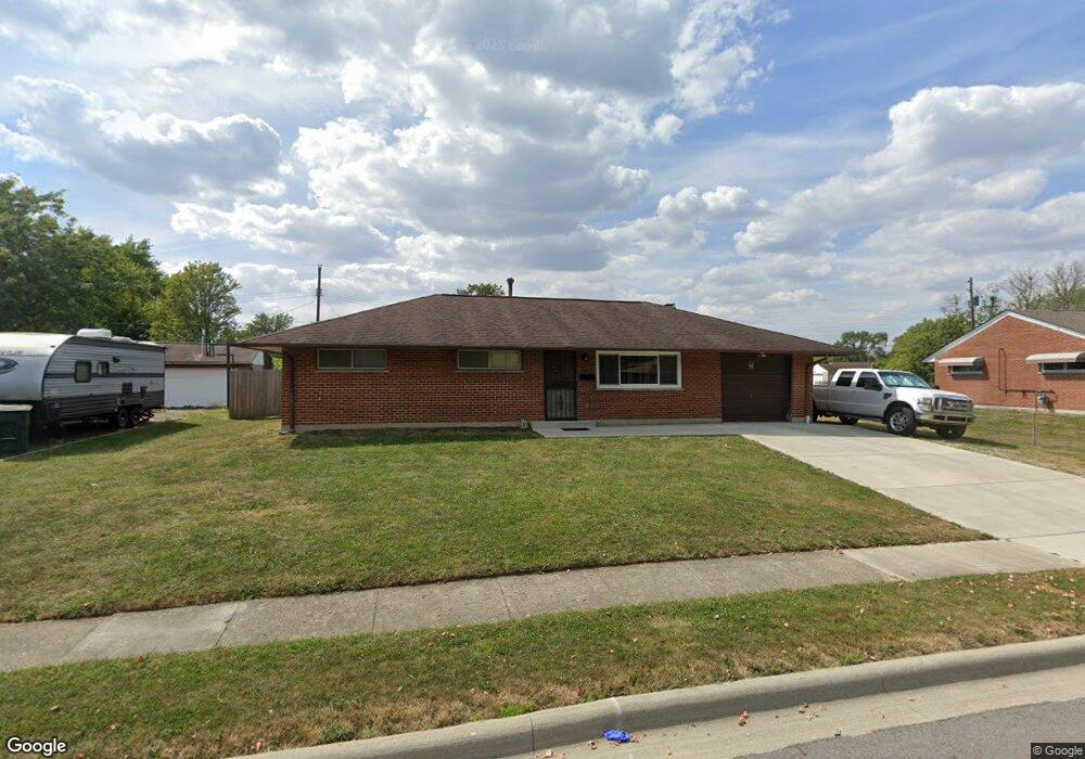
921 Stephen Dr W Columbus, OH 43204
Southwest Hilltop NeighborhoodEstimated Value: $216,889 - $248,000
3
Beds
2
Baths
1,464
Sq Ft
$160/Sq Ft
Est. Value
About This Home
This home is located at 921 Stephen Dr W, Columbus, OH 43204 and is currently estimated at $234,472, approximately $160 per square foot. 921 Stephen Dr W is a home located in Franklin County with nearby schools including Binns Elementary School, Wedgewood Middle School, and Briggs High School.
Ownership History
Date
Name
Owned For
Owner Type
Purchase Details
Closed on
Jan 31, 2005
Sold by
Doss Darrel L
Bought by
Doss Darrel L and Doss Wanda S
Current Estimated Value
Home Financials for this Owner
Home Financials are based on the most recent Mortgage that was taken out on this home.
Original Mortgage
$69,000
Outstanding Balance
$35,256
Interest Rate
5.83%
Mortgage Type
Purchase Money Mortgage
Estimated Equity
$199,216
Purchase Details
Closed on
Nov 13, 1995
Sold by
Drake Roscoe C
Bought by
Darrel L Doss
Home Financials for this Owner
Home Financials are based on the most recent Mortgage that was taken out on this home.
Original Mortgage
$69,734
Interest Rate
7.7%
Mortgage Type
FHA
Create a Home Valuation Report for This Property
The Home Valuation Report is an in-depth analysis detailing your home's value as well as a comparison with similar homes in the area
Home Values in the Area
Average Home Value in this Area
Purchase History
| Date | Buyer | Sale Price | Title Company |
|---|---|---|---|
| Doss Darrel L | -- | -- | |
| Darrel L Doss | $69,900 | -- |
Source: Public Records
Mortgage History
| Date | Status | Borrower | Loan Amount |
|---|---|---|---|
| Open | Doss Darrel L | $69,000 | |
| Closed | Darrel L Doss | $69,734 |
Source: Public Records
Tax History Compared to Growth
Tax History
| Year | Tax Paid | Tax Assessment Tax Assessment Total Assessment is a certain percentage of the fair market value that is determined by local assessors to be the total taxable value of land and additions on the property. | Land | Improvement |
|---|---|---|---|---|
| 2024 | $2,803 | $62,450 | $16,000 | $46,450 |
| 2023 | $2,767 | $62,440 | $15,995 | $46,445 |
| 2022 | $2,159 | $41,620 | $9,700 | $31,920 |
| 2021 | $2,162 | $41,620 | $9,700 | $31,920 |
| 2020 | $2,165 | $41,620 | $9,700 | $31,920 |
| 2019 | $2,070 | $34,130 | $8,090 | $26,040 |
| 2018 | $1,828 | $34,130 | $8,090 | $26,040 |
| 2017 | $2,069 | $34,130 | $8,090 | $26,040 |
| 2016 | $1,751 | $26,430 | $5,220 | $21,210 |
| 2015 | $1,589 | $26,430 | $5,220 | $21,210 |
| 2014 | $1,593 | $26,430 | $5,220 | $21,210 |
| 2013 | $924 | $31,080 | $6,125 | $24,955 |
Source: Public Records
Map
Nearby Homes
- 3318 Miriam Dr S
- 781 Stephen Dr W
- 840 Mark Place
- 3551 Glorious Rd
- 3360 Briggs Rd
- 1027 S Brinker Ave
- 695 Demorest Rd
- 756 Brixham Rd
- 737 S Brinker Ave
- 1243 Trevor Ct
- 617 Athens St
- 1226 Pinnacle Dr
- 3727-3729 Briggs Rd
- 585 Athens Ave
- 1181 Onslow Dr
- 894 Binns Blvd
- 793 Binns Blvd
- 828 Binns Blvd
- 3300-3302 Sullivant Ave
- 3029 Rosedale Ave
- 931 Stephen Dr W
- 941 Stephen Dr W
- 3424 Michael Ct
- 920 Stephen Dr W
- 899 Stephen Dr W
- 930 Stephen Dr W
- 910 Stephen Dr W
- 938 Stephen Dr W
- 924 Demorest Rd
- 914 Demorest Rd
- 887 Stephen Dr W
- 3432 Michael Ct
- 932 Demorest Rd
- 904 Demorest Rd
- 890 Stephen Dr W
- 948 Stephen Dr W
- 896 Demorest Rd
- 942 Demorest Rd
- 879 W Stephen Dr
- 911 Miriam Dr W