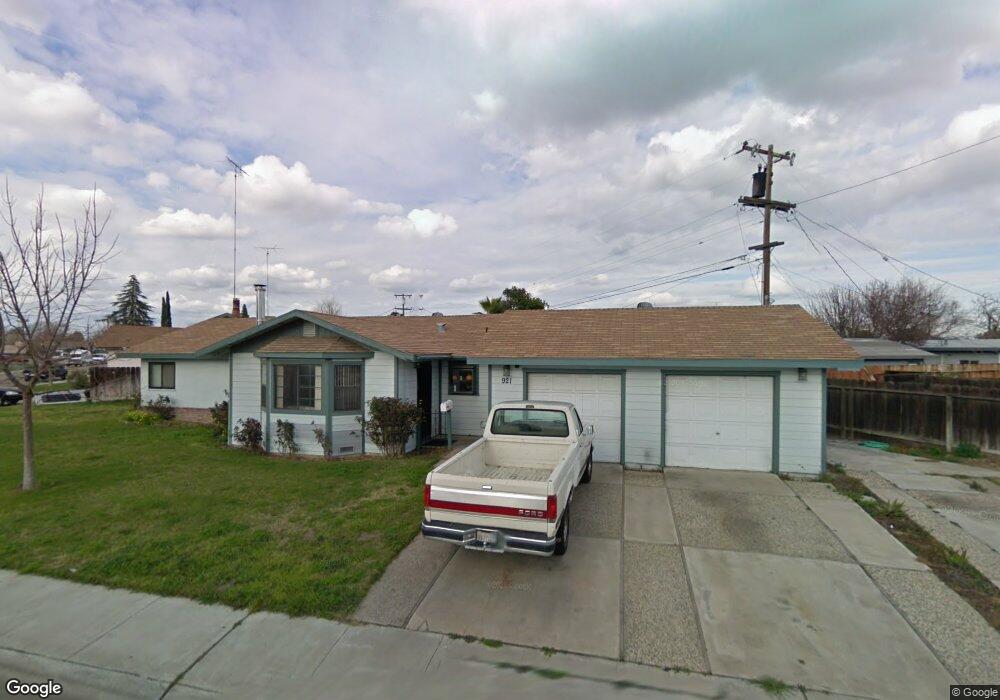
921 Yolo St Manteca, CA 95336
Downtown Manteca NeighborhoodEstimated Value: $417,000 - $454,000
3
Beds
2
Baths
1,891
Sq Ft
$230/Sq Ft
Est. Value
About This Home
This home is located at 921 Yolo St, Manteca, CA 95336 and is currently estimated at $435,865, approximately $230 per square foot. 921 Yolo St is a home located in San Joaquin County with nearby schools including Lincoln Elementary School, Manteca High School, and St. Anthony's Catholic School.
Ownership History
Date
Name
Owned For
Owner Type
Purchase Details
Closed on
Oct 26, 2005
Sold by
Lavoie Phillippe L and Lavoie Deborah J
Bought by
Lavoie Phillippe L and Lavoie Deborah J
Current Estimated Value
Purchase Details
Closed on
Jun 6, 1996
Sold by
Lavoie Phillippe L
Bought by
Lavoie Phillippe L
Home Financials for this Owner
Home Financials are based on the most recent Mortgage that was taken out on this home.
Original Mortgage
$65,732
Interest Rate
8.09%
Mortgage Type
FHA
Create a Home Valuation Report for This Property
The Home Valuation Report is an in-depth analysis detailing your home's value as well as a comparison with similar homes in the area
Home Values in the Area
Average Home Value in this Area
Purchase History
| Date | Buyer | Sale Price | Title Company |
|---|---|---|---|
| Lavoie Phillippe L | -- | -- | |
| Lavoie Phillippe L | -- | -- | |
| Lavoie Phillippe L | -- | North American Title Co |
Source: Public Records
Mortgage History
| Date | Status | Borrower | Loan Amount |
|---|---|---|---|
| Closed | Lavoie Phillippe L | $65,732 |
Source: Public Records
Tax History
| Year | Tax Paid | Tax Assessment Tax Assessment Total Assessment is a certain percentage of the fair market value that is determined by local assessors to be the total taxable value of land and additions on the property. | Land | Improvement |
|---|---|---|---|---|
| 2025 | $1,696 | $151,029 | $57,410 | $93,619 |
| 2024 | $1,648 | $148,069 | $56,285 | $91,784 |
| 2023 | $1,628 | $145,167 | $55,182 | $89,985 |
| 2022 | $1,604 | $142,321 | $54,100 | $88,221 |
| 2021 | $1,587 | $139,532 | $53,040 | $86,492 |
| 2020 | $1,523 | $138,103 | $52,497 | $85,606 |
| 2019 | $1,503 | $135,396 | $51,468 | $83,928 |
| 2018 | $1,483 | $132,742 | $50,459 | $82,283 |
| 2017 | $1,462 | $130,140 | $49,470 | $80,670 |
| 2016 | $1,427 | $127,588 | $48,500 | $79,088 |
| 2014 | $1,327 | $123,211 | $46,836 | $76,375 |
Source: Public Records
Map
Nearby Homes
- 317 Moffat Blvd Unit 21
- 317 Moffat Blvd Unit 14
- 317 Moffat Blvd Unit 6
- 317 Moffat Blvd Unit 5
- 317 Moffat Blvd Unit 7
- 317 Moffat Blvd Unit 20
- 196 Dyer Ave
- 1091 Alba St
- 1502 Churcher Dr
- 123 Wawona St
- 119 N Sherman Ave
- 628 E North St
- 1047 Lindo Ct
- 311 Charles Ave
- 241 Martha St
- 763 Grafton St
- 1709 Queensland Ave
- 360 Park Ave
- 1830 E Yosemite Ave Unit 128
- 1830 E Yosemite Ave Unit 186
Your Personal Tour Guide
Ask me questions while you tour the home.