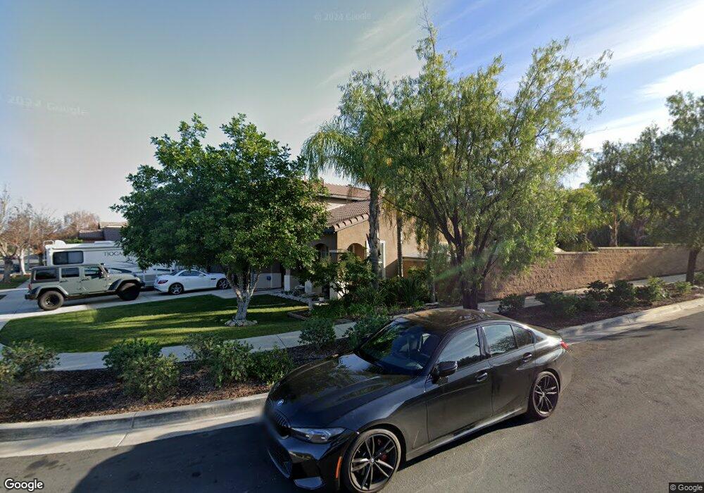
922 Stanislaus Dr Corona, CA 92881
South Corona NeighborhoodEstimated Value: $982,136 - $1,255,000
4
Beds
3
Baths
2,851
Sq Ft
$382/Sq Ft
Est. Value
About This Home
This home is located at 922 Stanislaus Dr, Corona, CA 92881 and is currently estimated at $1,088,534, approximately $381 per square foot. 922 Stanislaus Dr is a home located in Riverside County with nearby schools including Orange Elementary School, Citrus Hills Intermediate School, and Santiago High School.
Ownership History
Date
Name
Owned For
Owner Type
Purchase Details
Closed on
Apr 5, 2000
Sold by
Mountain Gate Development Company Llc
Bought by
Anderson Patrick D and Anderson Tracy L
Current Estimated Value
Home Financials for this Owner
Home Financials are based on the most recent Mortgage that was taken out on this home.
Original Mortgage
$223,950
Outstanding Balance
$76,669
Interest Rate
8.22%
Mortgage Type
Purchase Money Mortgage
Estimated Equity
$1,011,865
Create a Home Valuation Report for This Property
The Home Valuation Report is an in-depth analysis detailing your home's value as well as a comparison with similar homes in the area
Home Values in the Area
Average Home Value in this Area
Purchase History
| Date | Buyer | Sale Price | Title Company |
|---|---|---|---|
| Anderson Patrick D | $280,000 | First American Title Co |
Source: Public Records
Mortgage History
| Date | Status | Borrower | Loan Amount |
|---|---|---|---|
| Open | Anderson Patrick D | $223,950 |
Source: Public Records
Tax History Compared to Growth
Tax History
| Year | Tax Paid | Tax Assessment Tax Assessment Total Assessment is a certain percentage of the fair market value that is determined by local assessors to be the total taxable value of land and additions on the property. | Land | Improvement |
|---|---|---|---|---|
| 2025 | $5,170 | $430,324 | $107,573 | $322,751 |
| 2023 | $5,170 | $413,616 | $103,397 | $310,219 |
| 2022 | $5,021 | $405,507 | $101,370 | $304,137 |
| 2021 | $4,930 | $397,557 | $99,383 | $298,174 |
| 2020 | $4,880 | $393,481 | $98,364 | $295,117 |
| 2019 | $5,100 | $385,767 | $96,436 | $289,331 |
| 2018 | $6,142 | $378,204 | $94,546 | $283,658 |
| 2017 | $6,033 | $370,790 | $92,693 | $278,097 |
| 2016 | $5,987 | $363,521 | $90,876 | $272,645 |
| 2015 | $5,908 | $358,062 | $89,512 | $268,550 |
| 2014 | $5,858 | $351,050 | $87,759 | $263,291 |
Source: Public Records
Map
Nearby Homes
- 3805 Fremont Dr
- 4009 Cerveza Cir
- 1180 Cleveland Way
- 4002 Crown Ranch Rd
- 4008 Crown Ranch Rd
- 1204 Arbenz Cir
- 540 Newport Cir
- 1088 Viewpointe Ln
- 3763 Trinity Cir
- 651 Viewpointe Ln
- 444 Appleby St
- 1236 Emeraldport St
- 4085 Strandberg St
- 363 Appleby St
- 11631009 Lester Ave
- 423 Cleveland Way
- 1414 Baldwin Dr
- 479 Adirondack Dr
- 1257 Via Venezia Cir
- 3547 Hawthorne Dr
- 934 Stanislaus Dr
- 925 Caribou Cir
- 946 Stanislaus Dr
- 945 Caribou Cir
- 3750 Wasatch Dr
- 3730 Wasatch Dr
- 965 Caribou Cir
- 923 Stanislaus Dr
- 958 Stanislaus Dr
- 935 Stanislaus Dr
- 911 Stanislaus Dr
- 3710 Wasatch Dr
- 947 Stanislaus Dr
- 3790 Wasatch Dr
- 3720 Huron Cir
- 970 Stanislaus Dr
- 959 Stanislaus Dr
- 3740 Huron Cir
- 3810 Wasatch Dr
- 920 Caribou Cir