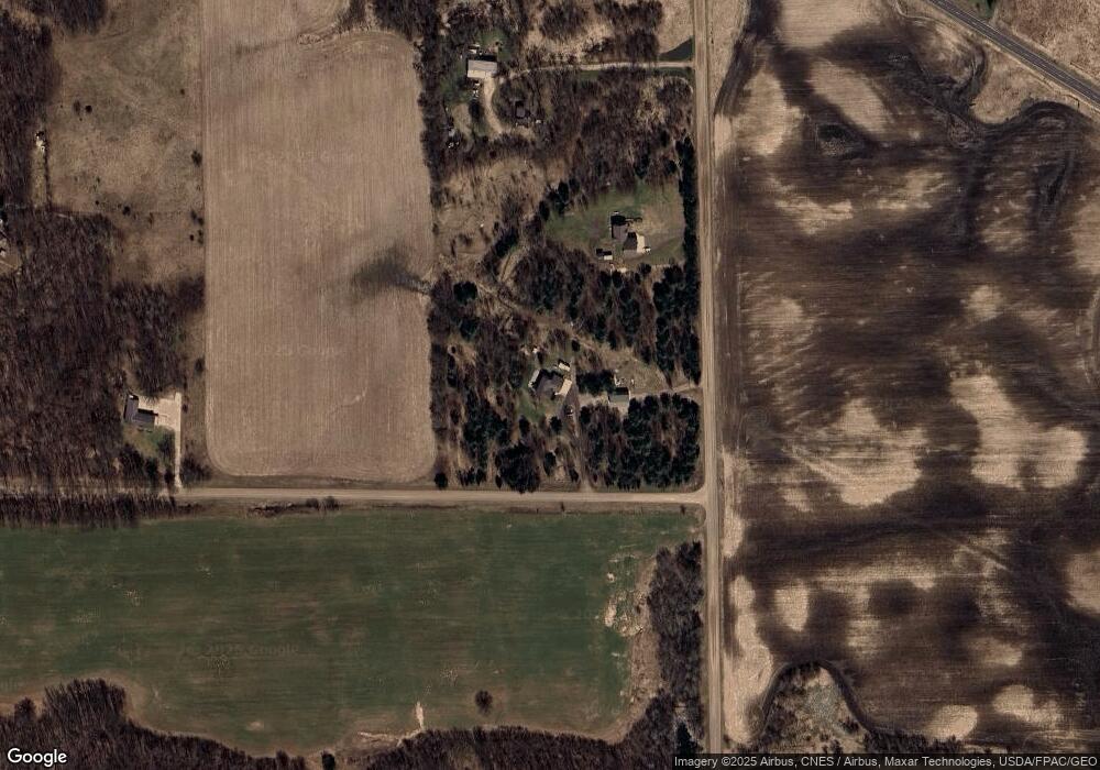
922 Stark Rd W Harris, MN 55032
Estimated Value: $311,000 - $499,000
4
Beds
2
Baths
1,184
Sq Ft
$343/Sq Ft
Est. Value
About This Home
This home is located at 922 Stark Rd W, Harris, MN 55032 and is currently estimated at $406,010, approximately $342 per square foot. 922 Stark Rd W is a home located in Chisago County with nearby schools including Cambridge Primary School, Cambridge Intermediate School, and Cambridge Middle School.
Ownership History
Date
Name
Owned For
Owner Type
Purchase Details
Closed on
Dec 14, 2018
Sold by
Ross Melissa B
Bought by
Raasch Jason R
Current Estimated Value
Purchase Details
Closed on
Dec 26, 2016
Sold by
Mcfariane Jean M
Bought by
Raasch Jason R and Raasch Melissa B
Home Financials for this Owner
Home Financials are based on the most recent Mortgage that was taken out on this home.
Original Mortgage
$159,600
Interest Rate
4.03%
Mortgage Type
New Conventional
Purchase Details
Closed on
Nov 1, 2016
Sold by
Mcfarlane Jean M
Bought by
Raasch Jason R and Raasch Melissa B
Home Financials for this Owner
Home Financials are based on the most recent Mortgage that was taken out on this home.
Original Mortgage
$159,600
Interest Rate
4.03%
Mortgage Type
New Conventional
Create a Home Valuation Report for This Property
The Home Valuation Report is an in-depth analysis detailing your home's value as well as a comparison with similar homes in the area
Home Values in the Area
Average Home Value in this Area
Purchase History
| Date | Buyer | Sale Price | Title Company |
|---|---|---|---|
| Raasch Jason R | -- | -- | |
| Raasch Jason R | $180,000 | Title Source Inc | |
| Raasch Jason R | $150,355 | None Available |
Source: Public Records
Mortgage History
| Date | Status | Borrower | Loan Amount |
|---|---|---|---|
| Previous Owner | Raasch Jason R | $159,600 |
Source: Public Records
Tax History Compared to Growth
Tax History
| Year | Tax Paid | Tax Assessment Tax Assessment Total Assessment is a certain percentage of the fair market value that is determined by local assessors to be the total taxable value of land and additions on the property. | Land | Improvement |
|---|---|---|---|---|
| 2023 | $4,292 | $337,600 | $116,100 | $221,500 |
| 2022 | $3,956 | $283,100 | $101,900 | $181,200 |
| 2021 | $2,934 | $240,900 | $0 | $0 |
| 2020 | $2,808 | $223,500 | $78,000 | $145,500 |
| 2019 | $2,560 | $0 | $0 | $0 |
| 2018 | $2,388 | $0 | $0 | $0 |
| 2017 | $2,326 | $0 | $0 | $0 |
| 2016 | $2,324 | $0 | $0 | $0 |
| 2015 | $2,286 | $0 | $0 | $0 |
| 2014 | -- | $157,900 | $0 | $0 |
Source: Public Records
Map
Nearby Homes
- 1708 430th St W
- 33190 Marmon St NE
- 4545 349th Ave NE
- 43929 Cedarcrest Trail
- TBD Cambridge Way
- 2320 Cedarcrest Ct
- 46595 Acacia Trail
- 46620 Cambridge Dr
- 4828 361st Ave NE
- 31864 Tucker St NE
- 32128 Virgo St NE
- XXX Virgo St NE
- TBD Virgo St NE
- 76xx 470th St
- XXX 328th Ave NE
- 3375 Stark Rd NE
- TBD 313th Ave NE
- xxxx Virgo St NE
- 3462 328th Ave NE
- 48901 Anchor Ave
- 43995 Alpine Ave
- 1017 Stark Rd W
- 43700 Amery Ave
- 44020 Alpine Ave
- 44125 Alpine Ave
- 44076 Alpine Ave
- 1190 Stark Rd
- 43624 Amery Ave
- 1186 Antler Rd
- xxx Amery Ave W
- 000 Stark Rd
- XXXX Stark Rd
- 1150 Antler Rd
- 1191 Antler Rd
- 44175 Amery Ave
- 980 Antler Rd
- 840 Antler Rd
- 44320 Alpine Ave
- 43858 Balsam Ave
- 0000 Stark Rd W
