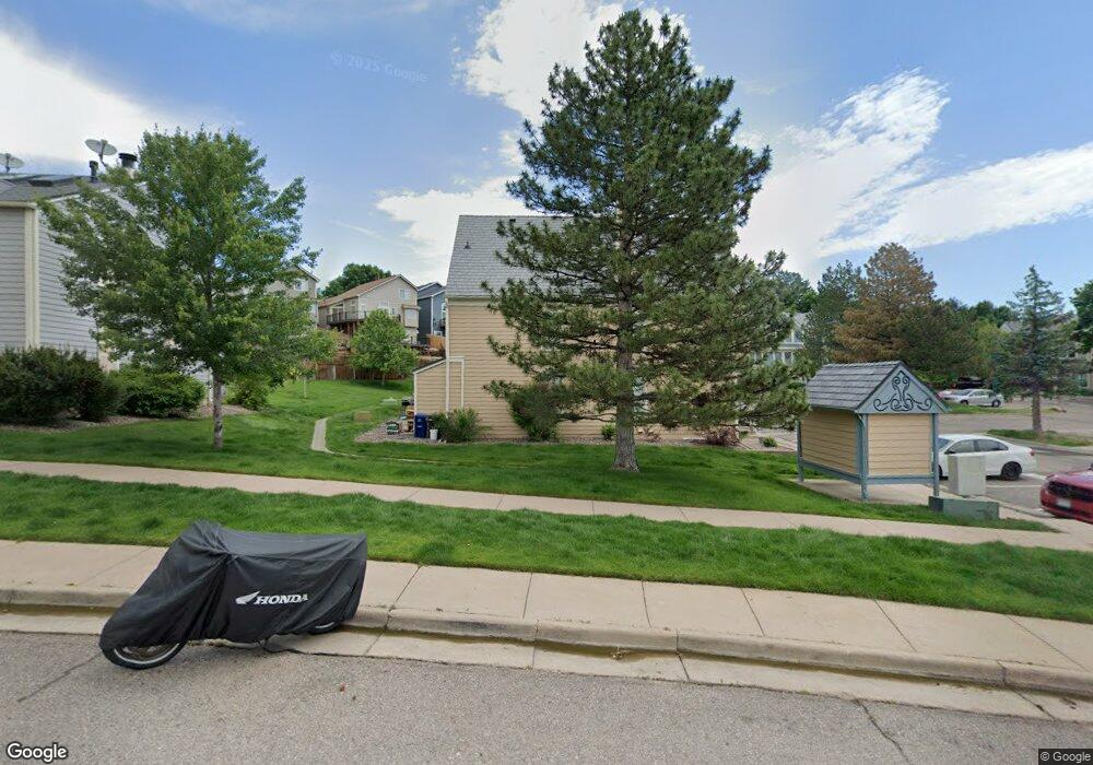
9232 W Ontario Dr Littleton, CO 80128
Stony Creek NeighborhoodEstimated Value: $395,000 - $415,108
3
Beds
2
Baths
1,595
Sq Ft
$256/Sq Ft
Est. Value
About This Home
This home is located at 9232 W Ontario Dr, Littleton, CO 80128 and is currently estimated at $407,777, approximately $255 per square foot. 9232 W Ontario Dr is a home located in Jefferson County with nearby schools including Stony Creek Elementary School, Deer Creek Middle School, and Chatfield High School.
Ownership History
Date
Name
Owned For
Owner Type
Purchase Details
Closed on
Jan 6, 2020
Sold by
Beltran Maria M
Bought by
King Joanne and King Ian
Current Estimated Value
Home Financials for this Owner
Home Financials are based on the most recent Mortgage that was taken out on this home.
Original Mortgage
$299,475
Outstanding Balance
$263,407
Interest Rate
3.37%
Mortgage Type
FHA
Estimated Equity
$144,370
Purchase Details
Closed on
Oct 30, 2017
Sold by
Mcgraw Mathew and Mcgraw Carly
Bought by
Beltran Maria M
Home Financials for this Owner
Home Financials are based on the most recent Mortgage that was taken out on this home.
Original Mortgage
$261,803
Interest Rate
3.83%
Mortgage Type
New Conventional
Purchase Details
Closed on
Jun 26, 2015
Sold by
Abadie Jacque S
Bought by
Mcgraw Mathew and Mcgraw Carly
Home Financials for this Owner
Home Financials are based on the most recent Mortgage that was taken out on this home.
Original Mortgage
$187,540
Interest Rate
4.4%
Mortgage Type
FHA
Purchase Details
Closed on
Sep 9, 2011
Sold by
Abadie Jacque S and Abadie Lynn M
Bought by
Abadie Jacque S
Purchase Details
Closed on
Sep 26, 2007
Sold by
Yates Andrew K and Yates Amanda M
Bought by
Abadie Jacque S and Abadie Lynn M
Home Financials for this Owner
Home Financials are based on the most recent Mortgage that was taken out on this home.
Original Mortgage
$125,600
Interest Rate
6.55%
Mortgage Type
Stand Alone Second
Purchase Details
Closed on
Mar 3, 2006
Sold by
Burr Jeanelle C and Sharp Jason J
Bought by
Yates Andrew K and Yates Amanda M
Home Financials for this Owner
Home Financials are based on the most recent Mortgage that was taken out on this home.
Original Mortgage
$127,900
Interest Rate
5.75%
Mortgage Type
Purchase Money Mortgage
Purchase Details
Closed on
Sep 14, 2000
Sold by
Sanders W Oneal Jr Sanders Bridget M
Bought by
Burr Jeanelle C and Sharp Jason J
Home Financials for this Owner
Home Financials are based on the most recent Mortgage that was taken out on this home.
Original Mortgage
$127,045
Interest Rate
7.99%
Mortgage Type
FHA
Create a Home Valuation Report for This Property
The Home Valuation Report is an in-depth analysis detailing your home's value as well as a comparison with similar homes in the area
Home Values in the Area
Average Home Value in this Area
Purchase History
| Date | Buyer | Sale Price | Title Company |
|---|---|---|---|
| King Joanne | $305,000 | Land Title Guarantee | |
| Beltran Maria M | $269,900 | Land Title Guarantee Company | |
| Mcgraw Mathew | $195,000 | Title Assure Inc | |
| Abadie Jacque S | -- | None Available | |
| Abadie Jacque S | $157,000 | Security Title | |
| Yates Andrew K | $159,900 | None Available | |
| Burr Jeanelle C | $127,900 | Colorado National Title |
Source: Public Records
Mortgage History
| Date | Status | Borrower | Loan Amount |
|---|---|---|---|
| Open | King Joanne | $299,475 | |
| Previous Owner | Beltran Maria M | $261,803 | |
| Previous Owner | Mcgraw Mathew | $187,540 | |
| Previous Owner | Abadie Jacque S | $125,600 | |
| Previous Owner | Yates Andrew K | $127,900 | |
| Previous Owner | Burr Jeanelle C | $127,045 |
Source: Public Records
Tax History Compared to Growth
Tax History
| Year | Tax Paid | Tax Assessment Tax Assessment Total Assessment is a certain percentage of the fair market value that is determined by local assessors to be the total taxable value of land and additions on the property. | Land | Improvement |
|---|---|---|---|---|
| 2024 | $2,096 | $21,403 | $6,030 | $15,373 |
| 2023 | $2,096 | $21,403 | $6,030 | $15,373 |
| 2022 | $2,253 | $19,679 | $4,170 | $15,509 |
| 2021 | $1,988 | $20,245 | $4,290 | $15,955 |
| 2020 | $1,933 | $19,733 | $4,290 | $15,443 |
| 2019 | $1,909 | $19,733 | $4,290 | $15,443 |
| 2018 | $1,567 | $15,639 | $3,600 | $12,039 |
| 2017 | $1,430 | $15,639 | $3,600 | $12,039 |
| 2016 | $1,254 | $13,054 | $3,184 | $9,870 |
| 2015 | -- | $13,054 | $3,184 | $9,870 |
| 2014 | $973 | $9,632 | $2,229 | $7,403 |
Source: Public Records
Map
Nearby Homes
- 9423 W Ontario Dr
- 9364 W Coal Mine Ave
- 6766 S Holland Way
- 9448 W Plymouth Ave
- 6765 S Independence St
- 6763 S Independence St
- 6755 S Field St Unit 618
- 6755 S Field St Unit 623
- 9100 W Portland Ave
- 6753 S Independence St
- 6751 S Independence St
- 6705 S Field St Unit 802
- 6705 S Field St Unit 801
- 9088 W Plymouth Ave
- 6784 S Independence St
- 8878 W Plymouth Ave
- 9519 W Coal Mine Ave Unit F
- 9603 W Euclid Dr
- 9505 W Coal Mine Ave Unit F
- 8729 W Euclid Place
- 9230 W Ontario Dr
- 9234 W Ontario Dr
- 9228 W Ontario Dr
- 9236 W Ontario Dr
- 9226 W Ontario Dr
- 9238 W Ontario Dr
- 9242 W Ontario Dr
- 9224 W Ontario Dr
- 9244 W Ontario Dr
- 9222 W Ontario Dr
- 9220 W Ontario Dr
- 9218 W Ontario Dr
- 9216 W Ontario Dr
- 9214 W Ontario Dr
- 9246 W Ontario Dr
- 9248 W Ontario Dr
- 9274 W Ontario Dr
- 9342 W Coal Mine Ave
- 9338 W Coal Mine Ave
- 9276 W Ontario Dr