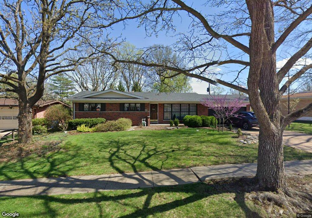
9242 Lavant Dr Saint Louis, MO 63126
Estimated Value: $346,000 - $379,000
3
Beds
2
Baths
1,528
Sq Ft
$237/Sq Ft
Est. Value
About This Home
This home is located at 9242 Lavant Dr, Saint Louis, MO 63126 and is currently estimated at $361,811, approximately $236 per square foot. 9242 Lavant Dr is a home located in St. Louis County with nearby schools including Long Elementary, Truman Middle School, and Lindbergh High School.
Ownership History
Date
Name
Owned For
Owner Type
Purchase Details
Closed on
Sep 15, 2015
Sold by
Baumgarth Catherine D
Bought by
Baumgarth Catherine D and Catherine D Baumgarth Revocable Living T
Current Estimated Value
Purchase Details
Closed on
Jan 3, 2000
Sold by
Baumgarth Fred H and Baumgarth Catherine D
Bought by
Catherine D Baumgarth Revocable Living T
Create a Home Valuation Report for This Property
The Home Valuation Report is an in-depth analysis detailing your home's value as well as a comparison with similar homes in the area
Home Values in the Area
Average Home Value in this Area
Purchase History
| Date | Buyer | Sale Price | Title Company |
|---|---|---|---|
| Baumgarth Catherine D | -- | None Available | |
| Baumgarth Catherine D | -- | None Available | |
| Catherine D Baumgarth Revocable Living T | -- | -- | |
| Frederic H Baumgarth Revocable Living Tr | -- | -- |
Source: Public Records
Tax History Compared to Growth
Tax History
| Year | Tax Paid | Tax Assessment Tax Assessment Total Assessment is a certain percentage of the fair market value that is determined by local assessors to be the total taxable value of land and additions on the property. | Land | Improvement |
|---|---|---|---|---|
| 2025 | $3,725 | $61,690 | $26,330 | $35,360 |
| 2024 | $3,725 | $53,600 | $22,570 | $31,030 |
| 2023 | $3,443 | $53,600 | $22,570 | $31,030 |
| 2022 | $3,493 | $48,450 | $22,570 | $25,880 |
| 2021 | $3,183 | $48,450 | $22,570 | $25,880 |
| 2020 | $2,826 | $41,440 | $16,930 | $24,510 |
| 2019 | $2,818 | $41,440 | $16,930 | $24,510 |
| 2018 | $2,822 | $37,610 | $10,340 | $27,270 |
| 2017 | $2,791 | $37,610 | $10,340 | $27,270 |
| 2016 | $2,450 | $33,410 | $10,340 | $23,070 |
| 2015 | $2,464 | $33,410 | $10,340 | $23,070 |
| 2014 | $2,462 | $33,030 | $6,560 | $26,470 |
Source: Public Records
Map
Nearby Homes
- 9188 Rusticwood Trail
- 9218 Bent Pine Ct Unit H
- 9209 Bent Pine Ct Unit H
- 11102 Wedgestone Ct
- 9606 Castanet Ct
- 11206 Santa Clara Dr
- 7910 Royal Arms Ct Unit 1
- 11042 Wylestone Ct
- 9506 Trinadad Ln
- 9535 Arban Dr
- 9742 Croftwood Dr
- 7508 Bull Run Dr
- 7904 Camelot Ln Unit 4
- 10649 W Knollshire Dr
- 8914 Chasebury Terrace
- 8737 Villa Crest Dr
- 7636 Fort Henry Dr
- 9405 Vandervoort Ct
- 11132 Pine Forest Dr
- 8867 Red Oak Dr
- 9236 Lavant Dr
- 9248 Lavant Dr
- 9175 Pardee Spur
- 9245 Laramie Dr
- 9228 Lavant Dr
- 9237 Lavant Dr
- 9241 Lavant Dr
- 9169 Pardee Spur
- 9239 Laramie Dr
- 9233 Lavant Dr
- 9245 Lavant Dr
- 9229 Lavant Dr
- 9224 Lavant Dr
- 9235 Laramie Dr
- 9176 Pardee Spur
- 9300 Lavant Dr
- 9249 Lavant Dr
- 9172 Pardee Spur
- 9242 Queenston Dr
- 9238 Queenston Dr