925 1st Crown Point Rd Strafford, NH 03884
Estimated Value: $672,000 - $814,000
3
Beds
3
Baths
2,396
Sq Ft
$312/Sq Ft
Est. Value
About This Home
This home is located at 925 1st Crown Point Rd, Strafford, NH 03884 and is currently estimated at $747,563, approximately $312 per square foot. 925 1st Crown Point Rd is a home located in Strafford County with nearby schools including Strafford School and Coe-Brown Northwood Academy.
Ownership History
Date
Name
Owned For
Owner Type
Purchase Details
Closed on
May 10, 2023
Sold by
Betts-Levine Derek
Bought by
Derek Betts-Levine Ret
Current Estimated Value
Purchase Details
Closed on
Jun 17, 2022
Sold by
Hartranft David P and Kartranft Caroline A
Bought by
Betts-Levine Derek
Create a Home Valuation Report for This Property
The Home Valuation Report is an in-depth analysis detailing your home's value as well as a comparison with similar homes in the area
Home Values in the Area
Average Home Value in this Area
Purchase History
| Date | Buyer | Sale Price | Title Company |
|---|---|---|---|
| Derek Betts-Levine Ret | -- | None Available | |
| Betts-Levine Derek | $650,000 | None Available |
Source: Public Records
Tax History Compared to Growth
Tax History
| Year | Tax Paid | Tax Assessment Tax Assessment Total Assessment is a certain percentage of the fair market value that is determined by local assessors to be the total taxable value of land and additions on the property. | Land | Improvement |
|---|---|---|---|---|
| 2024 | $9,937 | $502,900 | $84,700 | $418,200 |
| 2023 | $9,374 | $502,900 | $84,700 | $418,200 |
| 2022 | $8,615 | $502,900 | $84,700 | $418,200 |
| 2021 | $9,128 | $494,500 | $84,700 | $409,800 |
| 2020 | $9,160 | $364,900 | $80,700 | $284,200 |
| 2019 | $8,564 | $364,900 | $80,700 | $284,200 |
| 2018 | $8,771 | $371,200 | $80,700 | $290,500 |
| 2016 | $7,888 | $371,200 | $80,700 | $290,500 |
| 2015 | $8,013 | $367,400 | $95,400 | $272,000 |
| 2014 | $8,509 | $367,400 | $95,400 | $272,000 |
| 2013 | $6,278 | $276,800 | $95,400 | $181,400 |
| 2012 | $6,195 | $276,800 | $95,400 | $181,400 |
Source: Public Records
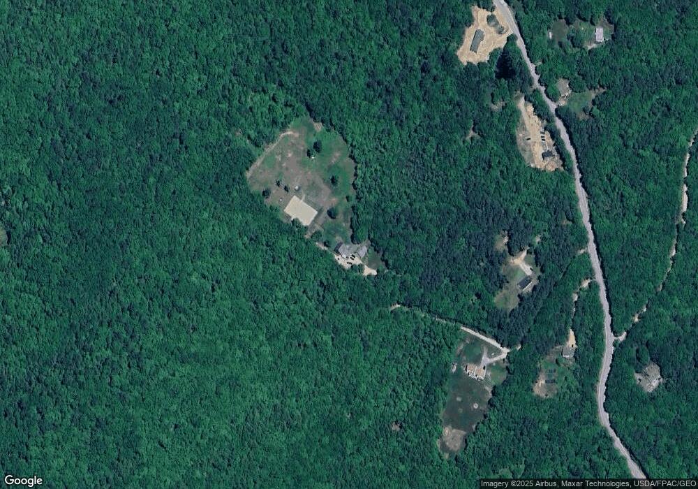
Map
Nearby Homes
- 11 Cross Rd
- 825 Second Crown Point Rd
- 22 Stonewall Dr
- 479 Ten Rod Rd
- TBD Merlin Rd
- 00 Squire Rd
- 0 Strafford Rd Unit 5057984
- 123 Baxter Lake Dr
- 296 Baxter Lake Dr
- 184 Pocahontas Ln Unit 184
- 151 Chocorua Way
- 397 Strafford Rd
- 1 Baxter Lake Dr Unit 347 Atoka Ln
- 22 Paugus Cir
- 14 Lorraines Ln
- 948 Strafford Rd
- 11-1 Parsons Hill Rd
- 826 S Barnstead Rd
- 83 Sloper Rd
- Map 220 Lot 16 Four Rod Rd
- 925 1st Crown Point Rd
- 923 1st Crown Point Rd
- 927 1st Crown Point Rd
- 945 1st Crown Point Rd
- 917 1st Crown Point Rd
- 948 1st Crown Point Rd
- 948 1st Crown Point Rd
- 961 1st Crown Point Rd
- 961 1st Crown Point Rd
- 985 1st Crown Point Rd
- 910 1st Crown Point Rd
- 997 1st Crown Point Rd
- 1011 1st Crown Point Rd
- 912 1st Crown Point Rd
- 1015 1st Crown Point Rd
- 1015 1st Crown Point Rd
- 966 1st Crown Point Rd
- 840 1st Crown Point Rd
- 1031 1st Crown Point Rd
- 1035 1st Crown Point Rd