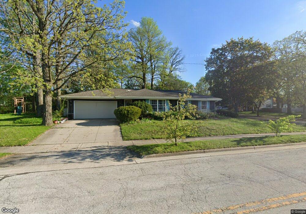
925 Burr Oak Blvd Waukesha, WI 53189
Estimated Value: $382,000 - $426,116
4
Beds
2
Baths
1,821
Sq Ft
$223/Sq Ft
Est. Value
About This Home
This home is located at 925 Burr Oak Blvd, Waukesha, WI 53189 and is currently estimated at $406,029, approximately $222 per square foot. 925 Burr Oak Blvd is a home located in Waukesha County with nearby schools including Prairie Elementary School, Les Paul Middle School - Central Campus, and West High School.
Ownership History
Date
Name
Owned For
Owner Type
Purchase Details
Closed on
Mar 27, 2025
Sold by
Bhat Avinash Thekkunje and Chickering Linda A
Bought by
Linda A Chickering And Avinash T Bhat Revocab and Chickering
Current Estimated Value
Purchase Details
Closed on
Feb 27, 2008
Sold by
Peterson Scott J and Vaitkus Heidi S
Bought by
James R Peterson Revocable Living Trust
Create a Home Valuation Report for This Property
The Home Valuation Report is an in-depth analysis detailing your home's value as well as a comparison with similar homes in the area
Home Values in the Area
Average Home Value in this Area
Purchase History
| Date | Buyer | Sale Price | Title Company |
|---|---|---|---|
| Linda A Chickering And Avinash T Bhat Revocab | -- | None Listed On Document | |
| James R Peterson Revocable Living Trust | $202,000 | None Available |
Source: Public Records
Tax History Compared to Growth
Tax History
| Year | Tax Paid | Tax Assessment Tax Assessment Total Assessment is a certain percentage of the fair market value that is determined by local assessors to be the total taxable value of land and additions on the property. | Land | Improvement |
|---|---|---|---|---|
| 2024 | $6,014 | $402,500 | $67,400 | $335,100 |
| 2023 | $5,856 | $402,500 | $67,400 | $335,100 |
| 2022 | $4,607 | $240,400 | $68,000 | $172,400 |
| 2021 | $4,716 | $240,400 | $68,000 | $172,400 |
| 2020 | $4,556 | $240,400 | $68,000 | $172,400 |
| 2019 | $4,415 | $240,400 | $68,000 | $172,400 |
| 2018 | $4,052 | $216,600 | $60,000 | $156,600 |
| 2017 | $4,042 | $216,600 | $60,000 | $156,600 |
| 2016 | $3,838 | $193,400 | $57,900 | $135,500 |
| 2015 | $3,816 | $193,400 | $57,900 | $135,500 |
| 2014 | $3,980 | $193,400 | $57,900 | $135,500 |
| 2013 | $3,980 | $193,400 | $57,900 | $135,500 |
Source: Public Records
Map
Nearby Homes
- 2010 Dixie Dr
- 1909 Mallard Pointe Cir
- 1101 Dogwood Ln
- 1722 Sycamore Dr
- 1027 River Place Blvd Unit 1027
- 1706 Haymarket Rd
- 1210 Woodbury Common Unit C
- 1203 Woodbury Common Unit B
- 1203 Woodbury Common Unit D
- 1277 Market Place
- LtD59 White Deer Trail
- 1523 David Ln
- 812 Timber Ridge Ct Unit 10
- 838 Elise Ct Unit 23
- S54W25487 Pebble Brook Ct
- S54W25436 Pebble Brook Ct
- 801 Timber Ridge Dr
- Lt6 Finch Ct
- S31W26111 Sunset Dr
- 2415 Fox River Pkwy Unit H
- 1905 Dixie Dr
- 1001 Burr Oak Blvd
- 1909 Dixie Dr
- 924 Burr Oak Blvd
- 1908 Dixie Dr
- 1913 Dixie Dr
- 1000 Burr Oak Blvd
- 920 Burr Oak Blvd
- 1912 Dixie Dr
- 916 Burr Oak Blvd
- 1005 Burr Oak Blvd
- 1917 Dixie Dr
- 1905 Chapman Dr
- 1909 Chapman Dr
- 1828 Dixie Dr
- 1832 Hemit Ave
- 1833 Chapman Dr
- 1825 Dixie Dr
- 1913 Chapman Dr
- 1921 Dixie Dr