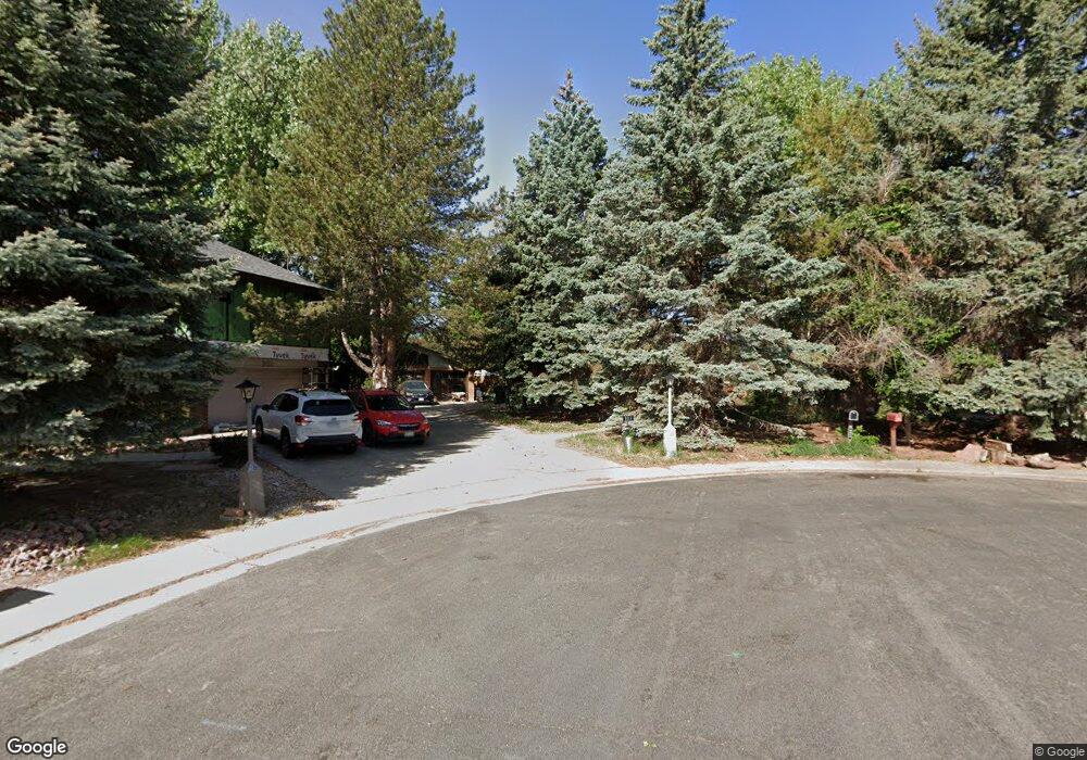
925 Dannys Ct Longmont, CO 80501
Loomiller NeighborhoodEstimated Value: $573,766 - $591,000
3
Beds
3
Baths
1,232
Sq Ft
$471/Sq Ft
Est. Value
About This Home
This home is located at 925 Dannys Ct, Longmont, CO 80501 and is currently estimated at $580,442, approximately $471 per square foot. 925 Dannys Ct is a home located in Boulder County with nearby schools including Mountain View Elementary School, Longs Peak Middle School, and Longmont High School.
Ownership History
Date
Name
Owned For
Owner Type
Purchase Details
Closed on
Dec 19, 2018
Sold by
Currie Donna
Bought by
Currie Donna B
Current Estimated Value
Purchase Details
Closed on
Aug 11, 1997
Sold by
Currie Robert J and Currie Donna M
Bought by
Currie Robert J
Home Financials for this Owner
Home Financials are based on the most recent Mortgage that was taken out on this home.
Original Mortgage
$73,000
Interest Rate
7.43%
Purchase Details
Closed on
May 6, 1997
Sold by
Sherratt Mishelle B
Bought by
Currie Robert J
Purchase Details
Closed on
Mar 12, 1997
Sold by
Sherratt Paul B
Bought by
Sherratt Mishelle B
Purchase Details
Closed on
Apr 25, 1995
Sold by
Hanson Dianne K
Bought by
Sherratt Paul B
Home Financials for this Owner
Home Financials are based on the most recent Mortgage that was taken out on this home.
Original Mortgage
$145,500
Interest Rate
8.33%
Create a Home Valuation Report for This Property
The Home Valuation Report is an in-depth analysis detailing your home's value as well as a comparison with similar homes in the area
Home Values in the Area
Average Home Value in this Area
Purchase History
| Date | Buyer | Sale Price | Title Company |
|---|---|---|---|
| Currie Donna B | -- | None Available | |
| Currie Robert J | -- | -- | |
| Currie Robert J | $182,500 | -- | |
| Sherratt Mishelle B | $4,500 | -- | |
| Sherratt Paul B | $161,700 | Commonwealth Land Title |
Source: Public Records
Mortgage History
| Date | Status | Borrower | Loan Amount |
|---|---|---|---|
| Closed | Currie Robert J | $73,000 | |
| Previous Owner | Sherratt Paul B | $145,500 |
Source: Public Records
Tax History Compared to Growth
Tax History
| Year | Tax Paid | Tax Assessment Tax Assessment Total Assessment is a certain percentage of the fair market value that is determined by local assessors to be the total taxable value of land and additions on the property. | Land | Improvement |
|---|---|---|---|---|
| 2025 | $2,673 | $34,619 | $7,031 | $27,588 |
| 2024 | $2,673 | $34,619 | $7,031 | $27,588 |
| 2023 | $2,636 | $34,639 | $7,832 | $30,492 |
| 2022 | $2,188 | $29,058 | $5,762 | $23,296 |
| 2021 | $2,913 | $29,894 | $5,927 | $23,967 |
| 2020 | $2,458 | $25,304 | $5,220 | $20,084 |
| 2019 | $2,419 | $25,304 | $5,220 | $20,084 |
| 2018 | $2,180 | $22,954 | $4,680 | $18,274 |
| 2017 | $2,151 | $25,376 | $5,174 | $20,202 |
| 2016 | $1,932 | $20,210 | $6,288 | $13,922 |
| 2015 | $1,841 | $17,847 | $5,652 | $12,195 |
| 2014 | $1,667 | $17,847 | $5,652 | $12,195 |
Source: Public Records
Map
Nearby Homes
- 931 Venice St
- 1214 9th Ave
- 818 Lincoln St
- 814 Gay St
- 1136 Venice St
- 1012 Pratt St Unit 1012
- 1217 Lincoln St
- 1019 Alta St Unit 1019
- 1209 Gay St
- 813 Vivian St
- 1247 Lincoln St
- 1202 Vivian St
- 1224 Judson St
- 402 Sherman St
- 623 Pratt St
- 1314 Venice St
- 1208 Juniper St
- 1344 Aspen Place
- 1245 Sumner St
- 1321 Judson St