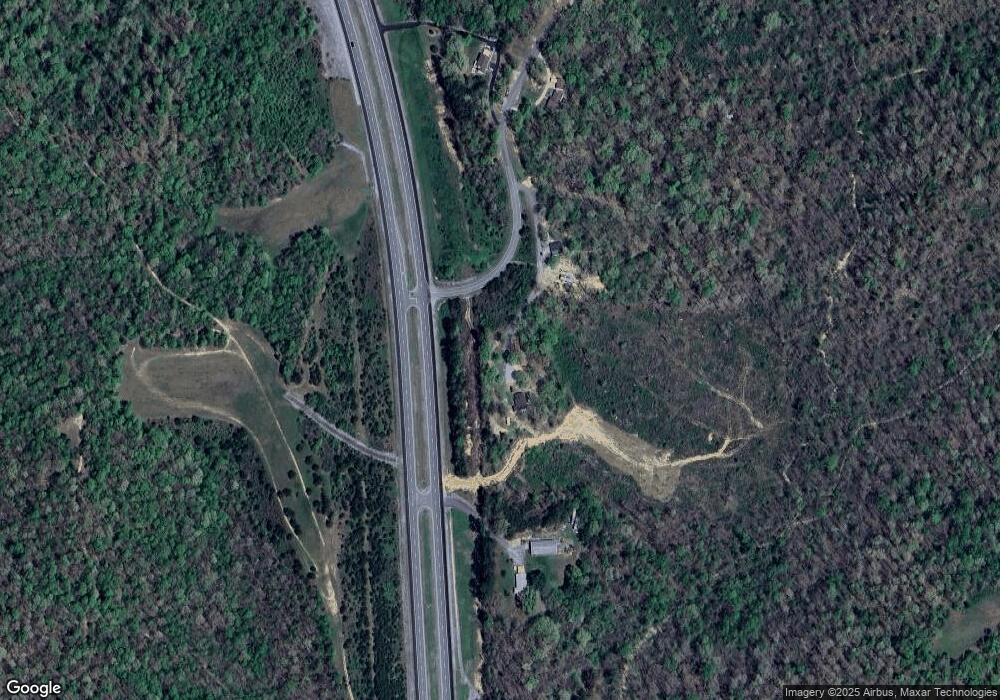
925 N Buchanan Rd Waverly, TN 37185
Estimated Value: $195,581 - $256,000
--
Bed
1
Bath
1,454
Sq Ft
$160/Sq Ft
Est. Value
About This Home
This home is located at 925 N Buchanan Rd, Waverly, TN 37185 and is currently estimated at $233,145, approximately $160 per square foot. 925 N Buchanan Rd is a home located in Humphreys County.
Ownership History
Date
Name
Owned For
Owner Type
Purchase Details
Closed on
Jul 3, 2024
Sold by
Caudle Dale A
Bought by
Caudle Ronda Dionne
Current Estimated Value
Purchase Details
Closed on
Dec 13, 2012
Sold by
Caudle Deana Rae
Bought by
Caudle Dale Allen
Purchase Details
Closed on
Feb 26, 2003
Sold by
Caudle Dale A
Bought by
State Of Tennessee
Purchase Details
Closed on
Mar 31, 1994
Bought by
Caudle Dale A and Caudle Stephanie D
Purchase Details
Closed on
Apr 1, 1987
Bought by
Blue Joseph L and Blue Jean
Create a Home Valuation Report for This Property
The Home Valuation Report is an in-depth analysis detailing your home's value as well as a comparison with similar homes in the area
Home Values in the Area
Average Home Value in this Area
Purchase History
| Date | Buyer | Sale Price | Title Company |
|---|---|---|---|
| Caudle Ronda Dionne | -- | Three Rivers Title | |
| Caudle Dale Allen | -- | -- | |
| State Of Tennessee | $5,125 | -- | |
| Caudle Dale A | $29,800 | -- | |
| Blue Joseph L | -- | -- |
Source: Public Records
Tax History Compared to Growth
Tax History
| Year | Tax Paid | Tax Assessment Tax Assessment Total Assessment is a certain percentage of the fair market value that is determined by local assessors to be the total taxable value of land and additions on the property. | Land | Improvement |
|---|---|---|---|---|
| 2025 | $847 | $46,025 | $0 | $0 |
| 2024 | $847 | $46,025 | $2,175 | $43,850 |
| 2023 | $847 | $46,025 | $2,175 | $43,850 |
| 2022 | $503 | $23,075 | $2,500 | $20,575 |
| 2021 | $503 | $23,075 | $2,500 | $20,575 |
| 2020 | $489 | $22,450 | $2,500 | $19,950 |
| 2019 | $375 | $18,450 | $2,475 | $15,975 |
| 2018 | $375 | $18,450 | $2,475 | $15,975 |
| 2017 | $375 | $18,450 | $2,475 | $15,975 |
| 2016 | $374 | $17,000 | $2,475 | $14,525 |
| 2015 | $374 | $17,000 | $2,475 | $14,525 |
| 2014 | $320 | $14,524 | $0 | $0 |
Source: Public Records
Map
Nearby Homes
- 4551 Highway 13 S
- 1270 N Buchanan Rd
- 954 S Buchanan Rd
- 1825 Highway 13 S
- 0 W Blue Creek Rd
- 695 Bucket Branch Rd
- 1640 Bucket Branch Rd
- 781 Highway 13 S
- 0 Old Skyline Dr Unit RTC3015061
- 205 Hillwood Dr
- 100 Browning St
- 205 Armstrong St
- 130 Fairground Dr
- 413 E Main St
- 126 Fairground Dr
- 202 Sunset Dr
- 117 Sunset Dr
- 116 Fairground Dr
- 0 Rustic Valley Dr Unit RTC2887773
- 0 Prince Phillip Ct Unit RTC2825233
- 3286 Tennessee 13
- 0 Highway 13 S Unit 1859784
- 0 Highway 13 S Unit 1933219
- 0 Highway 13 S Unit 1930010
- 0 Highway 13 S Unit 1928717
- 0 Highway 13 S Unit RTC2618118
- 0 Highway 13 S Unit RTC2593215
- 0 Highway 13 S Unit RTC2575442
- 0 Highway 13 S Unit RTC1779212
- 0 Highway 13 S Unit RTC1764234
- 0 Highway 13 S Unit RTC1729607
- 0 Highway 13 S Unit RTC2296029
- 0 Highway 13 S Unit 2223726
- 0 Highway 13 S Unit 2164389
- 0 Highway 13 S Unit 2076344
- 3286 Highway 13 S
- 000 Buchanan Rd
- 3390 Highway 13 S
- 325 N Buchanan Rd
- 322 N Buchanan Rd
