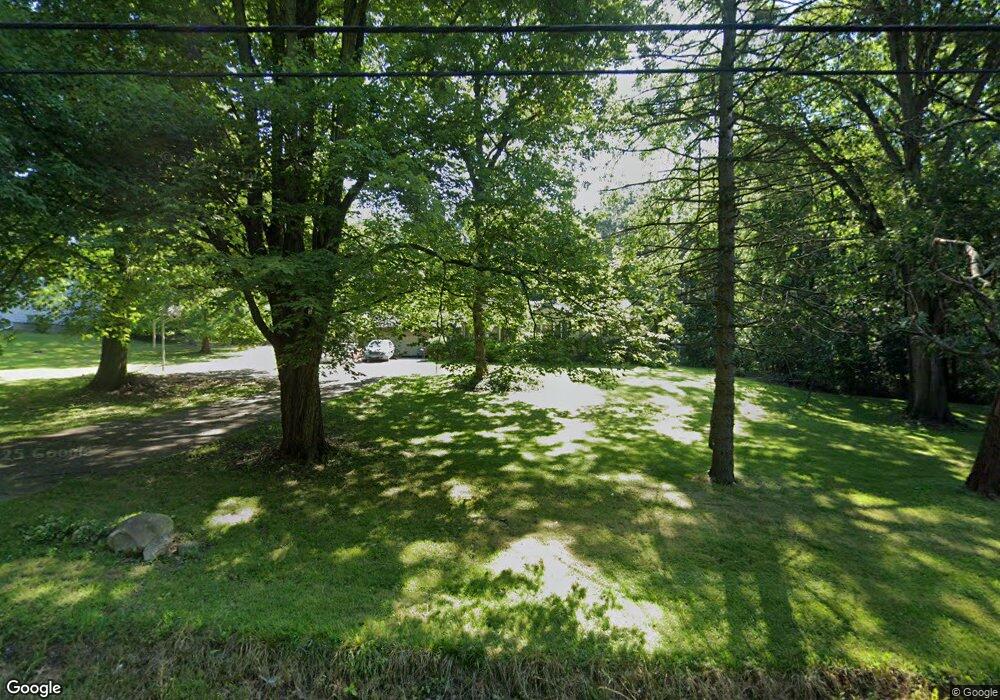
925 N Four Mile Run Rd Youngstown, OH 44515
Austintown NeighborhoodEstimated Value: $146,000 - $169,468
3
Beds
1
Bath
1,074
Sq Ft
$145/Sq Ft
Est. Value
About This Home
This home is located at 925 N Four Mile Run Rd, Youngstown, OH 44515 and is currently estimated at $155,867, approximately $145 per square foot. 925 N Four Mile Run Rd is a home located in Mahoning County with nearby schools including Austintown Elementary School, Austintown Intermediate School, and Austintown Middle School.
Ownership History
Date
Name
Owned For
Owner Type
Purchase Details
Closed on
Mar 9, 2006
Sold by
Darby M Kathleen
Bought by
Darby Allen W
Current Estimated Value
Purchase Details
Closed on
May 28, 1997
Sold by
Bruno Joyce K
Bought by
Darby Allen W and Kathleen Darby M
Home Financials for this Owner
Home Financials are based on the most recent Mortgage that was taken out on this home.
Original Mortgage
$40,000
Interest Rate
8.27%
Purchase Details
Closed on
Aug 11, 1993
Bought by
Bruno Joyce K
Create a Home Valuation Report for This Property
The Home Valuation Report is an in-depth analysis detailing your home's value as well as a comparison with similar homes in the area
Home Values in the Area
Average Home Value in this Area
Purchase History
| Date | Buyer | Sale Price | Title Company |
|---|---|---|---|
| Darby Allen W | -- | None Available | |
| Darby Allen W | $80,500 | -- | |
| Bruno Joyce K | -- | -- |
Source: Public Records
Mortgage History
| Date | Status | Borrower | Loan Amount |
|---|---|---|---|
| Previous Owner | Darby Allen W | $40,000 |
Source: Public Records
Tax History Compared to Growth
Tax History
| Year | Tax Paid | Tax Assessment Tax Assessment Total Assessment is a certain percentage of the fair market value that is determined by local assessors to be the total taxable value of land and additions on the property. | Land | Improvement |
|---|---|---|---|---|
| 2024 | $1,866 | $40,680 | $8,650 | $32,030 |
| 2023 | $1,836 | $40,680 | $8,650 | $32,030 |
| 2022 | $1,827 | $32,450 | $7,200 | $25,250 |
| 2021 | $1,828 | $32,450 | $7,200 | $25,250 |
| 2020 | $1,836 | $32,450 | $7,200 | $25,250 |
| 2019 | $1,713 | $27,560 | $7,200 | $20,360 |
| 2018 | $1,730 | $27,560 | $7,200 | $20,360 |
| 2017 | $1,645 | $27,560 | $7,200 | $20,360 |
| 2016 | $1,791 | $29,680 | $8,510 | $21,170 |
| 2015 | $1,737 | $29,680 | $8,510 | $21,170 |
| 2014 | $1,745 | $29,680 | $8,510 | $21,170 |
| 2013 | $1,726 | $29,680 | $8,510 | $21,170 |
Source: Public Records
Map
Nearby Homes
- 4028 Lanterman Rd
- 5085 Winslow Dr
- 161 N Roanoke Ave
- 1239 Woodledge Dr
- 169 Westminster Ave
- 212 N Navarre Ave
- 97 Idlewood Rd
- 107 N Roanoke Ave
- 0 W Liberty Unit 5153649
- 1757 E County Line Rd
- 4258 Mahoning Ave
- 98 N Navarre Ave
- 112 Benton St
- 5231 W Rockwell Rd
- 81 S Edgehill Ave
- 2555 Walnut St
- 102 Parkgate Ave
- 122 S Edgehill Ave
- 148 N Kimberly Ave
- 0 W Webb Rd
- 949 N Four Mile Run Rd
- 901 N Four Mile Run Rd
- 900 N Four Mile Run Rd
- 4504 E Webb Rd
- 4464 Lanterman Rd
- 4468 Lanterman Rd
- 4452 Lanterman Rd
- 4474 Lanterman Rd
- 4436 Lanterman Rd
- 4476 Lanterman Rd
- 4580 Lanterman Rd
- 4520 E Webb Rd
- 4428 Lanterman Rd
- 1041 N Four Mile Run Rd
- 4525 E Webb Rd
- 4571 Lanterman Rd
- 1004 N Four Mile Run Rd
- 4453 Lanterman Rd
- 4443 Lanterman Rd
- 4581 Lanterman Rd