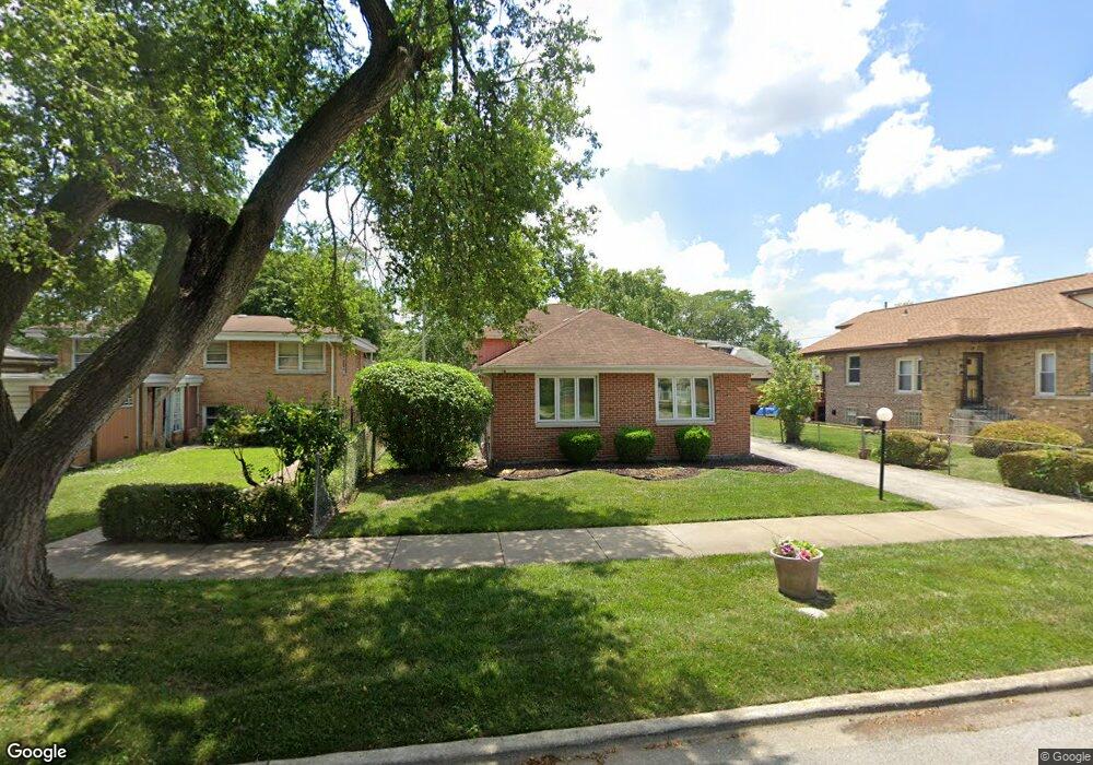
9264 S Burnside Ave Chicago, IL 60619
Roseland NeighborhoodEstimated Value: $186,040 - $213,000
3
Beds
2
Baths
1,405
Sq Ft
$144/Sq Ft
Est. Value
About This Home
This home is located at 9264 S Burnside Ave, Chicago, IL 60619 and is currently estimated at $202,010, approximately $143 per square foot. 9264 S Burnside Ave is a home located in Cook County with nearby schools including Gillespie Elementary School, Harlan Community Academy High School, and Christian S T E M Scholars.
Ownership History
Date
Name
Owned For
Owner Type
Purchase Details
Closed on
Jul 7, 2021
Sold by
Petit Pierre R and Petit Marcia M
Bought by
Petit Gregory
Current Estimated Value
Home Financials for this Owner
Home Financials are based on the most recent Mortgage that was taken out on this home.
Original Mortgage
$166,920
Outstanding Balance
$151,887
Interest Rate
3.5%
Mortgage Type
FHA
Estimated Equity
$50,123
Purchase Details
Closed on
Oct 30, 2003
Sold by
Deustsche Bank National Trust Co
Bought by
Collins Dawn M
Purchase Details
Closed on
Jan 31, 2001
Sold by
Smith Joseph J
Bought by
Smith Dawn M
Purchase Details
Closed on
May 25, 1994
Sold by
Green Franscheika E and Green Steven G
Bought by
Lee John I and Lee Mary F
Home Financials for this Owner
Home Financials are based on the most recent Mortgage that was taken out on this home.
Original Mortgage
$140,000
Interest Rate
8.53%
Mortgage Type
VA
Create a Home Valuation Report for This Property
The Home Valuation Report is an in-depth analysis detailing your home's value as well as a comparison with similar homes in the area
Home Values in the Area
Average Home Value in this Area
Purchase History
| Date | Buyer | Sale Price | Title Company |
|---|---|---|---|
| Petit Gregory | $170,000 | Attorneys Ttl Guaranty Fund | |
| Collins Dawn M | -- | 1St American Title | |
| Smith Dawn M | -- | -- | |
| Lee John I | $140,000 | -- |
Source: Public Records
Mortgage History
| Date | Status | Borrower | Loan Amount |
|---|---|---|---|
| Open | Petit Gregory | $166,920 | |
| Previous Owner | Lee John I | $140,000 |
Source: Public Records
Tax History
| Year | Tax Paid | Tax Assessment Tax Assessment Total Assessment is a certain percentage of the fair market value that is determined by local assessors to be the total taxable value of land and additions on the property. | Land | Improvement |
|---|---|---|---|---|
| 2025 | $1,444 | $10,391 | $2,344 | $8,047 |
| 2024 | $1,444 | $10,391 | $2,344 | $8,047 |
| 2023 | $1,407 | $6,844 | $3,125 | $3,719 |
| 2022 | $1,407 | $6,844 | $3,125 | $3,719 |
| 2021 | $1,041 | $6,843 | $3,125 | $3,718 |
| 2020 | $1,169 | $6,799 | $2,500 | $4,299 |
| 2019 | $1,157 | $7,472 | $2,500 | $4,972 |
| 2018 | $1,137 | $7,472 | $2,500 | $4,972 |
| 2017 | $1,616 | $9,195 | $2,187 | $7,008 |
| 2016 | $1,592 | $9,195 | $2,187 | $7,008 |
| 2015 | $1,445 | $9,195 | $2,187 | $7,008 |
| 2014 | $1,177 | $7,630 | $1,875 | $5,755 |
| 2013 | $1,149 | $7,630 | $1,875 | $5,755 |
Source: Public Records
Map
Nearby Homes
- 9300 S Vernon Ave
- 9319 S Calumet Ave
- 500 E 92nd St
- 9323 S Rhodes Ave
- 543 E 92nd St
- 9400 S Calumet Ave
- 9432 S Vernon Ave
- 543 E 91st Place
- 9150 S Burnside Ave
- 628 E 92nd Place
- 518 E 95th St
- 9456 S Calumet Ave
- 9419 S Saint Lawrence Ave
- 549 E 91st St
- 9410 S Champlain Ave
- 9418 S Champlain Ave
- 9339 S Burnside Ave
- 654 E 92nd Place
- 9020 S King Dr
- 9549 S Calumet Ave
- 9264 S Burnside Ave
- 9260 S Burnside Ave
- 436 E 93rd St
- 9258 S Burnside Ave
- 9254 S Burnside Ave
- 9259 S Burnside Ave
- 424 E 93rd St Unit 1
- 424 E 93rd St
- 438 E 93rd St
- 9252 S Burnside Ave
- 418 E 93rd St
- 418 E 93rd St
- 416 E 93rd St
- 9248 S Burnside Ave
- 444 E 93rd St
- 9301 S Vernon Ave
- 9257 South Park
- 9265 S Burnside Ave
- 9269 S Burnside Ave
- 9261 S Burnside Ave
Your Personal Tour Guide
Ask me questions while you tour the home.