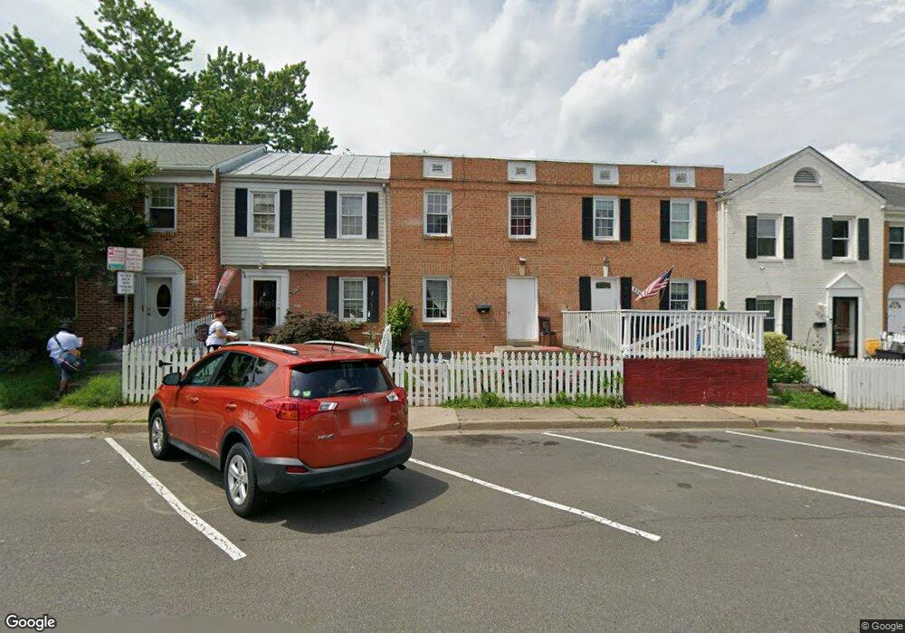
9268 Byrd Dr Manassas, VA 20110
Old Town Manassas NeighborhoodEstimated Value: $314,000 - $350,000
3
Beds
2
Baths
1,170
Sq Ft
$284/Sq Ft
Est. Value
About This Home
This home is located at 9268 Byrd Dr, Manassas, VA 20110 and is currently estimated at $331,857, approximately $283 per square foot. 9268 Byrd Dr is a home located in Manassas City with nearby schools including Jennie Dean Elementary School, Mayfield Intermediate School, and Grace E. Metz Middle School.
Ownership History
Date
Name
Owned For
Owner Type
Purchase Details
Closed on
Aug 8, 2022
Sold by
Bmc Land Llc
Bought by
9268 Byrd Llc
Current Estimated Value
Purchase Details
Closed on
Dec 1, 2020
Sold by
Mcintosh Eaheart Esther D and Eaheart Esther D
Bought by
Bmc Land Llc
Purchase Details
Closed on
Aug 25, 1994
Sold by
Sec Hud
Bought by
Eaheart Joseph C
Purchase Details
Closed on
May 11, 1994
Sold by
Mei By Tr L
Bought by
Sec Hud
Create a Home Valuation Report for This Property
The Home Valuation Report is an in-depth analysis detailing your home's value as well as a comparison with similar homes in the area
Home Values in the Area
Average Home Value in this Area
Purchase History
| Date | Buyer | Sale Price | Title Company |
|---|---|---|---|
| 9268 Byrd Llc | -- | None Listed On Document | |
| Bmc Land Llc | $120,000 | None Available | |
| Eaheart Joseph C | $30,000 | -- | |
| Sec Hud | $55,000 | -- |
Source: Public Records
Tax History
| Year | Tax Paid | Tax Assessment Tax Assessment Total Assessment is a certain percentage of the fair market value that is determined by local assessors to be the total taxable value of land and additions on the property. | Land | Improvement |
|---|---|---|---|---|
| 2025 | $4,004 | $317,800 | $82,000 | $235,800 |
| 2024 | $4,004 | $271,700 | $82,000 | $189,700 |
| 2023 | $3,149 | $249,900 | $79,000 | $170,900 |
| 2022 | $2,962 | $220,700 | $68,500 | $152,200 |
| 2021 | $2,698 | $188,800 | $61,500 | $127,300 |
| 2020 | $2,545 | $174,300 | $59,500 | $114,800 |
| 2019 | $2,429 | $164,100 | $58,000 | $106,100 |
| 2018 | $2,302 | $157,700 | $55,000 | $102,700 |
| 2017 | -- | $154,600 | $55,000 | $99,600 |
| 2016 | $2,149 | $153,200 | $0 | $0 |
| 2015 | -- | $153,200 | $55,000 | $98,200 |
| 2014 | -- | $0 | $0 | $0 |
Source: Public Records
Map
Nearby Homes
- 9278 Taney Rd
- 9715 Pickett Ln
- 9639 Grant Ave Unit HOMESITE 69
- 9715 Grant
- 9623 Grant Ave Unit HOMESITE 65
- 9635 Grant Ave Unit HOMESITE 68
- 9671 Swallowtail Ln
- 1006 Swallowtail Ln
- 9666 Swallowtail Ln
- 9664 Swallowtail Ln
- 9222 Acer Ln
- 9719 Grant Ave
- 9207 Douglas St Unit 215
- 9727 Grant Ave Unit HOMESITE 88
- 9680 Swallowtail Ln
- 9747 Grant Ave Unit HOMESITE 93
- 9458 Scarlet Oak Dr Unit J8
- 9759 Grant Ave Unit HOMESITE 96
- 9755 Grant Ave Unit HOMESITE 95
- 9204 Douglas St
Your Personal Tour Guide
Ask me questions while you tour the home.