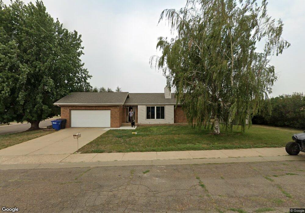
927 12th Ave E Dickinson, ND 58601
Estimated Value: $274,000 - $346,000
2
Beds
2
Baths
1,048
Sq Ft
$281/Sq Ft
Est. Value
About This Home
This home is located at 927 12th Ave E, Dickinson, ND 58601 and is currently estimated at $294,649, approximately $281 per square foot. 927 12th Ave E is a home located in Stark County with nearby schools including Trinity Catholic Schools and Trinity Elementary School East.
Ownership History
Date
Name
Owned For
Owner Type
Purchase Details
Closed on
Jan 20, 2022
Sold by
Witte and Leslie
Bought by
Hartman Lynn E
Current Estimated Value
Home Financials for this Owner
Home Financials are based on the most recent Mortgage that was taken out on this home.
Original Mortgage
$42,000
Outstanding Balance
$32,037
Interest Rate
2.43%
Mortgage Type
New Conventional
Estimated Equity
$262,612
Create a Home Valuation Report for This Property
The Home Valuation Report is an in-depth analysis detailing your home's value as well as a comparison with similar homes in the area
Home Values in the Area
Average Home Value in this Area
Purchase History
| Date | Buyer | Sale Price | Title Company |
|---|---|---|---|
| Hartman Lynn E | -- | North Dakota Guaranty Title |
Source: Public Records
Mortgage History
| Date | Status | Borrower | Loan Amount |
|---|---|---|---|
| Open | Hartman Lynn E | $42,000 |
Source: Public Records
Tax History
| Year | Tax Paid | Tax Assessment Tax Assessment Total Assessment is a certain percentage of the fair market value that is determined by local assessors to be the total taxable value of land and additions on the property. | Land | Improvement |
|---|---|---|---|---|
| 2025 | $992 | $207,400 | $31,400 | $176,000 |
| 2024 | $2,058 | $207,400 | $31,400 | $176,000 |
| 2023 | $2,046 | $207,400 | $31,400 | $176,000 |
| 2022 | $1,826 | $91,750 | $0 | $0 |
| 2021 | $1,788 | $173,800 | $31,400 | $142,400 |
| 2020 | $1,812 | $173,800 | $31,400 | $142,400 |
| 2019 | $1,818 | $173,800 | $31,400 | $142,400 |
| 2017 | $1,695 | $180,900 | $31,400 | $149,500 |
| 2015 | $1,695 | $193,600 | $30,700 | $162,900 |
| 2014 | $1,771 | $187,300 | $30,700 | $156,600 |
| 2013 | -- | $181,000 | $30,700 | $150,300 |
Source: Public Records
Map
Nearby Homes
- 1189 Franklin St
- 926 12th Ave E
- 930 12th Ave E
- 920 12th Ave E
- 913 12th Ave E
- 1182 Franklin St
- 1170 Franklin St
- 1167 Franklin St
- 910 12th Ave E
- 927 13th Ave E
- 917 13th Ave E
- 903 12th Ave E
- 1156 Franklin St
- 1144 Franklin St
- 1179 9th St E
- E 9th St E
- 1243 9th St E
- 1167 9th St E
- 1145 Franklin St
- 1275 9th St E
Your Personal Tour Guide
Ask me questions while you tour the home.