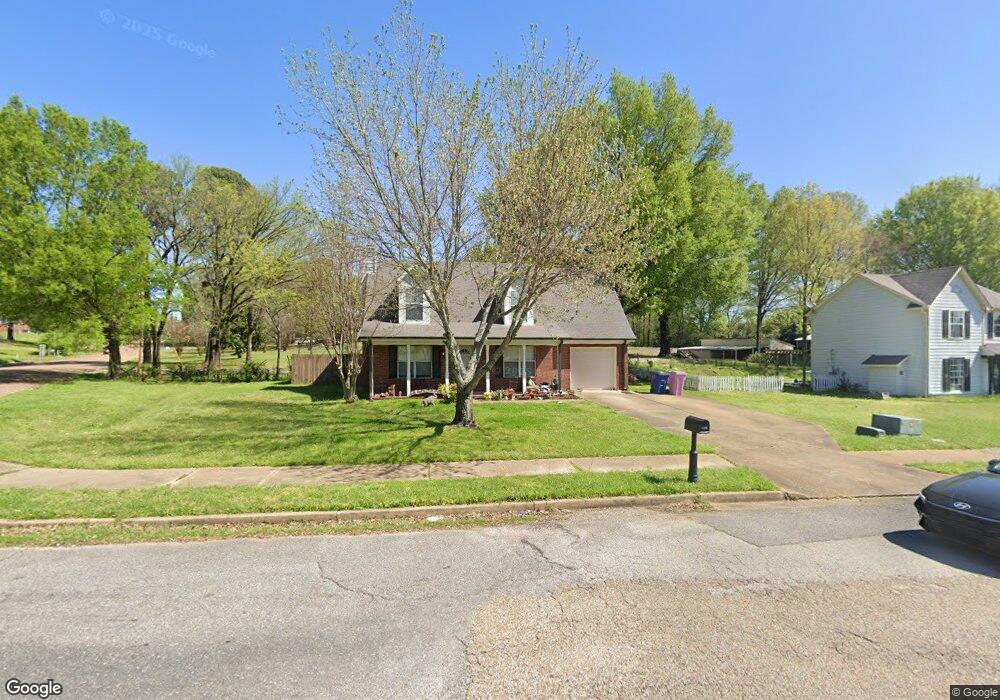
9270 Brooks Dr Olive Branch, MS 38654
Estimated Value: $204,000 - $227,000
2
Beds
2
Baths
1,378
Sq Ft
$158/Sq Ft
Est. Value
About This Home
This home is located at 9270 Brooks Dr, Olive Branch, MS 38654 and is currently estimated at $217,322, approximately $157 per square foot. 9270 Brooks Dr is a home located in DeSoto County with nearby schools including Olive Branch Elementary School, Chickasaw Elementary School, and Olive Branch Middle School.
Ownership History
Date
Name
Owned For
Owner Type
Purchase Details
Closed on
Apr 1, 2010
Sold by
Secretary Of Housing & Urban Development
Bought by
Harrigan Annmarie
Current Estimated Value
Purchase Details
Closed on
Mar 31, 2009
Sold by
Crain Tiffany W
Bought by
Crain John Edward
Create a Home Valuation Report for This Property
The Home Valuation Report is an in-depth analysis detailing your home's value as well as a comparison with similar homes in the area
Home Values in the Area
Average Home Value in this Area
Purchase History
| Date | Buyer | Sale Price | Title Company |
|---|---|---|---|
| Harrigan Annmarie | -- | None Available | |
| Crain John Edward | -- | None Available |
Source: Public Records
Tax History Compared to Growth
Tax History
| Year | Tax Paid | Tax Assessment Tax Assessment Total Assessment is a certain percentage of the fair market value that is determined by local assessors to be the total taxable value of land and additions on the property. | Land | Improvement |
|---|---|---|---|---|
| 2024 | $808 | $8,120 | $1,500 | $6,620 |
| 2023 | $808 | $8,120 | $0 | $0 |
| 2022 | $808 | $8,120 | $1,500 | $6,620 |
| 2021 | $808 | $8,120 | $1,500 | $6,620 |
| 2020 | $732 | $7,564 | $1,500 | $6,064 |
| 2019 | $732 | $7,564 | $1,500 | $6,064 |
| 2017 | $1,302 | $13,246 | $7,373 | $5,873 |
| 2016 | $1,012 | $7,373 | $1,500 | $5,873 |
| 2015 | $1,012 | $13,246 | $7,373 | $5,873 |
| 2014 | $756 | $7,700 | $0 | $0 |
| 2013 | $726 | $7,700 | $0 | $0 |
Source: Public Records
Map
Nearby Homes
- 5295 Blocker St
- 9113 Rue Orleans Ln
- 6180 Rd
- 6748 Cockrum Rd
- 5841 Blocker St
- 9270 College St
- 0 Caroma Unit 10199426
- 0 Caroma Unit 4006992
- 0 Mid Dr S Unit 4100819
- 5648 Blocker St
- 9800 Cherokee Dr
- 9759 Pigeon Roost Park Cir
- 6041 Allen Pkwy W
- 9821 Morgan Manor Dr
- 8911 Oak Branch Ln
- 8897 Parkview Oaks Cir
- 8817 Parkview Oaks Cir
- 8748 Purple Martin Dr
- 9919 Adina Cove
- 5619 Eagleston Dr
- 9284 Brooks Dr
- 6135 Blocker St
- 9296 Brooks Cove
- 9296 Brooks Dr
- 6149 Blocker St
- 6165 Blocker St
- 6109 Blocker St
- 6400 Blocker St
- 5 Blocker St
- 6088 Blocker St
- 6097 Brooks Cove
- 6095 Blocker St
- 0 Brooks Cove Unit 2207132
- 0 Brooks Cove Unit Lot 190
- 0 Brooks Cove Unit Lot 186
- 9314 Brooks Dr
- 6136 Shadow Oaks Cove N
- 6177 Blocker St
- 6150 Shadow Oaks Cove N