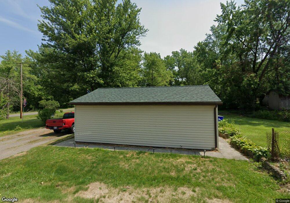
9270 Price Rd Ravenna, OH 44266
Estimated Value: $154,000 - $163,000
3
Beds
1
Bath
864
Sq Ft
$184/Sq Ft
Est. Value
About This Home
This home is located at 9270 Price Rd, Ravenna, OH 44266 and is currently estimated at $159,035, approximately $184 per square foot. 9270 Price Rd is a home located in Portage County with nearby schools including Crestwood Primary School, Crestwood Intermediate School, and Crestwood Middle School.
Ownership History
Date
Name
Owned For
Owner Type
Purchase Details
Closed on
Dec 27, 2019
Sold by
Vance Fanny Sue and Browning Steven A
Bought by
Vance Fanny Sue and Browning Steven A
Current Estimated Value
Home Financials for this Owner
Home Financials are based on the most recent Mortgage that was taken out on this home.
Original Mortgage
$84,706
Outstanding Balance
$75,227
Interest Rate
3.87%
Mortgage Type
FHA
Estimated Equity
$83,808
Purchase Details
Closed on
Jul 15, 1986
Bought by
Vance Fannie Sue Aka
Create a Home Valuation Report for This Property
The Home Valuation Report is an in-depth analysis detailing your home's value as well as a comparison with similar homes in the area
Home Values in the Area
Average Home Value in this Area
Purchase History
| Date | Buyer | Sale Price | Title Company |
|---|---|---|---|
| Vance Fanny Sue | -- | None Available | |
| Vance Fannie Sue Aka | $37,100 | -- |
Source: Public Records
Mortgage History
| Date | Status | Borrower | Loan Amount |
|---|---|---|---|
| Open | Vance Fanny Sue | $84,706 |
Source: Public Records
Tax History Compared to Growth
Tax History
| Year | Tax Paid | Tax Assessment Tax Assessment Total Assessment is a certain percentage of the fair market value that is determined by local assessors to be the total taxable value of land and additions on the property. | Land | Improvement |
|---|---|---|---|---|
| 2024 | $1,173 | $40,540 | $8,860 | $31,680 |
| 2023 | $1,106 | $35,640 | $8,860 | $26,780 |
| 2022 | $1,122 | $35,640 | $8,860 | $26,780 |
| 2021 | $1,118 | $35,640 | $8,860 | $26,780 |
| 2020 | $833 | $27,450 | $8,860 | $18,590 |
| 2019 | $811 | $27,450 | $8,860 | $18,590 |
| 2018 | $794 | $27,020 | $9,730 | $17,290 |
| 2017 | $794 | $27,020 | $9,730 | $17,290 |
| 2016 | $790 | $27,020 | $9,730 | $17,290 |
| 2015 | $792 | $27,020 | $9,730 | $17,290 |
| 2014 | $817 | $27,020 | $9,730 | $17,290 |
| 2013 | $804 | $27,020 | $9,730 | $17,290 |
Source: Public Records
Map
Nearby Homes
- 2887 Shelly Rd
- 3070 Polly Rd
- 9416 Kieffer Rd
- 9329 Infirmary Rd Unit B1
- 9905 Creekside Way
- 2785 Fairfax St
- 10306 Winthrop Rd
- 2653 Fairfax St
- 1966 Summers Ave
- 10389 Wentworth Rd
- 9741 Eagle Ln Unit 9741
- V/L State Route 14
- 1735 Pike Pkwy
- 9324 Briar Dr
- 8291 State Route 14
- 1648 Maple View Ct
- 1678 Duncan Way
- 1543 Manfrass Dr
- 9088 State Route 14
- 1863 Dunlap Dr