9276 Compass Pointe Cir Saint Paul, MN 55129
Estimated Value: $631,000 - $694,000
4
Beds
3
Baths
2,967
Sq Ft
$224/Sq Ft
Est. Value
About This Home
This home is located at 9276 Compass Pointe Cir, Saint Paul, MN 55129 and is currently estimated at $663,246, approximately $223 per square foot. 9276 Compass Pointe Cir is a home with nearby schools including Gordon Bailey Elementary School, Oltman Middle School, and East Ridge High School.
Ownership History
Date
Name
Owned For
Owner Type
Purchase Details
Closed on
Mar 31, 2016
Sold by
Pulte Homes Of Minnesota Llc
Bought by
Elmasry Nicole M and Elmasry Tamer M
Current Estimated Value
Home Financials for this Owner
Home Financials are based on the most recent Mortgage that was taken out on this home.
Original Mortgage
$315,000
Outstanding Balance
$250,002
Interest Rate
3.65%
Mortgage Type
New Conventional
Estimated Equity
$413,244
Create a Home Valuation Report for This Property
The Home Valuation Report is an in-depth analysis detailing your home's value as well as a comparison with similar homes in the area
Home Values in the Area
Average Home Value in this Area
Purchase History
| Date | Buyer | Sale Price | Title Company |
|---|---|---|---|
| Elmasry Nicole M | $463,109 | Pgp Title Inc |
Source: Public Records
Mortgage History
| Date | Status | Borrower | Loan Amount |
|---|---|---|---|
| Open | Elmasry Nicole M | $315,000 |
Source: Public Records
Tax History Compared to Growth
Tax History
| Year | Tax Paid | Tax Assessment Tax Assessment Total Assessment is a certain percentage of the fair market value that is determined by local assessors to be the total taxable value of land and additions on the property. | Land | Improvement |
|---|---|---|---|---|
| 2024 | $7,808 | $616,800 | $160,000 | $456,800 |
| 2023 | $7,808 | $641,100 | $180,000 | $461,100 |
| 2022 | $6,664 | $594,300 | $162,000 | $432,300 |
| 2021 | $6,422 | $499,000 | $135,000 | $364,000 |
| 2020 | $6,546 | $486,100 | $135,000 | $351,100 |
| 2019 | $6,460 | $485,500 | $125,000 | $360,500 |
| 2018 | $6,460 | $462,400 | $125,000 | $337,400 |
| 2017 | $1,806 | $456,000 | $120,000 | $336,000 |
| 2016 | $1,574 | $146,100 | $110,000 | $36,100 |
| 2015 | $656 | $40,000 | $40,000 | $0 |
| 2013 | -- | $15,000 | $15,000 | $0 |
Source: Public Records
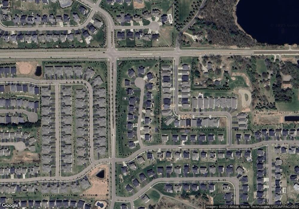
Map
Nearby Homes
- The Somerset 3 Plan at The Villas at Summerhill Woodbury
- The Somerset 2 Plan at The Villas at Summerhill Woodbury
- The Somerset 2B Plan at The Villas at Summerhill Woodbury
- The Somerset 1 Plan at The Villas at Summerhill Woodbury
- The Somerset 4 Plan at The Villas at Summerhill Woodbury
- 5054 Dale Ridge Rd
- 5035 Dale Ridge Rd
- 4983 Sunflower Dr
- 9125 Compass Pointe Rd
- 5204 Porchlight Dr
- 5174 Sundial Ln
- 5234 Sundial Ln
- 8866 Periwinkle Blvd
- 9612 Iron Horse Rd
- 5177 Windlass Dr
- 5204 Windlass Dr
- 5237 Windlass Dr
- 4764 Ashton Curve
- Snelling Plan at Westwind - Landmark Collection
- Washburn Plan at Westwind - Landmark Collection
- 9278 Compass Pointe Cir
- 9274 Compass Pointe Cir
- 5038 Dale Ridge Rd
- 5034 Dale Ridge Rd
- 9272 Compass Pointe Cir
- 9272 Compass Pointe Cir
- 9272 Compass Pointe Cir
- 5042 Dale Ridge Rd
- 9280 Compass Pointe Cir
- 9260 Compass Pointe Cir
- 5026 Dale Ridge Rd
- 9282 9282 Compass Pointe Cir
- 9017 Compass Pointe Cir
- 9260 Compass Pointe Cir
- 5046 Dale Ridge Rd
- 9258 Compass Pointe Cir
- 5022 Dale Ridge Rd
- 9282 Compass Pointe Cir
- 5018 Dale Ridge Rd
- 9262 Compass Pointe Cir