9276 Redman Ln Redding, CA 96001
Centerville NeighborhoodEstimated Value: $342,038 - $404,000
3
Beds
2
Baths
1,375
Sq Ft
$264/Sq Ft
Est. Value
About This Home
This home is located at 9276 Redman Ln, Redding, CA 96001 and is currently estimated at $363,260, approximately $264 per square foot. 9276 Redman Ln is a home located in Shasta County with nearby schools including Grant Elementary School, Shasta High School, and University Preparatory.
Ownership History
Date
Name
Owned For
Owner Type
Purchase Details
Closed on
Sep 5, 2024
Sold by
Barnes John W
Bought by
Johnny Wayne Barnes 2024 Revocable Trust and Barnes
Current Estimated Value
Purchase Details
Closed on
Feb 13, 2001
Sold by
Graves Helen M
Bought by
Barnes John W
Home Financials for this Owner
Home Financials are based on the most recent Mortgage that was taken out on this home.
Original Mortgage
$75,000
Interest Rate
6.89%
Create a Home Valuation Report for This Property
The Home Valuation Report is an in-depth analysis detailing your home's value as well as a comparison with similar homes in the area
Home Values in the Area
Average Home Value in this Area
Purchase History
| Date | Buyer | Sale Price | Title Company |
|---|---|---|---|
| Johnny Wayne Barnes 2024 Revocable Trust | -- | None Listed On Document | |
| Barnes John W | $121,000 | Alliance Title Company |
Source: Public Records
Mortgage History
| Date | Status | Borrower | Loan Amount |
|---|---|---|---|
| Previous Owner | Barnes John W | $75,000 |
Source: Public Records
Tax History
| Year | Tax Paid | Tax Assessment Tax Assessment Total Assessment is a certain percentage of the fair market value that is determined by local assessors to be the total taxable value of land and additions on the property. | Land | Improvement |
|---|---|---|---|---|
| 2025 | $2,236 | $213,730 | $45,191 | $168,539 |
| 2024 | $2,196 | $209,540 | $44,305 | $165,235 |
| 2023 | $2,196 | $205,433 | $43,437 | $161,996 |
| 2022 | $2,139 | $201,406 | $42,586 | $158,820 |
| 2021 | $2,095 | $197,457 | $41,751 | $155,706 |
| 2020 | $2,192 | $195,433 | $41,323 | $154,110 |
| 2019 | $2,096 | $191,602 | $40,513 | $151,089 |
| 2018 | $2,205 | $187,846 | $39,719 | $148,127 |
| 2017 | $2,030 | $184,164 | $38,941 | $145,223 |
| 2016 | $1,813 | $165,000 | $50,000 | $115,000 |
| 2015 | $1,812 | $165,000 | $50,000 | $115,000 |
| 2014 | $1,822 | $165,000 | $50,000 | $115,000 |
Source: Public Records
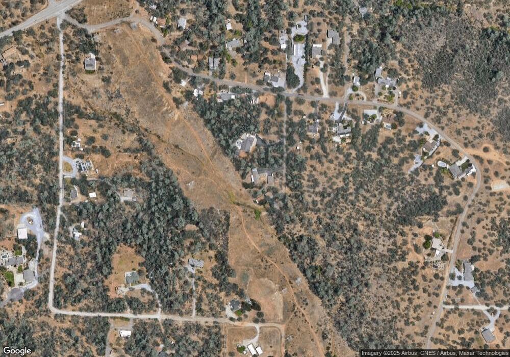
Map
Nearby Homes
- 9329 Irish Creek Ln
- 0 Chaparral Dr
- 9472 Chaparral Dr
- 16755 Thompson Ln
- 0 Thompson Ln
- 9380 Placer Rd
- 9246 Chaparral Dr
- 4174 Winter Green Ct
- 16520 Blarney Ln
- 4165 Sunglow Dr
- 16928 Campo Calle
- 0 Rd
- 0 Lot 3 Silver King
- 4268 Boston Ave
- 4550 Placer Rd
- 4519 Nantucket Dr
- 16322 Towerview Cir
- 2242 Everest Dr
- 0 Rattlesnake Dr
- 4125 Sunglow Dr
- 9268 Redman Ln
- 9302 Redman Ln
- 16595 Power Line Rd
- 0 Redman Ln
- 16649 Power Line Rd
- 16604 Power Line Rd
- 16573 Power Line Rd
- 9189 Irish Creek Ln
- 0 Powerline
- 16582 Power Line Rd
- 16608 Power Line Rd
- 9173 Irish Creek Ln
- 16624 Power Line Rd
- 16652 Power Line Rd
- 16590 Power Line Rd
- 16556 Power Line Rd
- 16665 Power Line Rd
- 16632 Power Line Rd
- 16666 Power Line Rd
- 16640 Power Line Rd
Your Personal Tour Guide
Ask me questions while you tour the home.