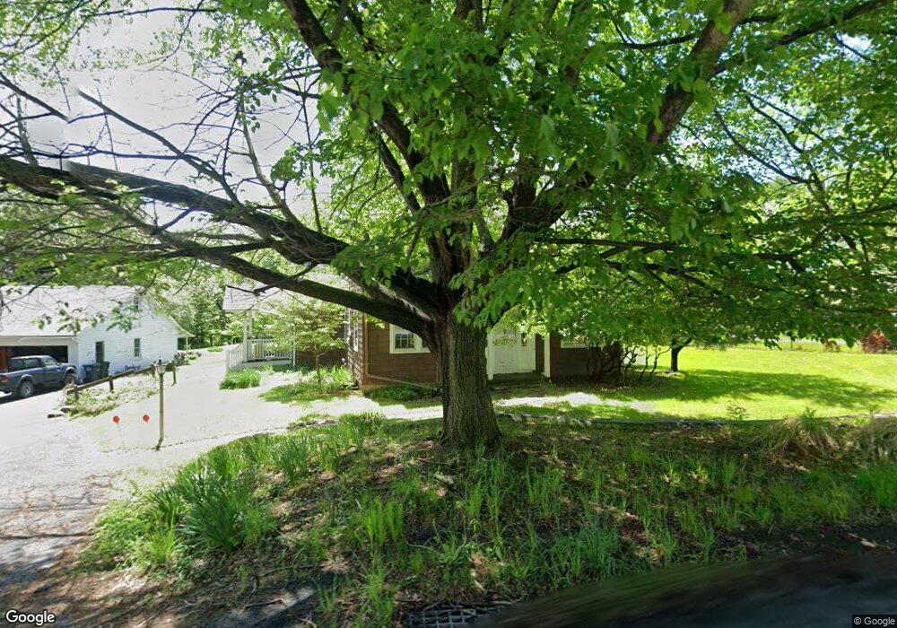
9279 State Route 97 Callicoon, NY 12723
Estimated Value: $352,000 - $443,000
3
Beds
3
Baths
1,896
Sq Ft
$215/Sq Ft
Est. Value
About This Home
This home is located at 9279 State Route 97, Callicoon, NY 12723 and is currently estimated at $407,043, approximately $214 per square foot. 9279 State Route 97 is a home with nearby schools including Sullivan West Elementary School and Sullivan West High School at Lake Huntington.
Ownership History
Date
Name
Owned For
Owner Type
Purchase Details
Closed on
Oct 14, 2016
Sold by
Zwadlo Sue R
Bought by
Chlypavka Barry
Current Estimated Value
Home Financials for this Owner
Home Financials are based on the most recent Mortgage that was taken out on this home.
Original Mortgage
$100,000
Outstanding Balance
$63,858
Interest Rate
3.5%
Mortgage Type
Purchase Money Mortgage
Estimated Equity
$343,185
Purchase Details
Closed on
Sep 27, 2012
Sold by
Curtis Mary E
Bought by
Zwadlo James R
Create a Home Valuation Report for This Property
The Home Valuation Report is an in-depth analysis detailing your home's value as well as a comparison with similar homes in the area
Home Values in the Area
Average Home Value in this Area
Purchase History
| Date | Buyer | Sale Price | Title Company |
|---|---|---|---|
| Chlypavka Barry | $143,500 | Frances S. Clemente | |
| Zwadlo James R | $134,000 | Frances S Clemente |
Source: Public Records
Mortgage History
| Date | Status | Borrower | Loan Amount |
|---|---|---|---|
| Open | Chlypavka Barry | $100,000 |
Source: Public Records
Tax History Compared to Growth
Tax History
| Year | Tax Paid | Tax Assessment Tax Assessment Total Assessment is a certain percentage of the fair market value that is determined by local assessors to be the total taxable value of land and additions on the property. | Land | Improvement |
|---|---|---|---|---|
| 2024 | $5,513 | $143,500 | $25,800 | $117,700 |
| 2023 | $5,539 | $143,500 | $25,800 | $117,700 |
| 2022 | $5,603 | $143,500 | $25,800 | $117,700 |
| 2021 | $5,335 | $143,500 | $25,800 | $117,700 |
| 2020 | $5,256 | $143,500 | $25,800 | $117,700 |
| 2019 | $5,146 | $143,500 | $25,800 | $117,700 |
| 2018 | $5,198 | $143,500 | $25,800 | $117,700 |
| 2017 | $5,146 | $143,500 | $25,800 | $117,700 |
| 2016 | $3,519 | $107,300 | $25,100 | $82,200 |
| 2015 | -- | $95,000 | $16,600 | $78,400 |
| 2014 | -- | $95,000 | $16,600 | $78,400 |
Source: Public Records
Map
Nearby Homes
- 12 Highview Ave
- 21 Mitchell Ave
- 48 Upper Main St
- 55 Upper Main St
- 2585 River Rd
- 2547 River Rd
- 9478 State Route 97
- 118 Froehlich Dr
- 9568 State Route 97
- 33 Syloro Ln
- 4261 State Route 17b
- 4260 State Route 17b
- 000 Kautz Rd
- Lot 7 Long Farm Way
- 168 Cr 94
- Lot 3 Long Farm Way
- 215 Kautz Rd
- 136 Kautz Rd
- Lot 23 Serenity Dr
- 582 N Branch Hortonville Rd
- 9279 New York 97
- 9283 State Route 97
- 9280 State Route 97
- 7 Highview Ave
- 9278 State Route 97
- 9282 State Route 97
- 9275 State Route 97
- 9276 State Route 97
- 12 Seminary Rd
- 11 Highview Ave
- 4 Highview Ave
- 9272 State Route 97
- 9286 New York 97
- 9288 State Route 97
- 9291 State Route 97
- 5600 State Route 52
- 9264 State Route 97
- 25 Mitchell Ave
- 18 Mill St Unit 2
- 18 Mill St