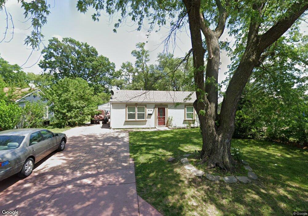
928 S Troost St Olathe, KS 66061
Estimated Value: $246,000 - $275,000
3
Beds
1
Bath
1,360
Sq Ft
$192/Sq Ft
Est. Value
About This Home
This home is located at 928 S Troost St, Olathe, KS 66061 and is currently estimated at $261,537, approximately $192 per square foot. 928 S Troost St is a home located in Johnson County with nearby schools including Westview Elementary School, Oregon Trail Middle School, and Olathe West High School.
Ownership History
Date
Name
Owned For
Owner Type
Purchase Details
Closed on
Sep 13, 2021
Sold by
Ortiz Garcia Paulino and Ortiz Andrea
Bought by
Rosales Jeronimo Barrios and Calbillo Maria G
Current Estimated Value
Purchase Details
Closed on
Jul 13, 2012
Sold by
Ortiz Garcia Paulino
Bought by
Ortiz Garcia Paulino and Ortiz Andrea
Home Financials for this Owner
Home Financials are based on the most recent Mortgage that was taken out on this home.
Original Mortgage
$112,500
Interest Rate
3.68%
Mortgage Type
New Conventional
Create a Home Valuation Report for This Property
The Home Valuation Report is an in-depth analysis detailing your home's value as well as a comparison with similar homes in the area
Home Values in the Area
Average Home Value in this Area
Purchase History
| Date | Buyer | Sale Price | Title Company |
|---|---|---|---|
| Rosales Jeronimo Barrios | -- | None Available | |
| Ortiz Garcia Paulino | -- | First American Els |
Source: Public Records
Mortgage History
| Date | Status | Borrower | Loan Amount |
|---|---|---|---|
| Previous Owner | Ortiz Garcia Paulino | $112,500 |
Source: Public Records
Tax History Compared to Growth
Tax History
| Year | Tax Paid | Tax Assessment Tax Assessment Total Assessment is a certain percentage of the fair market value that is determined by local assessors to be the total taxable value of land and additions on the property. | Land | Improvement |
|---|---|---|---|---|
| 2024 | $2,859 | $26,036 | $3,877 | $22,159 |
| 2023 | $2,763 | $24,438 | $3,877 | $20,561 |
| 2022 | $2,616 | $22,506 | $3,526 | $18,980 |
| 2021 | $2,671 | $21,735 | $3,205 | $18,530 |
| 2020 | $2,700 | $21,769 | $2,915 | $18,854 |
| 2019 | $2,500 | $20,044 | $2,532 | $17,512 |
| 2018 | $2,348 | $18,710 | $2,301 | $16,409 |
| 2017 | $2,156 | $17,031 | $2,301 | $14,730 |
| 2016 | $2,059 | $16,686 | $2,301 | $14,385 |
| 2015 | $2,154 | $17,445 | $2,301 | $15,144 |
| 2013 | -- | $15,709 | $2,096 | $13,613 |
Source: Public Records
Map
Nearby Homes
- 812 S Troost St
- 617 S Grant St
- 1106 W Sheridan St
- 1200 W Sheridan St
- 706 S Kansas Ave
- 600 W Elm St
- 721 S Chestnut St
- 573 W Loula St
- 531 S Oscar St
- 109 E Cedar St
- 507 W Park St
- 335 S Water St
- 515 E Sheridan St
- 401 S Harrison St
- 1604 W Cedar St
- 321 S Wabash Cir
- 1545 W Park St
- 1947 W Oak St
- 233 S Chambery Dr
- 1952 W Ferrel Dr
- 924 S Troost St
- 932 S Troost St
- 925 S Weaver St
- 920 S Troost St
- 921 S Weaver St
- 929 S Weaver St
- 927 S Edgemere Dr
- 917 S Weaver St
- 916 S Troost St
- 925 S Edgemere Dr
- 919 S Troost St
- 913 S Weaver St
- 912 S Troost St
- 708 W Dennis Ave
- 18835 S Weaver St
- 18934 S Weaver St
- 18842 S Weaver St
- 709 W Poor St
- 923 S Edgemere Dr
- 909 S Weaver St