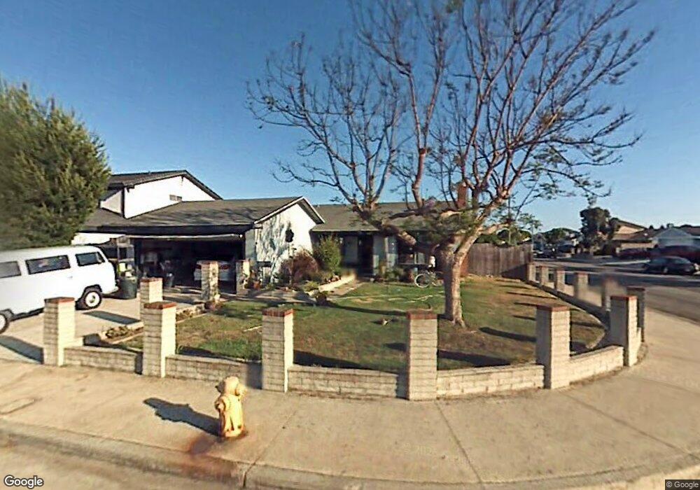
9282 Comstock Dr Huntington Beach, CA 92646
Southeast NeighborhoodEstimated Value: $1,295,875 - $1,427,000
3
Beds
2
Baths
1,522
Sq Ft
$906/Sq Ft
Est. Value
About This Home
This home is located at 9282 Comstock Dr, Huntington Beach, CA 92646 and is currently estimated at $1,378,219, approximately $905 per square foot. 9282 Comstock Dr is a home located in Orange County with nearby schools including Ralph E. Hawes Elementary School, Isaac L. Sowers Middle School, and Edison High School.
Ownership History
Date
Name
Owned For
Owner Type
Purchase Details
Closed on
Oct 19, 1998
Sold by
Marcelino Carabajal
Bought by
Carabajal Marcelino
Current Estimated Value
Home Financials for this Owner
Home Financials are based on the most recent Mortgage that was taken out on this home.
Original Mortgage
$100,500
Interest Rate
6.71%
Create a Home Valuation Report for This Property
The Home Valuation Report is an in-depth analysis detailing your home's value as well as a comparison with similar homes in the area
Home Values in the Area
Average Home Value in this Area
Purchase History
| Date | Buyer | Sale Price | Title Company |
|---|---|---|---|
| Carabajal Marcelino | -- | Fidelity National Title Ins |
Source: Public Records
Mortgage History
| Date | Status | Borrower | Loan Amount |
|---|---|---|---|
| Closed | Carabajal Marcelino | $100,500 |
Source: Public Records
Tax History Compared to Growth
Tax History
| Year | Tax Paid | Tax Assessment Tax Assessment Total Assessment is a certain percentage of the fair market value that is determined by local assessors to be the total taxable value of land and additions on the property. | Land | Improvement |
|---|---|---|---|---|
| 2025 | $1,878 | $137,492 | $64,953 | $72,539 |
| 2024 | $1,878 | $134,797 | $63,680 | $71,117 |
| 2023 | $1,832 | $132,154 | $62,431 | $69,723 |
| 2022 | $1,783 | $129,563 | $61,207 | $68,356 |
| 2021 | $1,752 | $127,023 | $60,007 | $67,016 |
| 2020 | $1,740 | $125,721 | $59,392 | $66,329 |
| 2019 | $1,722 | $123,256 | $58,227 | $65,029 |
| 2018 | $1,697 | $120,840 | $57,086 | $63,754 |
| 2017 | $1,674 | $118,471 | $55,967 | $62,504 |
| 2016 | $1,610 | $116,149 | $54,870 | $61,279 |
| 2015 | $1,592 | $114,405 | $54,046 | $60,359 |
| 2014 | $1,559 | $112,164 | $52,987 | $59,177 |
Source: Public Records
Map
Nearby Homes
- 20862 Lancelot Ln
- 9221 Belcaro Dr
- 9001 Oceanwood Dr
- 21221 Hillsdale Ln
- 8932 Amador Cir Unit 1309B
- 9581 Chevy Chase Dr
- 8856 Sutter Cir Unit 522A
- 8788 Coral Springs Ct Unit 203
- 8856 526C Sutter
- 21211 Poston Ln
- 8886 Plumas Cir Unit 1124-A
- 21361 Lemontree Ln
- 8646 Butte Cir Unit 607E
- 9802 Effingham Dr
- 9812 La Cresta Cir
- 9171 Regatta Dr
- 21382 Lemontree Ln
- 20258 Lantana Dr
- 9522 Yellowstone Dr
- 8633 Portola Ct Unit 18G
- 9292 Comstock Dr
- 9291 Westcliff Dr
- 9301 Westcliff Dr
- 9302 Comstock Dr
- 20881 Charwood Ln
- 20891 Charwood Ln
- 20871 Charwood Ln
- 9281 Comstock Dr
- 9311 Westcliff Dr
- 9291 Comstock Dr
- 20901 Charwood Ln
- 9312 Comstock Dr
- 20861 Charwood Ln
- 9301 Comstock Dr
- 9321 Westcliff Dr
- 20911 Charwood Ln
- 20831 Charwood Ln
- 9311 Comstock Dr
- 9322 Comstock Dr
- 9252 Winterwood Cir