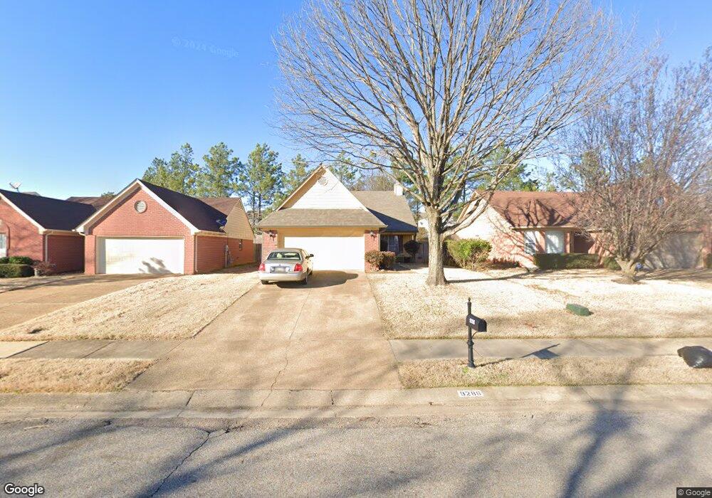
9288 Huron Dr Olive Branch, MS 38654
Estimated Value: $241,000 - $254,000
2
Beds
2
Baths
1,253
Sq Ft
$196/Sq Ft
Est. Value
About This Home
This home is located at 9288 Huron Dr, Olive Branch, MS 38654 and is currently estimated at $245,453, approximately $195 per square foot. 9288 Huron Dr is a home located in DeSoto County with nearby schools including Overpark Elementary School, Center Hill High School, and Desoto Christian Academy.
Ownership History
Date
Name
Owned For
Owner Type
Purchase Details
Closed on
Nov 17, 2009
Sold by
Secretary Of Veterans Affairs
Bought by
Miller Vanessa
Current Estimated Value
Home Financials for this Owner
Home Financials are based on the most recent Mortgage that was taken out on this home.
Original Mortgage
$86,307
Outstanding Balance
$55,926
Interest Rate
5.01%
Mortgage Type
FHA
Estimated Equity
$189,527
Create a Home Valuation Report for This Property
The Home Valuation Report is an in-depth analysis detailing your home's value as well as a comparison with similar homes in the area
Home Values in the Area
Average Home Value in this Area
Purchase History
| Date | Buyer | Sale Price | Title Company |
|---|---|---|---|
| Miller Vanessa | -- | Multiple |
Source: Public Records
Mortgage History
| Date | Status | Borrower | Loan Amount |
|---|---|---|---|
| Open | Miller Vanessa | $86,307 |
Source: Public Records
Tax History
| Year | Tax Paid | Tax Assessment Tax Assessment Total Assessment is a certain percentage of the fair market value that is determined by local assessors to be the total taxable value of land and additions on the property. | Land | Improvement |
|---|---|---|---|---|
| 2025 | $1,441 | $15,039 | $2,500 | $12,539 |
| 2024 | $1,224 | $11,165 | $2,500 | $8,665 |
| 2023 | $1,224 | $11,165 | $0 | $0 |
| 2022 | $1,224 | $11,165 | $2,500 | $8,665 |
| 2021 | $1,224 | $11,165 | $2,500 | $8,665 |
| 2020 | $1,129 | $10,472 | $2,500 | $7,972 |
| 2019 | $1,129 | $10,472 | $2,500 | $7,972 |
| 2017 | $1,108 | $18,030 | $10,265 | $7,765 |
| 2016 | $1,108 | $10,265 | $2,500 | $7,765 |
| 2015 | $1,408 | $18,030 | $10,265 | $7,765 |
| 2014 | $1,160 | $10,640 | $0 | $0 |
| 2013 | $1,117 | $10,640 | $0 | $0 |
Source: Public Records
Map
Nearby Homes
- 9164 Superior Cove
- 9438 Huron Dr
- 9218 Lakeside Dr
- 9209 Hickory Dr
- 9004 Lakeside Cove
- 9002 Lakeside Cove
- 9160 Plantation Rd
- 7206 State Line Rd
- 9025 Billy Pat Dr
- 9635 Geneva Loop N
- 9580 Plantation Rd
- 9369 Joe Lyon Blvd
- 9387 Joe Lyon Blvd
- 8280 Germantown Rd
- 8318 Waverly Cove
- 8699 Courtly Cir N
- 9194 Rosalie Cove Unit Rosalie Cove
- 9389 Bryant Trent Blvd
- 9429 Laurel Hill S
- 9073 Lyon Cove
Your Personal Tour Guide
Ask me questions while you tour the home.