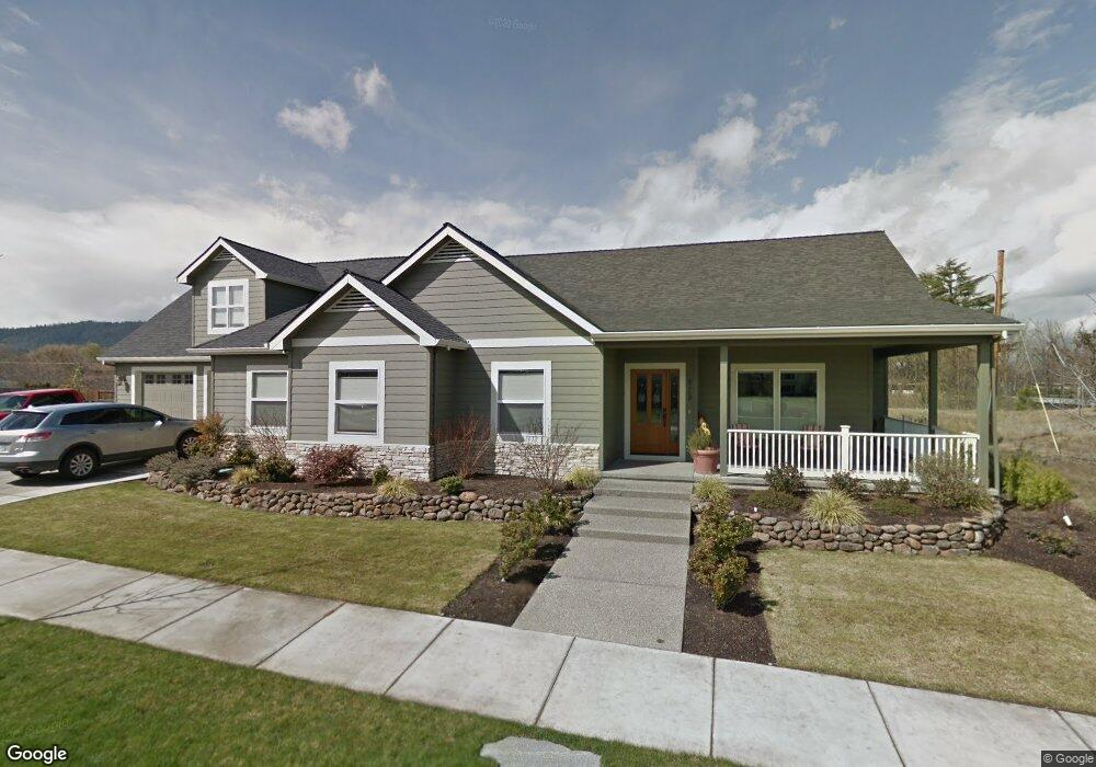
929 Buck Point St Central Point, OR 97502
Estimated Value: $794,807 - $913,000
5
Beds
4
Baths
3,634
Sq Ft
$238/Sq Ft
Est. Value
About This Home
This home is located at 929 Buck Point St, Central Point, OR 97502 and is currently estimated at $864,602, approximately $237 per square foot. 929 Buck Point St is a home located in Jackson County with nearby schools including Richardson Elementary School, Scenic Middle School, and Crater High School.
Ownership History
Date
Name
Owned For
Owner Type
Purchase Details
Closed on
Jun 11, 2020
Sold by
W L Moore Construction Inc
Bought by
Simpson Richard P and Simpson Rebecca L
Current Estimated Value
Purchase Details
Closed on
Nov 12, 2012
Sold by
Simpson Richard and Simpson Rebecca
Bought by
Simpson Richard P and Simpson Rebecca Leann
Home Financials for this Owner
Home Financials are based on the most recent Mortgage that was taken out on this home.
Original Mortgage
$190,000
Interest Rate
3.35%
Mortgage Type
New Conventional
Purchase Details
Closed on
Dec 9, 2008
Sold by
Twin Creeks Development Llc
Bought by
Simpson Richard and Simpson Rebecca
Create a Home Valuation Report for This Property
The Home Valuation Report is an in-depth analysis detailing your home's value as well as a comparison with similar homes in the area
Home Values in the Area
Average Home Value in this Area
Purchase History
| Date | Buyer | Sale Price | Title Company |
|---|---|---|---|
| Simpson Richard P | $335,000 | Amerititle | |
| Simpson Richard P | -- | Amerititle | |
| Simpson Richard | $175,000 | Accommodation |
Source: Public Records
Mortgage History
| Date | Status | Borrower | Loan Amount |
|---|---|---|---|
| Previous Owner | Simpson Richard P | $190,000 |
Source: Public Records
Tax History Compared to Growth
Tax History
| Year | Tax Paid | Tax Assessment Tax Assessment Total Assessment is a certain percentage of the fair market value that is determined by local assessors to be the total taxable value of land and additions on the property. | Land | Improvement |
|---|---|---|---|---|
| 2025 | $7,957 | $478,570 | $134,410 | $344,160 |
| 2024 | $7,957 | $464,640 | $130,490 | $334,150 |
| 2023 | $7,701 | $451,110 | $126,690 | $324,420 |
| 2022 | $7,521 | $451,110 | $126,690 | $324,420 |
| 2021 | $7,306 | $437,980 | $123,000 | $314,980 |
| 2020 | $7,093 | $425,230 | $119,420 | $305,810 |
| 2019 | $6,918 | $400,830 | $112,570 | $288,260 |
| 2018 | $6,707 | $389,160 | $109,290 | $279,870 |
| 2017 | $6,539 | $389,160 | $109,290 | $279,870 |
| 2016 | $6,348 | $366,830 | $103,020 | $263,810 |
| 2015 | $6,082 | $366,830 | $103,020 | $263,810 |
| 2014 | $5,416 | $315,960 | $97,100 | $218,860 |
Source: Public Records
Map
Nearby Homes
- 1135 Shake Dr
- 1134 Steamboat Dr
- 1159 Rustler Peak St
- 1317 River Run St
- 526 Stone Pointe Dr
- 629 Bridge Creek Dr
- 1167 Boulder Ridge St
- 0 Boulder Ridge St
- 626 Griffin Oaks Dr
- 407 Silver Creek Dr
- 426 Bridge Creek Dr
- 349 Cascade Dr
- 422 Castle Rock Dr
- 327 Brookhaven Dr
- 413 Sand Pointe Dr
- 905 Comet Ave
- 4626 N Pacific Hwy
- 356 Marian Ave Unit 40
- 619 Palo Verde Way
- 420 Mayberry Ln
- 927 Buck Point St
- 930 Buck Point St
- 925 Buck Point St
- 928 Buck Point St
- 1118 Twin Creeks Crossing
- 926 Buck Point St
- 1125 Twin Creeks Crossing
- 923 Buck Point St
- 1028 Buck Point St
- 924 Buck Point St
- 1034 Buck Point St
- 943 Sandoz St
- 1114 Twin Creeks Crossing
- 1019 Sandoz St
- 921 Buck Point St
- 4333 Grant Rd
- 1040 Buck Point St
- 920 Buck Point St
- 935 Sandoz St
- 1027 Sandoz St