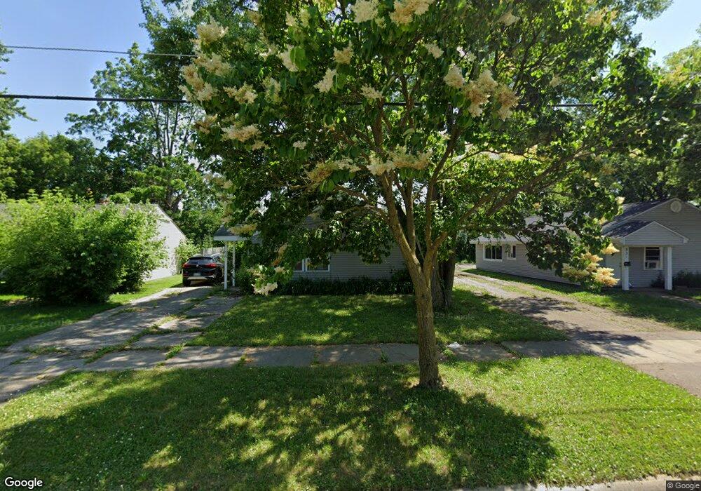
929 Ingleside Ave Flint, MI 48507
South Side NeighborhoodEstimated Value: $61,782 - $75,000
3
Beds
1
Bath
1,139
Sq Ft
$58/Sq Ft
Est. Value
About This Home
This home is located at 929 Ingleside Ave, Flint, MI 48507 and is currently estimated at $66,196, approximately $58 per square foot. 929 Ingleside Ave is a home located in Genesee County with nearby schools including Neithercut Elementary School, Flint Southwestern Classical Academy, and International Academy of Flint (K-12).
Ownership History
Date
Name
Owned For
Owner Type
Purchase Details
Closed on
Aug 31, 2023
Sold by
Byrne Barry M and Byrne Barry M
Bought by
Byrne Patrick S
Current Estimated Value
Purchase Details
Closed on
Nov 29, 2022
Sold by
Byrne Land Corporation
Bought by
Byrne Barry M and Byrne Barbara A
Purchase Details
Closed on
Oct 1, 2014
Sold by
Smith William L
Bought by
Byrne Land Corporation
Purchase Details
Closed on
Nov 18, 2005
Sold by
Doerr Kim M
Bought by
Smith William L
Purchase Details
Closed on
Oct 18, 2000
Sold by
Haggart Properties Inc
Bought by
Smith William L and Doerr Kim M
Create a Home Valuation Report for This Property
The Home Valuation Report is an in-depth analysis detailing your home's value as well as a comparison with similar homes in the area
Home Values in the Area
Average Home Value in this Area
Purchase History
| Date | Buyer | Sale Price | Title Company |
|---|---|---|---|
| Byrne Patrick S | -- | None Listed On Document | |
| Byrne Barry M | -- | -- | |
| Byrne Land Corporation | $36,000 | First American Title Ins Co | |
| Smith William L | -- | Title Michigan Agency Ltd | |
| Smith William L | $38,500 | Guaranty Title Company |
Source: Public Records
Tax History Compared to Growth
Tax History
| Year | Tax Paid | Tax Assessment Tax Assessment Total Assessment is a certain percentage of the fair market value that is determined by local assessors to be the total taxable value of land and additions on the property. | Land | Improvement |
|---|---|---|---|---|
| 2025 | $1,580 | $17,900 | $0 | $0 |
| 2024 | $1,454 | $18,400 | $0 | $0 |
| 2023 | $981 | $14,800 | $0 | $0 |
| 2022 | $0 | $12,500 | $0 | $0 |
| 2021 | $994 | $11,300 | $0 | $0 |
| 2020 | $916 | $11,300 | $0 | $0 |
| 2019 | $896 | $11,600 | $0 | $0 |
| 2018 | $883 | $9,700 | $0 | $0 |
| 2017 | $860 | $0 | $0 | $0 |
| 2016 | $855 | $0 | $0 | $0 |
| 2015 | -- | $0 | $0 | $0 |
| 2014 | -- | $0 | $0 | $0 |
| 2012 | -- | $11,600 | $0 | $0 |
Source: Public Records
Map
Nearby Homes
- 4418 Brunswick Ave
- 1031 Ingleside Ave
- 1015 Alvord Ave
- 829 Clinton St
- 1039 Markham St
- 845 Alvord Ave
- 1122 Markham St
- 805 Alvord Ave
- 818 Alvord Ave
- 3322 Fenton Rd
- 1234 Huron St
- 1314 Pinehurst Ave
- 1212 Crawford St
- 1310 Huron St
- 652 Huron St
- 1318 Ingleside Ave
- 1028 Campbell St
- 822 Campbell St
- 1329 Huron St
- 1228 Leland St
- 935 Ingleside Ave
- 919 Ingleside Ave
- 928 Major St
- 924 Major St
- 939 Ingleside Ave
- 936 Major St
- 916 Major St
- 944 Major St
- 928 Ingleside Ave
- 932 Ingleside Ave
- 912 Major St
- 940 Ingleside Ave
- 915 Ingleside Ave
- 948 Major St
- 947 Ingleside Ave
- 912 Ingleside Ave
- 4506 Brunswick Ave
- 911 Huron St
- 4514 Brunswick Ave
- 4518 Brunswick Ave