Estimated Value: $404,000 - $446,000
2
Beds
3
Baths
1,848
Sq Ft
$230/Sq Ft
Est. Value
About This Home
This home is located at 93 Katie Ln, Dover, NH 03820 and is currently estimated at $425,526, approximately $230 per square foot. 93 Katie Ln is a home located in Strafford County with nearby schools including Garrison School, Dover Middle School, and Dover Senior High School.
Ownership History
Date
Name
Owned For
Owner Type
Purchase Details
Closed on
Mar 1, 2001
Sold by
Portigiano Steven
Bought by
Murray Jeffrey N
Current Estimated Value
Home Financials for this Owner
Home Financials are based on the most recent Mortgage that was taken out on this home.
Original Mortgage
$127,475
Outstanding Balance
$49,187
Interest Rate
7%
Estimated Equity
$376,339
Purchase Details
Closed on
Apr 1, 1999
Sold by
Linda A Heyliger Ret
Bought by
Portigiano Steven
Home Financials for this Owner
Home Financials are based on the most recent Mortgage that was taken out on this home.
Original Mortgage
$118,800
Interest Rate
6.78%
Create a Home Valuation Report for This Property
The Home Valuation Report is an in-depth analysis detailing your home's value as well as a comparison with similar homes in the area
Home Values in the Area
Average Home Value in this Area
Purchase History
| Date | Buyer | Sale Price | Title Company |
|---|---|---|---|
| Murray Jeffrey N | $160,500 | -- | |
| Portigiano Steven | $132,000 | -- |
Source: Public Records
Mortgage History
| Date | Status | Borrower | Loan Amount |
|---|---|---|---|
| Open | Portigiano Steven | $127,475 | |
| Previous Owner | Portigiano Steven | $118,800 |
Source: Public Records
Tax History Compared to Growth
Tax History
| Year | Tax Paid | Tax Assessment Tax Assessment Total Assessment is a certain percentage of the fair market value that is determined by local assessors to be the total taxable value of land and additions on the property. | Land | Improvement |
|---|---|---|---|---|
| 2024 | $7,591 | $417,800 | $57,000 | $360,800 |
| 2023 | $7,102 | $379,800 | $63,000 | $316,800 |
| 2022 | $6,759 | $340,700 | $54,000 | $286,700 |
| 2021 | $6,402 | $295,000 | $43,000 | $252,000 |
| 2020 | $6,990 | $281,300 | $72,000 | $209,300 |
| 2019 | $6,423 | $255,000 | $50,000 | $205,000 |
| 2018 | $6,534 | $262,200 | $56,000 | $206,200 |
| 2017 | $6,757 | $261,200 | $61,000 | $200,200 |
| 2016 | $6,055 | $230,300 | $41,000 | $189,300 |
| 2015 | $5,796 | $217,800 | $33,000 | $184,800 |
| 2014 | $5,532 | $212,700 | $34,000 | $178,700 |
| 2011 | $4,846 | $192,900 | $24,000 | $168,900 |
Source: Public Records
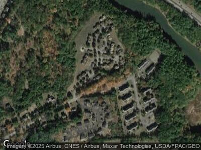
Map
Nearby Homes
- 12 Juniper Dr Unit Lot 12
- 12 Red Barn Dr
- 22 Village Dr
- 35 Mill St
- 18 Riverdale Ave
- 22 Sierra Hill Dr Unit 28
- 22 Bellamy Woods
- 51 Applevale Dr
- 40 Sierra Hill Dr Unit 40
- 31 Artisan Way
- 65 Pointe Place Unit 104
- 24 Sierra Hill Dr
- 19 Sierra Hill Dr
- 55 Pointe Place Unit 207
- 55 Pointe Place Unit 306
- 55 Pointe Place Unit 303
- 55 Pointe Place Unit 308
- 55 Pointe Place Unit 203
- 55 Pointe Place Unit 105
- 55 Pointe Place Unit 302