93 Maquoit Dr Freeport, ME 04032
Estimated Value: $553,329 - $819,000
3
Beds
2
Baths
1,122
Sq Ft
$602/Sq Ft
Est. Value
About This Home
This home is located at 93 Maquoit Dr, Freeport, ME 04032 and is currently estimated at $675,776, approximately $602 per square foot. 93 Maquoit Dr is a home located in Cumberland County with nearby schools including Morse Street School, Mast Landing School, and Freeport Middle School.
Create a Home Valuation Report for This Property
The Home Valuation Report is an in-depth analysis detailing your home's value as well as a comparison with similar homes in the area
Home Values in the Area
Average Home Value in this Area
Tax History Compared to Growth
Tax History
| Year | Tax Paid | Tax Assessment Tax Assessment Total Assessment is a certain percentage of the fair market value that is determined by local assessors to be the total taxable value of land and additions on the property. | Land | Improvement |
|---|---|---|---|---|
| 2024 | $4,149 | $310,800 | $219,800 | $91,000 |
| 2023 | $3,839 | $279,200 | $199,800 | $79,400 |
| 2022 | $3,519 | $257,800 | $178,400 | $79,400 |
| 2021 | $2,893 | $241,700 | $162,200 | $79,500 |
| 2020 | $2,743 | $220,900 | $150,200 | $70,700 |
| 2019 | $2,970 | $207,700 | $141,700 | $66,000 |
| 2018 | $2,935 | $195,000 | $128,800 | $66,200 |
| 2017 | $2,907 | $189,700 | $126,200 | $63,500 |
| 2016 | $2,890 | $168,700 | $109,800 | $58,900 |
| 2015 | $2,594 | $154,400 | $98,100 | $56,300 |
| 2014 | $2,503 | $158,400 | $98,100 | $60,300 |
| 2013 | $2,671 | $168,500 | $109,100 | $59,400 |
Source: Public Records
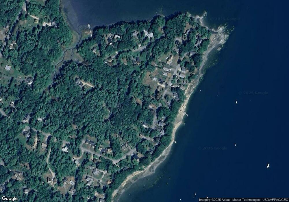
Map
Nearby Homes
- 71 Merganser Way
- 83 Central Ave
- 46 Blackstone Club Rd
- 34 Newfield Rd
- 853 Mere Point Rd
- Map 80 Lot 18-0 White Island
- 26 Harvest Ridge Rd Unit 24
- 11 Orchard Hill Rd
- 1612 U S Route 1
- Lot 129 Harpswell Neck Rd
- 15 Tinkers Way
- 212 Main St
- 41 Spruce Brook Dr
- 10 Durham Rd
- Lot 2A Allen Point Rd
- Lot 2B Allen Point Rd
- 1 Mallard Pond Rd
- 0 Gundalo Gap Rd Unit 1638108
- 1260 Us Route 1
- 42 Durham Rd