Estimated Value: $590,168 - $711,000
4
Beds
3
Baths
3,010
Sq Ft
$218/Sq Ft
Est. Value
About This Home
This home is located at 93 Norris Rd, Weare, NH 03281 and is currently estimated at $654,723, approximately $217 per square foot. 93 Norris Rd is a home with nearby schools including Center Woods Elementary School, Weare Middle School, and John Stark Regional High School.
Create a Home Valuation Report for This Property
The Home Valuation Report is an in-depth analysis detailing your home's value as well as a comparison with similar homes in the area
Home Values in the Area
Average Home Value in this Area
Tax History Compared to Growth
Tax History
| Year | Tax Paid | Tax Assessment Tax Assessment Total Assessment is a certain percentage of the fair market value that is determined by local assessors to be the total taxable value of land and additions on the property. | Land | Improvement |
|---|---|---|---|---|
| 2024 | $10,046 | $492,700 | $110,700 | $382,000 |
| 2023 | $9,282 | $492,700 | $110,700 | $382,000 |
| 2022 | $8,573 | $492,700 | $110,700 | $382,000 |
| 2021 | $8,435 | $490,400 | $110,700 | $379,700 |
| 2020 | $8,672 | $362,100 | $83,500 | $278,600 |
| 2019 | $8,585 | $362,100 | $83,500 | $278,600 |
| 2018 | $8,339 | $362,100 | $83,500 | $278,600 |
| 2016 | $8,100 | $362,100 | $83,500 | $278,600 |
Source: Public Records
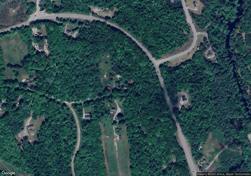
Map
Nearby Homes
- 174 S Stark Hwy Unit 13
- 174 S Stark Hwy Unit 1
- 174 S Stark Hwy Unit 23
- 93 Daniels Rd
- 77 Gould Rd
- 95 Wright Dr
- 103 Renshaw Rd
- 88 Saunders Rd
- 450 Weare Rd
- 34 Lull Rd
- 624 S Stark Hwy
- 342 Weare Rd
- 179 Oak Hill Rd
- 16 Palmer Rd
- 3 Stephanie Rd
- 22 Fairway Dr
- 0 Fairway Dr Unit 11
- 25 Pleasant St
- 12 S Mast St
- 849 River Rd