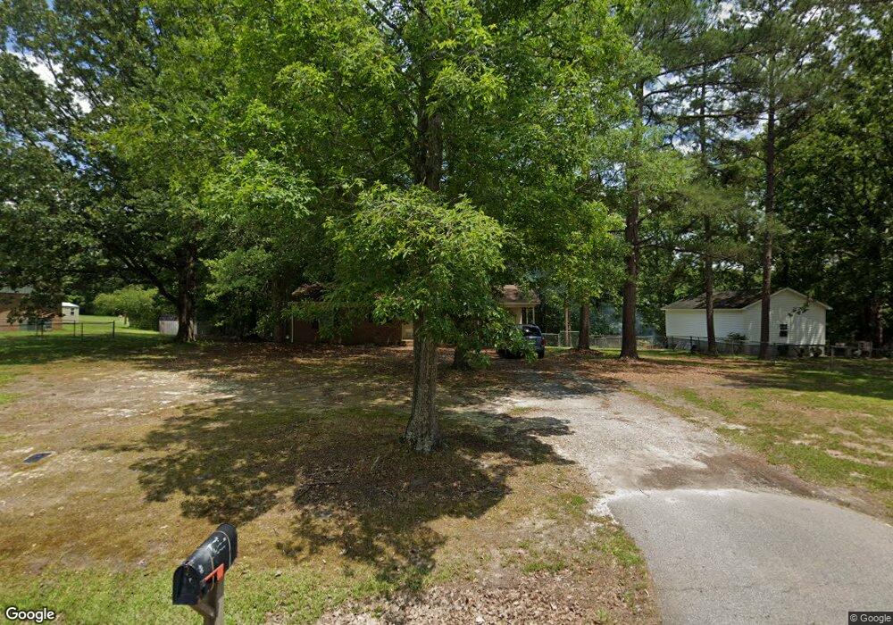
930 Community Ln Lancaster, SC 29720
Estimated Value: $139,000 - $256,000
--
Bed
1
Bath
1,122
Sq Ft
$165/Sq Ft
Est. Value
About This Home
This home is located at 930 Community Ln, Lancaster, SC 29720 and is currently estimated at $184,870, approximately $164 per square foot. 930 Community Ln is a home located in Lancaster County with nearby schools including Brooklyn Springs Elementary School, South Middle School, and Lancaster High School.
Ownership History
Date
Name
Owned For
Owner Type
Purchase Details
Closed on
Feb 24, 2021
Sold by
Robinson Shawn and Starnes Kristen
Bought by
Robinson Shawn
Current Estimated Value
Purchase Details
Closed on
Apr 30, 2020
Sold by
Mcmanus Arnold N
Bought by
Robinson Shawn and Starnes Kristen
Home Financials for this Owner
Home Financials are based on the most recent Mortgage that was taken out on this home.
Original Mortgage
$91,919
Interest Rate
3.6%
Mortgage Type
New Conventional
Create a Home Valuation Report for This Property
The Home Valuation Report is an in-depth analysis detailing your home's value as well as a comparison with similar homes in the area
Home Values in the Area
Average Home Value in this Area
Purchase History
| Date | Buyer | Sale Price | Title Company |
|---|---|---|---|
| Robinson Shawn | -- | None Listed On Document | |
| Robinson Shawn | $91,000 | None Available |
Source: Public Records
Mortgage History
| Date | Status | Borrower | Loan Amount |
|---|---|---|---|
| Previous Owner | Robinson Shawn | $91,919 |
Source: Public Records
Tax History
| Year | Tax Paid | Tax Assessment Tax Assessment Total Assessment is a certain percentage of the fair market value that is determined by local assessors to be the total taxable value of land and additions on the property. | Land | Improvement |
|---|---|---|---|---|
| 2024 | $1,836 | $5,544 | $750 | $4,794 |
| 2023 | $1,834 | $5,544 | $750 | $4,794 |
| 2022 | $1,827 | $5,544 | $750 | $4,794 |
| 2021 | $1,721 | $5,304 | $750 | $4,554 |
| 2020 | $1,400 | $4,320 | $750 | $3,570 |
| 2019 | $1,042 | $3,084 | $500 | $2,584 |
| 2018 | $1,002 | $3,084 | $500 | $2,584 |
| 2017 | $461 | $0 | $0 | $0 |
| 2016 | $450 | $0 | $0 | $0 |
| 2015 | $374 | $0 | $0 | $0 |
| 2014 | $374 | $0 | $0 | $0 |
| 2013 | $374 | $0 | $0 | $0 |
Source: Public Records
Map
Nearby Homes
- 2748 Flat Creek Rd
- 5144 Foxmeade Ct
- 2063 Gunnars Ridge Rd
- 2119 Gunnars Ridge Rd
- 2155 Gunnars Ridge Rd
- 992 S Potter Rd
- 2425 Kershaw Camden Hwy
- 1099 S Potter Rd
- 444 Wateree St
- 2429 Bartlett St
- 3104 Taxahaw Rd
- 2036 E Park Dr
- 2040 E Park Dr
- 2538 Old Camden Hwy
- 2084 E Park Dr
- 2080 E Park Dr
- 2088 E Park Dr
- 2082 E Park Dr
- 2086 E Park Dr
- 572 Mosteller Dr
- 942 Community Ln
- 937 Community Ln
- 914 Community Ln
- 2242 Pond Ct
- 919 Community Ln
- 962 Community Ln
- 900 Community Ln
- 2211 Pond Ct
- 959 Community Ln
- 2221 Pond Ct
- 1026 Community Ln
- 897 Community Ln
- 961 Community Ln
- 146 Ghent Lake Rd
- 872 Community Ln
- 873 Community Ln
- 993 Community Ln
- 1007 Community Ln
- 847 Community Ln
- 842 Community Ln
Your Personal Tour Guide
Ask me questions while you tour the home.