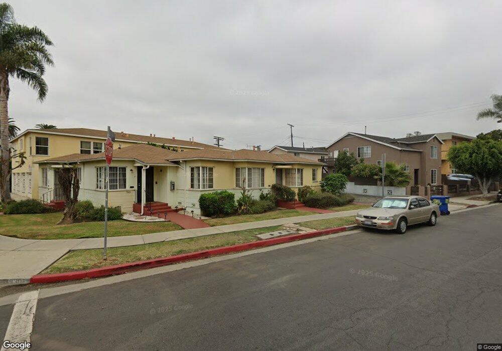
9301 National Blvd Los Angeles, CA 90034
Estimated Value: $1,388,000 - $1,575,000
3
Beds
3
Baths
1,562
Sq Ft
$935/Sq Ft
Est. Value
About This Home
This home is located at 9301 National Blvd, Los Angeles, CA 90034 and is currently estimated at $1,460,333, approximately $934 per square foot. 9301 National Blvd is a home located in Los Angeles County with nearby schools including Castle Heights Elementary, Palms Middle School, and Alexander Hamilton Senior High School.
Ownership History
Date
Name
Owned For
Owner Type
Purchase Details
Closed on
Sep 13, 2002
Sold by
John Heinz A
Bought by
Fleck Jeffrey and Steinhart Deborah
Current Estimated Value
Home Financials for this Owner
Home Financials are based on the most recent Mortgage that was taken out on this home.
Original Mortgage
$81,250
Interest Rate
6.06%
Create a Home Valuation Report for This Property
The Home Valuation Report is an in-depth analysis detailing your home's value as well as a comparison with similar homes in the area
Home Values in the Area
Average Home Value in this Area
Purchase History
| Date | Buyer | Sale Price | Title Company |
|---|---|---|---|
| Fleck Jeffrey | $775,000 | Southland Title Company |
Source: Public Records
Mortgage History
| Date | Status | Borrower | Loan Amount |
|---|---|---|---|
| Previous Owner | Fleck Jeffrey | $81,250 |
Source: Public Records
Tax History Compared to Growth
Tax History
| Year | Tax Paid | Tax Assessment Tax Assessment Total Assessment is a certain percentage of the fair market value that is determined by local assessors to be the total taxable value of land and additions on the property. | Land | Improvement |
|---|---|---|---|---|
| 2025 | $5,931 | $434,478 | $376,557 | $57,921 |
| 2024 | $5,931 | $425,960 | $369,174 | $56,786 |
| 2023 | $5,833 | $417,609 | $361,936 | $55,673 |
| 2022 | $5,595 | $409,422 | $354,840 | $54,582 |
| 2021 | $5,526 | $401,395 | $347,883 | $53,512 |
| 2019 | $5,380 | $389,491 | $337,565 | $51,926 |
| 2018 | $5,278 | $381,855 | $330,947 | $50,908 |
| 2016 | $5,017 | $367,029 | $318,097 | $48,932 |
| 2015 | $4,952 | $361,516 | $313,319 | $48,197 |
| 2014 | $4,988 | $354,435 | $307,182 | $47,253 |
Source: Public Records
Map
Nearby Homes
- 3309 Aria Ln
- 3306 Aria Ln
- 9204 National Blvd
- 3125 S Durango Ave
- 3345 Oakhurst Ave
- 3340 Cardiff Ave
- 3007 S Canfield Ave
- 3734 S Canfield Ave Unit 109
- 3734 S Canfield Ave Unit 228
- 3734 S Canfield Ave Unit 340
- 3734 S Canfield Ave Unit 331
- 0 E Ave R6 East of 140th St Unit SR24138696
- 0 E Cor 110th Ste Pav Ave Q Ste St Unit 25001701
- 0 E Cor 110th Ste Pav Ave Q Ste St Unit SR25050266
- 3640 Cardiff Ave Unit 108
- 3766 S Canfield Ave
- 3115 Curts Ave
- 3756 Bagley Ave Unit 102
- 9521 Cattaraugus Ave
- 8954 Kramerwood Place
- 3151 S Canfield Ave
- 9313 National Blvd Unit 210
- 9313 National Blvd Unit 209
- 9313 National Blvd Unit 208
- 9313 National Blvd Unit 207
- 9313 National Blvd Unit 206
- 9313 National Blvd Unit 205
- 9313 National Blvd Unit 204
- 9313 National Blvd Unit 203
- 9313 National Blvd Unit 110
- 9313 National Blvd Unit 109
- 9313 National Blvd Unit 108
- 9313 National Blvd Unit 107
- 9313 National Blvd Unit 106
- 9313 National Blvd Unit 105
- 9313 National Blvd Unit 104
- 9313 National Blvd Unit 103
- 9313 National Blvd Unit 102
- 9313 National Blvd Unit 101
- 3144 S Canfield Ave Unit 109