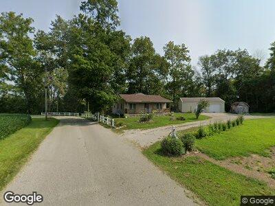
9304 S 25 W Flat Rock, IN 47234
Estimated Value: $176,000 - $254,000
2
Beds
1
Bath
768
Sq Ft
$276/Sq Ft
Est. Value
About This Home
This home is located at 9304 S 25 W, Flat Rock, IN 47234 and is currently estimated at $212,116, approximately $276 per square foot. 9304 S 25 W is a home located in Shelby County with nearby schools including Southwestern Elementary School and Southwestern High School.
Ownership History
Date
Name
Owned For
Owner Type
Purchase Details
Closed on
Mar 11, 2020
Sold by
Crouch Jay Thomas and Estate Of Darrell J Crouch
Bought by
Crouch Daniel T
Current Estimated Value
Home Financials for this Owner
Home Financials are based on the most recent Mortgage that was taken out on this home.
Original Mortgage
$109,250
Interest Rate
3.4%
Mortgage Type
New Conventional
Purchase Details
Closed on
Sep 20, 2007
Sold by
Crouch Carolyn
Bought by
Crouch Darrell
Create a Home Valuation Report for This Property
The Home Valuation Report is an in-depth analysis detailing your home's value as well as a comparison with similar homes in the area
Home Values in the Area
Average Home Value in this Area
Purchase History
| Date | Buyer | Sale Price | Title Company |
|---|---|---|---|
| Crouch Daniel T | -- | None Available | |
| Crouch Darrell | -- | None Available | |
| Crouch Darrell | -- | -- |
Source: Public Records
Mortgage History
| Date | Status | Borrower | Loan Amount |
|---|---|---|---|
| Closed | Crouch Daniel T | $109,250 |
Source: Public Records
Tax History Compared to Growth
Tax History
| Year | Tax Paid | Tax Assessment Tax Assessment Total Assessment is a certain percentage of the fair market value that is determined by local assessors to be the total taxable value of land and additions on the property. | Land | Improvement |
|---|---|---|---|---|
| 2024 | $584 | $127,300 | $20,300 | $107,000 |
| 2023 | $539 | $123,100 | $20,300 | $102,800 |
| 2022 | $486 | $108,400 | $17,800 | $90,600 |
| 2021 | $443 | $100,600 | $17,800 | $82,800 |
| 2020 | $454 | $97,400 | $17,800 | $79,600 |
| 2019 | $413 | $96,200 | $17,800 | $78,400 |
| 2018 | $1,077 | $96,700 | $17,800 | $78,900 |
| 2017 | $1,043 | $92,400 | $17,800 | $74,600 |
| 2016 | $1,032 | $91,100 | $15,800 | $75,300 |
| 2014 | $914 | $87,100 | $15,000 | $72,100 |
| 2013 | $914 | $89,400 | $15,000 | $74,400 |
Source: Public Records
Map
Nearby Homes
- 0 St 9 Rd Unit MBR21894364
- 10776 S 250 W
- 2451 W Flat Rock Rd
- 2650 W State Road 252
- 9278 S Geneva Rd
- 3149 E 900 S
- 5299 W Pr Black Hawk Hills
- 7934 S 600 W
- 6063 W Mount Auburn 2nd St
- 6086 W 850 S
- 828 Main St
- 822 Main St
- 5752 E River Rd
- 3163 S 25 E
- 648 Market St
- 3081 S Woodridge Rd
- 219 High St
- 504 Union St
- 603 Aiken St
- 334 Vine St
- 9304 S 25 W
- 204 W 900 S
- 9417 S 25 W
- 9229 S 25 W
- 356 W 900 S
- 432 W 900 S
- 56 E 900 S
- 9525 S 25 W
- 204 E 900 S
- 884 W 900 S
- 100 E Hawkins Riverside Dr
- 914 W 900 S
- 9265 S 50 E
- 148 E Hawkins Riverside Dr
- 194 E Hawkins Riverside Dr
- 246 E Hawkins Riverside Dr
- 915 W 900 S
- 274 E Hawkins Riverside Dr
- 9694 S 25 W
- 274 Hawkins Riverside