931 John Buck McCoy Rd Moultrie, GA 31788
Estimated Value: $395,000 - $803,424
3
Beds
2
Baths
2,136
Sq Ft
$281/Sq Ft
Est. Value
About This Home
This home is located at 931 John Buck McCoy Rd, Moultrie, GA 31788 and is currently estimated at $599,212, approximately $280 per square foot. 931 John Buck McCoy Rd is a home located in Colquitt County with nearby schools including Odom Elementary School, Willie J. Williams Middle School, and C.A. Gray Junior High School.
Ownership History
Date
Name
Owned For
Owner Type
Purchase Details
Closed on
May 12, 2006
Sold by
Cooper Hugh D
Bought by
Cooper Hugh D and Cooper Lynn W
Current Estimated Value
Purchase Details
Closed on
Feb 10, 1994
Bought by
Cooper Hugh D
Purchase Details
Closed on
May 10, 1993
Bought by
American Banking Company
Purchase Details
Closed on
Dec 4, 1975
Bought by
Hiers William H
Create a Home Valuation Report for This Property
The Home Valuation Report is an in-depth analysis detailing your home's value as well as a comparison with similar homes in the area
Home Values in the Area
Average Home Value in this Area
Purchase History
| Date | Buyer | Sale Price | Title Company |
|---|---|---|---|
| Cooper Hugh D | -- | -- | |
| Cooper Hugh D | $76,300 | -- | |
| American Banking Company | $101,700 | -- | |
| Hiers William H | -- | -- |
Source: Public Records
Tax History Compared to Growth
Tax History
| Year | Tax Paid | Tax Assessment Tax Assessment Total Assessment is a certain percentage of the fair market value that is determined by local assessors to be the total taxable value of land and additions on the property. | Land | Improvement |
|---|---|---|---|---|
| 2024 | $3,578 | $267,925 | $117,244 | $150,681 |
| 2023 | $4,174 | $238,377 | $117,244 | $121,133 |
| 2022 | $3,748 | $230,042 | $116,882 | $113,160 |
| 2021 | $3,608 | $205,046 | $99,416 | $105,630 |
| 2020 | $3,642 | $205,046 | $99,416 | $105,630 |
| 2019 | $3,654 | $191,806 | $99,416 | $92,390 |
| 2018 | $4,890 | $191,170 | $98,780 | $92,390 |
| 2017 | $3,214 | $201,108 | $120,608 | $80,500 |
| 2016 | $3,225 | $201,108 | $120,608 | $80,500 |
| 2015 | $3,224 | $201,107 | $120,608 | $80,500 |
| 2014 | $3,134 | $201,107 | $120,608 | $80,500 |
| 2013 | -- | $201,107 | $120,607 | $80,499 |
Source: Public Records
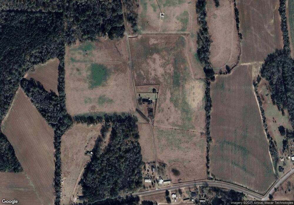
Map
Nearby Homes
- 313 Langford St
- 0 Southerland Ave
- 410 Railroad St
- 5808 Georgia 133
- 0 Upper Trail Unit 913421
- 0 Upper Trail Unit 913422
- 9283 Tallokas Rd Unit 54/13
- 9283 Tallokas Rd
- 8774 Antioch Rd
- 277 Indian Creek Subdivision
- 0 Burton Rd Unit 23760976
- 0 Burton Rd Unit 23669194
- 1114 Cannon Rd
- 182 Horseshoe Dr
- 2262 Sardis Church Rd
- 16343 Georgia 33
- 16343 Ga Hwy 33 -8 34 Acres
- 16343
- 16343 Ga Hwy 33 - 8 34 Acres Hwy
- 124 Flint Dr
- 931A John Buck McCoy Rd
- 931A John Buck McCoy Rd
- 939 John Buck McCoy Rd
- 847 John Buck McCoy Rd
- 950 John Buck McCoy Rd
- 685 John Buck McCoy Rd
- 398 Pleasant Hill Church Rd
- 714 John Buck McCoy Rd
- 384 Pleasant Hill Church Rd
- 3635 Pleasant Hill Church Rd
- 0 John Buck McCoy Rd
- 3503 Pleasant Hill Church Rd
- 270 Pleasant Hill Church Rd
- 291 Lane Rd
- 257 Dampier Rd
- 389 Lane Rd
- 385 Lane Rd
- 546 Lane Rd
- 460 Lane Rd
- 522 Lane Rd