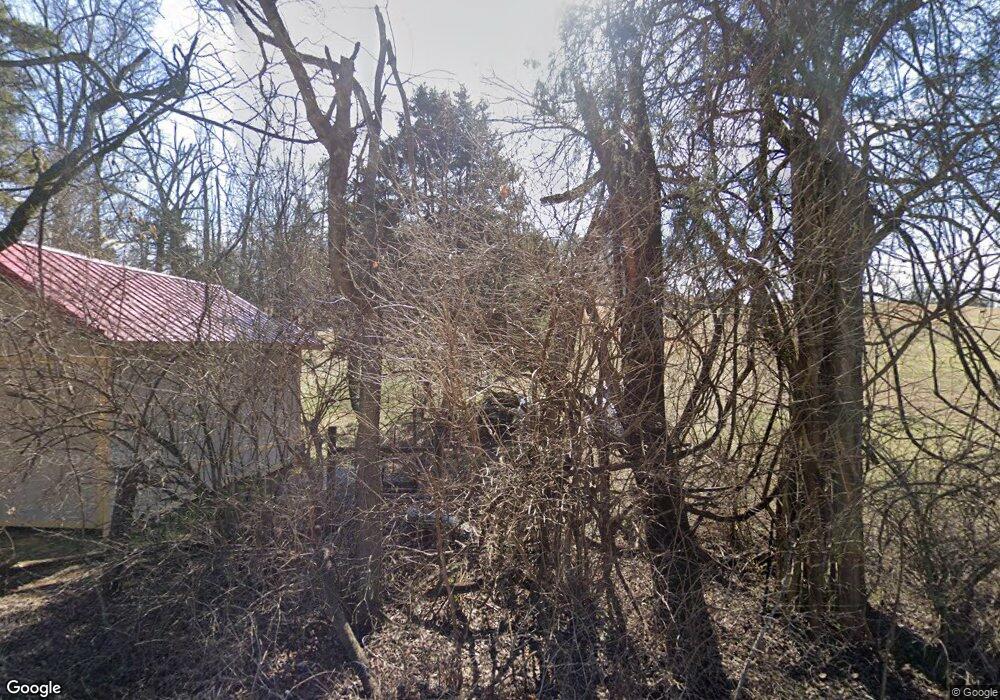
931 Shields Ridge Rd New Market, TN 37820
Estimated Value: $479,000 - $639,530
--
Bed
3
Baths
3,176
Sq Ft
$179/Sq Ft
Est. Value
About This Home
This home is located at 931 Shields Ridge Rd, New Market, TN 37820 and is currently estimated at $567,177, approximately $178 per square foot. 931 Shields Ridge Rd is a home located in Jefferson County.
Ownership History
Date
Name
Owned For
Owner Type
Purchase Details
Closed on
May 5, 2023
Sold by
Kelley Roger Dale and Kelley Sandra Lee
Bought by
Kelley Roger Dale and Kelley Sandra Lee
Current Estimated Value
Purchase Details
Closed on
Apr 23, 2013
Sold by
Kelley Roger Dale
Bought by
Kelley Roger Dale and Kelley Sandra Lee
Purchase Details
Closed on
Jun 17, 1991
Bought by
Kelley Roger Dale and Sandra Lee
Purchase Details
Closed on
Jan 2, 1990
Bought by
Kelley Roger Dale and Sandra Lee
Purchase Details
Closed on
Oct 2, 1981
Bought by
Kelley Roger Dale and Sandra Lee
Create a Home Valuation Report for This Property
The Home Valuation Report is an in-depth analysis detailing your home's value as well as a comparison with similar homes in the area
Home Values in the Area
Average Home Value in this Area
Purchase History
| Date | Buyer | Sale Price | Title Company |
|---|---|---|---|
| Kelley Roger Dale | -- | None Listed On Document | |
| Kelley Roger Dale | -- | -- | |
| Kelley Roger Dale | -- | -- | |
| Kelley Roger Dale | $6,000 | -- | |
| Kelley Roger Dale | -- | -- |
Source: Public Records
Tax History Compared to Growth
Tax History
| Year | Tax Paid | Tax Assessment Tax Assessment Total Assessment is a certain percentage of the fair market value that is determined by local assessors to be the total taxable value of land and additions on the property. | Land | Improvement |
|---|---|---|---|---|
| 2025 | $1,628 | $113,875 | $12,100 | $101,775 |
| 2023 | $1,361 | $59,175 | $7,450 | $51,725 |
| 2022 | $1,296 | $59,175 | $7,450 | $51,725 |
| 2021 | $1,296 | $59,175 | $7,450 | $51,725 |
| 2020 | $1,296 | $59,175 | $7,450 | $51,725 |
| 2019 | $1,296 | $59,175 | $7,450 | $51,725 |
| 2018 | $1,328 | $56,500 | $7,450 | $49,050 |
| 2017 | $1,328 | $56,500 | $7,450 | $49,050 |
| 2016 | $1,328 | $56,500 | $7,450 | $49,050 |
| 2015 | $1,328 | $56,500 | $7,450 | $49,050 |
| 2014 | $1,328 | $56,500 | $7,450 | $49,050 |
Source: Public Records
Map
Nearby Homes
- 925 Mcguire Rd
- 203 Bicentennial Dr
- 405 Colonial St
- 419 Colonial St
- 565 Providence Dr
- 784 Constitution Dr
- 755 Rh Ellis Rd
- 434 Mcguire Rd
- 792 Rh Ellis Rd
- 422 Mcguire Rd
- 409 Sunrise Ridge Dr
- 1032 Patriot Hills Dr
- 1106 Hinchey Hollow Rd
- 110 Lennox Dr
- 1052 Patriots Landing
- 1036 Patriots Landing
- 1032 Patriot Landing Dr
- Tract 1 Patriot Landing Dr
- 878 Shields Ridge Rd
- 0 Shields Ridge Rd - Tracts 1&2 Unit 970622
- 610 Crestfield Dr
- 120 Underwood Rd
- Tract 5 Underwood Rd
- Tract 1-0 Underwood Rd
- 940 Shields Ridge Rd
- 940 Shields Ridge Rd
- 936 Shields Ridge Rd
- 819 Shields Ridge Rd
- 819 Shields Ridge Rd
- 685 Crestfield Dr
- Tract 4 Shields Rdige Rd
- 630 Crestfield Dr
- 813 Shields Ridge Rd
- 1025 Shields Ridge Rd
- 1031 Shields Ridge Rd
- Tract 2-0 Underwood
- 664 Crestfield Dr
- 671 Crestfield Dr
