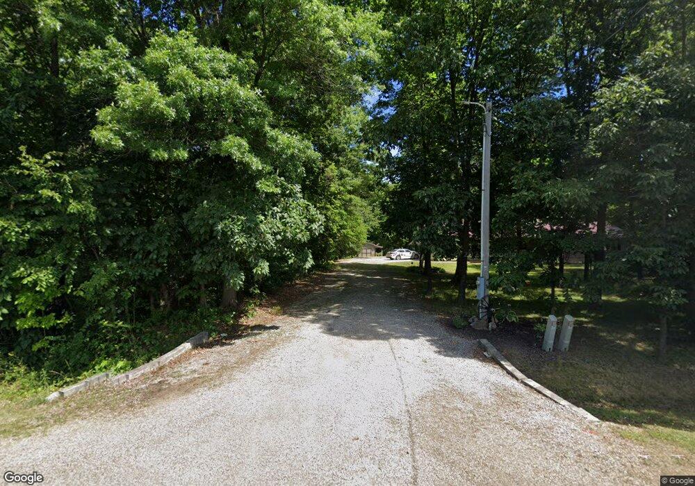
932 Township Road 1894 Ashland, OH 44805
Estimated Value: $253,000 - $341,000
3
Beds
2
Baths
1,682
Sq Ft
$180/Sq Ft
Est. Value
About This Home
This home is located at 932 Township Road 1894, Ashland, OH 44805 and is currently estimated at $303,000, approximately $180 per square foot. 932 Township Road 1894 is a home located in Ashland County with nearby schools including Hillsdale Elementary School, Hillsdale Middle School, and Hillsdale High School.
Ownership History
Date
Name
Owned For
Owner Type
Purchase Details
Closed on
Jul 10, 2008
Sold by
Daniel Buster and Daniel Rebecca
Bought by
Daniel Rebecca
Current Estimated Value
Purchase Details
Closed on
Apr 3, 2008
Bought by
Daniel Buster
Purchase Details
Closed on
Aug 1, 2002
Sold by
Kisor Brock A
Bought by
Medley Toby M
Purchase Details
Closed on
Apr 14, 1998
Bought by
Kisor Brock A
Create a Home Valuation Report for This Property
The Home Valuation Report is an in-depth analysis detailing your home's value as well as a comparison with similar homes in the area
Home Values in the Area
Average Home Value in this Area
Purchase History
| Date | Buyer | Sale Price | Title Company |
|---|---|---|---|
| Daniel Rebecca | -- | -- | |
| Daniel Buster | $160,000 | -- | |
| Medley Toby M | $146,500 | -- | |
| Kisor Brock A | $16,500 | -- |
Source: Public Records
Tax History Compared to Growth
Tax History
| Year | Tax Paid | Tax Assessment Tax Assessment Total Assessment is a certain percentage of the fair market value that is determined by local assessors to be the total taxable value of land and additions on the property. | Land | Improvement |
|---|---|---|---|---|
| 2024 | $2,264 | $79,450 | $13,000 | $66,450 |
| 2023 | $2,264 | $79,450 | $13,000 | $66,450 |
| 2022 | $2,328 | $56,760 | $9,290 | $47,470 |
| 2021 | $2,332 | $56,760 | $9,290 | $47,470 |
| 2020 | $2,182 | $56,760 | $9,290 | $47,470 |
| 2019 | $2,071 | $52,820 | $9,020 | $43,800 |
| 2018 | $2,058 | $52,820 | $9,020 | $43,800 |
| 2017 | $1,798 | $52,820 | $9,020 | $43,800 |
| 2016 | $1,798 | $45,930 | $7,840 | $38,090 |
| 2015 | $1,776 | $45,930 | $7,840 | $38,090 |
| 2013 | $2,044 | $51,850 | $8,320 | $43,530 |
Source: Public Records
Map
Nearby Homes
- 0 Twp Rd 1806 Unit 11591470
- 820 County Road 30a
- 1106 County Road 30a
- 1690 County Road 995
- 1015 Township Road 1696
- 150 E Main St
- 1653 Ohio 60
- 1653 State Route 60
- 1845 County Road 655
- 1048 Township Road 2156
- 1183 County Road 30a
- 19 Maine St
- 1581 County Road 995
- 0 Ashland County Road 2175
- 0 Ashland County Road 2175
- 945 Pike Dr
- 0 Township Road 925
- 1457 Township Road 853
- 1435 Township Road 853
- 928 Township Road 1894
- 934 Township Road 1894
- 926 Township Road 1894
- 942 Township Road 1894
- 948 Township Road 1894
- 911 County Road 1904
- 0 State Route 511 Unit 3995071
- 0 State Route 511 Unit 3920238
- 0 State Route 511 Unit 4109982
- 1908 State Route 511
- 897 County Road 1904
- 924 Township Road 1894
- 900 Township Road 1894
- 891 County Road 1904
- 1942 State Route 511
- 1956 State Route 511
- 861 County Road 1904
- 855 County Road 1904
- 849 Co Rd 1904
- 849 County Road 1904