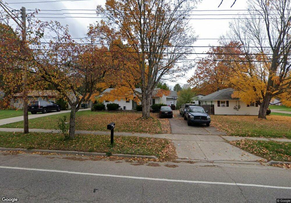
932 W Miller Rd Lansing, MI 48911
Southern Lansing NeighborhoodEstimated Value: $144,000 - $161,000
3
Beds
1
Bath
1,128
Sq Ft
$135/Sq Ft
Est. Value
About This Home
This home is located at 932 W Miller Rd, Lansing, MI 48911 and is currently estimated at $151,824, approximately $134 per square foot. 932 W Miller Rd is a home located in Ingham County with nearby schools including Reo Elementary School, Attwood School, and Everett High School.
Ownership History
Date
Name
Owned For
Owner Type
Purchase Details
Closed on
Mar 31, 2014
Sold by
Conrad Deana
Bought by
Gleason Rodney A
Current Estimated Value
Purchase Details
Closed on
Sep 30, 2009
Sold by
Gleason Rodney A and Conrad Deana
Bought by
Gleason Rodney A and Conrad Deana
Home Financials for this Owner
Home Financials are based on the most recent Mortgage that was taken out on this home.
Original Mortgage
$62,349
Interest Rate
5.19%
Mortgage Type
FHA
Purchase Details
Closed on
Aug 18, 2009
Sold by
Garrison Steve J and Garrison Betty E
Bought by
Gleason Rodney A and Conrad Deana
Home Financials for this Owner
Home Financials are based on the most recent Mortgage that was taken out on this home.
Original Mortgage
$62,349
Interest Rate
5.19%
Mortgage Type
FHA
Purchase Details
Closed on
Jun 27, 2008
Sold by
Garrison Steve J
Bought by
Garrison Steve J and Garrison Betty E
Create a Home Valuation Report for This Property
The Home Valuation Report is an in-depth analysis detailing your home's value as well as a comparison with similar homes in the area
Home Values in the Area
Average Home Value in this Area
Purchase History
| Date | Buyer | Sale Price | Title Company |
|---|---|---|---|
| Gleason Rodney A | -- | None Available | |
| Gleason Rodney A | -- | None Available | |
| Gleason Rodney A | $63,500 | Attorneys Title Agency | |
| Garrison Steve J | -- | None Available |
Source: Public Records
Mortgage History
| Date | Status | Borrower | Loan Amount |
|---|---|---|---|
| Previous Owner | Gleason Rodney A | $62,349 |
Source: Public Records
Tax History Compared to Growth
Tax History
| Year | Tax Paid | Tax Assessment Tax Assessment Total Assessment is a certain percentage of the fair market value that is determined by local assessors to be the total taxable value of land and additions on the property. | Land | Improvement |
|---|---|---|---|---|
| 2025 | $2,308 | $67,800 | $7,000 | $60,800 |
| 2024 | $18 | $57,200 | $7,000 | $50,200 |
| 2023 | $2,165 | $50,200 | $7,000 | $43,200 |
| 2022 | $1,954 | $43,400 | $7,000 | $36,400 |
| 2021 | $1,914 | $40,200 | $5,100 | $35,100 |
| 2020 | $1,902 | $36,600 | $5,100 | $31,500 |
| 2019 | $3,182 | $34,800 | $5,100 | $29,700 |
| 2018 | $1,709 | $30,100 | $5,100 | $25,000 |
| 2017 | $1,636 | $30,100 | $5,100 | $25,000 |
| 2016 | $2,826 | $29,600 | $5,100 | $24,500 |
| 2015 | $2,826 | $28,600 | $10,240 | $18,360 |
| 2014 | $2,826 | $27,300 | $15,359 | $11,941 |
Source: Public Records
Map
Nearby Homes
- 1119 W Miller Rd
- 1020 R G Curtiss Ave
- 6270 S Washington Ave
- 6037 Hughes Rd
- 6421 S Washington Ave
- 5902 Hilliard Rd
- 5750 Ashley Dr
- 1014 W Northrup St
- 6029 Ellendale Dr
- 218 Raritan Rd
- 6444 Sommerset Rd
- 5636 Ellendale Dr
- 5838 S Martin Luther King Junior Blvd
- 5727 Annapolis Dr
- 6429 Rosedale Rd
- 5730 Laporte Dr
- 129 Village Dr
- 6246 Gardenia Ave
- 6030 Piper Ave
- 2626 Little Hickory Dr
- 6064 Southbrook Ave
- 936 W Miller Rd
- 6056 Southbrook Ave
- 942 W Miller Rd
- 6050 Southbrook Ave
- 948 W Ller
- 948 W Miller Rd
- 6063 Southbrook Ave
- 6055 Daft St
- 6044 Southbrook Ave
- 6051 Daft St
- 6063 Daft St
- 927 W Miller Rd
- 908 W Miller Rd
- 945 W Miller Rd
- 945 W Ller
- 6057 Southbrook Ave
- 6038 Southbrook Ave
- 6045 Daft St