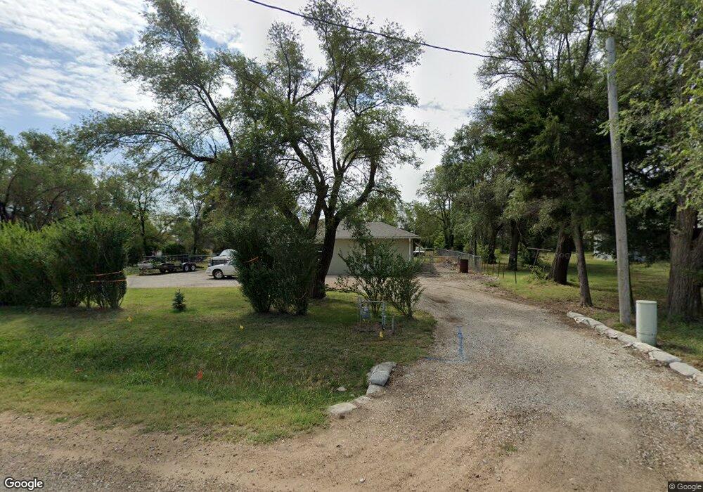
9339 202nd Rd Winfield, KS 67156
Estimated Value: $62,000 - $175,000
3
Beds
1
Bath
1,304
Sq Ft
$97/Sq Ft
Est. Value
About This Home
This home is located at 9339 202nd Rd, Winfield, KS 67156 and is currently estimated at $126,687, approximately $97 per square foot. 9339 202nd Rd is a home located in Cowley County with nearby schools including Winfield High School.
Ownership History
Date
Name
Owned For
Owner Type
Purchase Details
Closed on
Feb 15, 2019
Sold by
Lawson Kyle E and Lawson Ashley D
Bought by
Bryant Justin Keith
Current Estimated Value
Home Financials for this Owner
Home Financials are based on the most recent Mortgage that was taken out on this home.
Original Mortgage
$75,000
Outstanding Balance
$65,804
Interest Rate
4.4%
Mortgage Type
VA
Estimated Equity
$60,883
Purchase Details
Closed on
Aug 13, 2018
Sold by
Johnson Carl L and Johnson Carla J
Bought by
Lawson Kyle E and Lawson Ashley E
Home Financials for this Owner
Home Financials are based on the most recent Mortgage that was taken out on this home.
Original Mortgage
$54,910
Interest Rate
4.5%
Mortgage Type
New Conventional
Create a Home Valuation Report for This Property
The Home Valuation Report is an in-depth analysis detailing your home's value as well as a comparison with similar homes in the area
Home Values in the Area
Average Home Value in this Area
Purchase History
| Date | Buyer | Sale Price | Title Company |
|---|---|---|---|
| Bryant Justin Keith | -- | Weiser Valley Title | |
| Lawson Kyle E | -- | Security 1St Title |
Source: Public Records
Mortgage History
| Date | Status | Borrower | Loan Amount |
|---|---|---|---|
| Open | Bryant Justin Keith | $75,000 | |
| Previous Owner | Lawson Kyle E | $54,910 |
Source: Public Records
Tax History Compared to Growth
Tax History
| Year | Tax Paid | Tax Assessment Tax Assessment Total Assessment is a certain percentage of the fair market value that is determined by local assessors to be the total taxable value of land and additions on the property. | Land | Improvement |
|---|---|---|---|---|
| 2025 | $1,246 | $12,512 | $1,130 | $11,382 |
| 2024 | $1,246 | $11,242 | $1,130 | $10,112 |
| 2023 | $1,275 | $10,402 | $1,264 | $9,138 |
| 2022 | $1,018 | $8,918 | $758 | $8,160 |
| 2021 | $1,018 | $7,520 | $661 | $6,859 |
| 2020 | $1,026 | $7,534 | $596 | $6,938 |
| 2019 | $1,183 | $8,751 | $531 | $8,220 |
| 2018 | $640 | $4,954 | $298 | $4,656 |
| 2017 | $640 | $4,954 | $305 | $4,649 |
| 2016 | $603 | $4,796 | $449 | $4,347 |
| 2015 | -- | $4,796 | $449 | $4,347 |
| 2014 | -- | $4,715 | $419 | $4,296 |
Source: Public Records
Map
Nearby Homes
- 20648 85th Rd
- 212th Rd
- 4329 Quail Ridge Dr
- 4210 Meadowbrook Ln
- 4414 Niblick Dr
- 10 Leed Rd
- 4317 Niblick Dr
- 4221 Niblick Dr
- 4215 Niblick Dr
- 10562 212th Rd
- 4011 Quail Ridge Dr
- 607 Quail Nest Rd
- 714 Quail Nest Rd
- 616 Quail Nest Rd
- 624 Quail Nest Rd
- 19584 71st Rd
- 3408 Lakeshore Dr
- 3402 Meadowlark Ln
- 121 W 33rd Ave
- 1407 W 33rd Ave
- 9339 202nd Rd
- 21023 Curtis Ave
- 21024 Hoover Ave
- 21082 Hoover Ave
- 9338 202nd Rd
- 21063 Hoover Ave
- 21078 Curtis Ave
- 21138 Hoover Ave
- 21097 Hoover Ave
- 21097 Hoover Ave
- 21105 Curtis Ave
- 21125 Hoover Ave
- 21196 Hoover Ave
- 21153 Hoover Ave
- 21117 85th Rd
- 9252 202nd Rd
- 21158 Curtis Ave
- 21187 85th Rd
- 20848 85th Rd
- 21215 Curtis Ave