9347 Brooks Cluster Cir Upperville, VA 20184
Estimated Value: $417,000 - $756,000
3
Beds
2
Baths
1,353
Sq Ft
$411/Sq Ft
Est. Value
About This Home
This home is located at 9347 Brooks Cluster Cir, Upperville, VA 20184 and is currently estimated at $555,470, approximately $410 per square foot. 9347 Brooks Cluster Cir is a home located in Fauquier County with nearby schools including Claude Thompson Elementary School, Marshall Middle School, and Fauquier High School.
Ownership History
Date
Name
Owned For
Owner Type
Purchase Details
Closed on
Aug 13, 2003
Sold by
Anderson Nancy
Bought by
Barrett Michael
Current Estimated Value
Purchase Details
Closed on
Sep 30, 1999
Sold by
Witt David B
Bought by
Anderson Nancy B
Home Financials for this Owner
Home Financials are based on the most recent Mortgage that was taken out on this home.
Original Mortgage
$117,000
Interest Rate
7.85%
Create a Home Valuation Report for This Property
The Home Valuation Report is an in-depth analysis detailing your home's value as well as a comparison with similar homes in the area
Home Values in the Area
Average Home Value in this Area
Purchase History
| Date | Buyer | Sale Price | Title Company |
|---|---|---|---|
| Barrett Michael | $230,000 | -- | |
| Anderson Nancy B | $117,000 | -- |
Source: Public Records
Mortgage History
| Date | Status | Borrower | Loan Amount |
|---|---|---|---|
| Previous Owner | Anderson Nancy B | $117,000 |
Source: Public Records
Tax History Compared to Growth
Tax History
| Year | Tax Paid | Tax Assessment Tax Assessment Total Assessment is a certain percentage of the fair market value that is determined by local assessors to be the total taxable value of land and additions on the property. | Land | Improvement |
|---|---|---|---|---|
| 2025 | $3,952 | $408,700 | $180,000 | $228,700 |
| 2024 | $3,868 | $408,700 | $180,000 | $228,700 |
| 2023 | $3,704 | $408,700 | $180,000 | $228,700 |
| 2022 | $3,704 | $408,700 | $180,000 | $228,700 |
| 2021 | $2,533 | $253,500 | $100,000 | $153,500 |
| 2020 | $2,533 | $253,500 | $100,000 | $153,500 |
| 2019 | $2,533 | $253,500 | $100,000 | $153,500 |
| 2018 | $2,503 | $253,500 | $100,000 | $153,500 |
| 2016 | $2,318 | $221,800 | $100,000 | $121,800 |
| 2015 | -- | $221,800 | $100,000 | $121,800 |
| 2014 | -- | $221,800 | $100,000 | $121,800 |
Source: Public Records
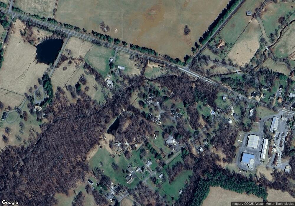
Map
Nearby Homes
- 1170 Parker St
- 10157 John s Mosby Hwy
- 1787 Light Horse Ln
- 21515 Trappe Rd
- 21281 Belle Grey Ln
- 21826 Blue Ridge Mountain Rd
- 0 Blue Ridge Mountain Rd Unit VALO2105128
- 0 Blue Ridge Mountain Rd
- 34679 Atoka Chase Ln
- 2919 Rokeby Rd
- 23117 Pantherskin Ln
- Mount Carmel Road Lot Unit WP001
- 9425 Blackpond Ln
- 2532 Atoka Rd
- 0 Mount Carmel Rd
- 9565 Briar Ln
- 9425 Blackpond Rd
- 20596 Airmont Rd
- 0 Leeds Manor Rd Unit VAFQ2017966
- 35162 Notre Dame Ln
- 9346 Brooks Cluster Cir
- 9341 Brooks Cluster Cir
- 9337 Brooks Cluster Cir
- 9334 Brooks Cluster Cir
- 9277 John s Mosby Hwy
- 9330 Brooks Cluster Cir
- 9266 Patrick St
- 9240 Patrick St
- 9258 Patrick St
- 9262 Patrick St
- 9233 Patrick St
- 9216 Patrick St
- 9257 Patrick St
- 9229 Patrick St
- 9268 Patrick St
- 9223 Patrick St
- 9202 Patrick St
- 9211 Patrick St
- 9280 Patrick St
- 1071 Trappe Rd