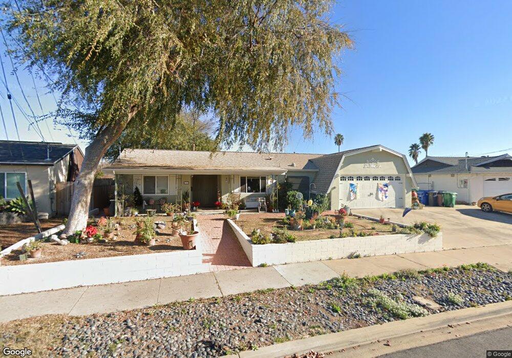
9349 Burning Tree Way Santee, CA 92071
East Elliott NeighborhoodEstimated Value: $845,862 - $1,022,000
3
Beds
2
Baths
1,308
Sq Ft
$687/Sq Ft
Est. Value
About This Home
This home is located at 9349 Burning Tree Way, Santee, CA 92071 and is currently estimated at $897,966, approximately $686 per square foot. 9349 Burning Tree Way is a home located in San Diego County with nearby schools including Carlton Oaks Elementary School and West Hills High School.
Ownership History
Date
Name
Owned For
Owner Type
Purchase Details
Closed on
Jan 17, 2015
Sold by
Raynes Margo A
Bought by
Mccune Elizabeth Anna
Current Estimated Value
Home Financials for this Owner
Home Financials are based on the most recent Mortgage that was taken out on this home.
Original Mortgage
$336,000
Interest Rate
3.75%
Mortgage Type
New Conventional
Purchase Details
Closed on
Jan 17, 2005
Sold by
Raynes Margo Anne
Bought by
Raynes Margo A
Purchase Details
Closed on
Mar 30, 1988
Purchase Details
Closed on
Nov 26, 1986
Create a Home Valuation Report for This Property
The Home Valuation Report is an in-depth analysis detailing your home's value as well as a comparison with similar homes in the area
Home Values in the Area
Average Home Value in this Area
Purchase History
| Date | Buyer | Sale Price | Title Company |
|---|---|---|---|
| Mccune Elizabeth Anna | $420,000 | Corinthian Title Company | |
| Raynes Margo A | -- | -- | |
| -- | $110,000 | -- | |
| -- | $97,000 | -- |
Source: Public Records
Mortgage History
| Date | Status | Borrower | Loan Amount |
|---|---|---|---|
| Open | Mccune Elizabeth Anna | $41,580 | |
| Previous Owner | Mccune Elizabeth Anna | $336,000 |
Source: Public Records
Tax History Compared to Growth
Tax History
| Year | Tax Paid | Tax Assessment Tax Assessment Total Assessment is a certain percentage of the fair market value that is determined by local assessors to be the total taxable value of land and additions on the property. | Land | Improvement |
|---|---|---|---|---|
| 2025 | $5,928 | $504,767 | $204,310 | $300,457 |
| 2024 | $5,928 | $494,870 | $200,304 | $294,566 |
| 2023 | $5,745 | $485,168 | $196,377 | $288,791 |
| 2022 | $5,702 | $475,656 | $192,527 | $283,129 |
| 2021 | $5,623 | $466,330 | $188,752 | $277,578 |
| 2020 | $7,523 | $461,549 | $186,817 | $274,732 |
| 2019 | $7,327 | $452,500 | $183,154 | $269,346 |
| 2018 | $7,211 | $443,628 | $179,563 | $264,065 |
| 2017 | $160 | $434,931 | $176,043 | $258,888 |
| 2016 | $5,018 | $426,404 | $172,592 | $253,812 |
| 2015 | $2,096 | $175,159 | $58,898 | $116,261 |
| 2014 | $2,053 | $171,729 | $57,745 | $113,984 |
Source: Public Records
Map
Nearby Homes
- 9009 Calle Del Verde
- 8609 Dunwoodie Rd
- 9205 Camino Del Verde
- 9022 Rupp Ct
- 9233 Maranda Dr
- 9256 Allano Way
- 9276 Ruffin Rd
- 9336 Carlton Hills Blvd
- 9209 Les Rd
- 9058 Inverness Rd
- 8621 Arminda Cir Unit 30
- 9717 Carita Ct
- 8530 Cherub Ct
- 8672 Camden Dr
- 8688 Amherst St
- 8670 Amherst St
- 8676 Amherst St
- 8685 Amherst St
- 8639 Amherst St
- Plan 2014 Modeled at Prospect Park
- 9357 Burning Tree Way
- 9343 Burning Tree Way
- 9330 Knollwood Way
- 9322 Knollwood Way
- 9338 Knollwood Way
- 9363 Burning Tree Way
- 9314 Knollwood Way
- 9337 Burning Tree Way
- 9350 Burning Tree Way
- 9342 Burning Tree Way
- 9346 Knollwood Way
- 9358 Burning Tree Way
- 9367 Burning Tree Way
- 9336 Burning Tree Way
- 9321 Burning Tree Way
- 8802 Carlton Oaks Dr
- 9354 Knollwood Way
- 9366 Burning Tree Way
- 9323 Knollwood Way
- 9373 Saint Andrews Dr