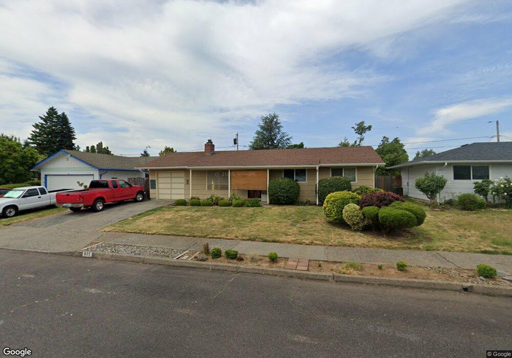
935 SE 226th Ave Gresham, OR 97030
North Central NeighborhoodEstimated Value: $354,000 - $402,000
3
Beds
1
Bath
912
Sq Ft
$414/Sq Ft
Est. Value
About This Home
This home is located at 935 SE 226th Ave, Gresham, OR 97030 and is currently estimated at $377,491, approximately $413 per square foot. 935 SE 226th Ave is a home located in Multnomah County with nearby schools including Highland Elementary School, Clear Creek Middle School, and Gresham High School.
Ownership History
Date
Name
Owned For
Owner Type
Purchase Details
Closed on
Jun 5, 2021
Sold by
Thomsen Michael Robert
Bought by
Thomsen Michael Robert and Maslin Mary Ann
Current Estimated Value
Purchase Details
Closed on
Sep 12, 2003
Sold by
Sullivan Jody Lynn
Bought by
Thomsen Michael Robert
Home Financials for this Owner
Home Financials are based on the most recent Mortgage that was taken out on this home.
Original Mortgage
$82,000
Interest Rate
6.22%
Mortgage Type
Purchase Money Mortgage
Create a Home Valuation Report for This Property
The Home Valuation Report is an in-depth analysis detailing your home's value as well as a comparison with similar homes in the area
Home Values in the Area
Average Home Value in this Area
Purchase History
| Date | Buyer | Sale Price | Title Company |
|---|---|---|---|
| Thomsen Michael Robert | -- | None Listed On Document | |
| Thomsen Michael Robert | -- | First American |
Source: Public Records
Mortgage History
| Date | Status | Borrower | Loan Amount |
|---|---|---|---|
| Previous Owner | Thomsen Michael Robert | $82,000 |
Source: Public Records
Tax History
| Year | Tax Paid | Tax Assessment Tax Assessment Total Assessment is a certain percentage of the fair market value that is determined by local assessors to be the total taxable value of land and additions on the property. | Land | Improvement |
|---|---|---|---|---|
| 2025 | $3,594 | $176,630 | -- | -- |
| 2024 | $3,441 | $171,490 | -- | -- |
| 2023 | $3,441 | $166,500 | -- | -- |
| 2022 | $3,047 | $161,660 | $0 | $0 |
| 2021 | $2,971 | $156,960 | $0 | $0 |
| 2020 | $2,795 | $152,390 | $0 | $0 |
| 2019 | $2,806 | $147,960 | $0 | $0 |
| 2018 | $2,596 | $143,660 | $0 | $0 |
| 2017 | $2,490 | $139,480 | $0 | $0 |
| 2016 | $2,196 | $135,420 | $0 | $0 |
| 2015 | $2,148 | $131,480 | $0 | $0 |
| 2014 | $2,096 | $127,660 | $0 | $0 |
Source: Public Records
Map
Nearby Homes
- 1035 SE 225th Ave
- 85 NE 23rd St
- 450 NE 22nd St
- 2775 NE Linden Ave
- 349 NE 18th St
- 1783 1791 NE Beech Place
- 2578 NE Morlan Ave
- 2105 NE Cleveland Ave
- 920 SE 214th Ave
- 830 SE 214th Ave
- 21525 SE Oak St
- 1026 SE 213th Ave
- 2200 NE Liberty Ave
- 54 NW 13th St
- 21400 SE Stark St Unit 2
- 132 SE 214th Ave
- 1556 NE 27th Terrace
- 209 SE 214th Ave
- 21001 SE Yamhill St
- 21016 SE Stark St Unit 69
- 943 SE 226th Ave
- 923 SE 226th Ave
- 928 SE 225th Ave
- 940 SE 225th Ave
- 916 SE 225th Ave
- 1005 SE 226th Ave
- 897 SE 226th Ave
- 934 SE 226th Ave
- 1010 SE 225th Ave
- 22522 SE Morrison Ct
- 942 SE 226th Ave
- 920 SE 226th Ave
- 906 SE 225th Ave
- 1000 SE 226th Ave
- 1019 SE 226th Ave
- 1022 SE 225th Ave
- 900 SE 226th Ave
- 1018 SE 226th Ave
- 2603 NE Roberts Place
- 927 SE 225th Ave
Your Personal Tour Guide
Ask me questions while you tour the home.