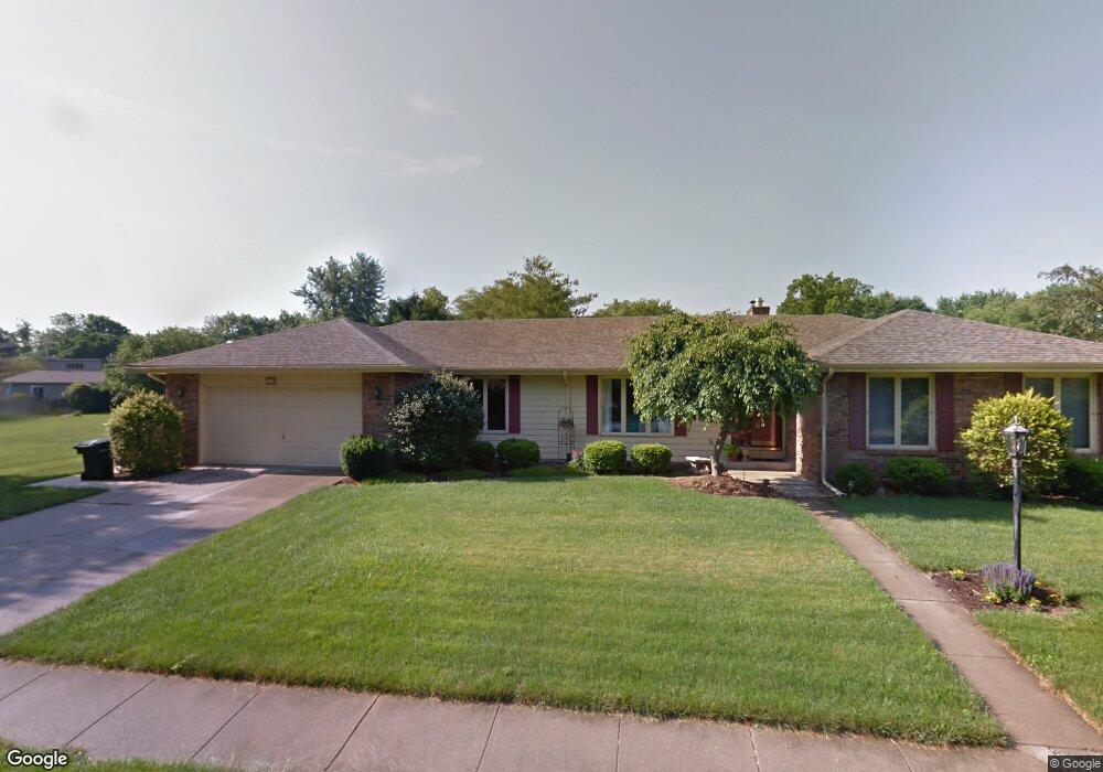
935 Tanbark St Columbus, IN 47203
Estimated Value: $398,000 - $452,000
3
Beds
4
Baths
5,256
Sq Ft
$80/Sq Ft
Est. Value
About This Home
This home is located at 935 Tanbark St, Columbus, IN 47203 and is currently estimated at $421,114, approximately $80 per square foot. 935 Tanbark St is a home located in Bartholomew County with nearby schools including Parkside Elementary School, Northside Middle School, and Columbus North High School.
Ownership History
Date
Name
Owned For
Owner Type
Purchase Details
Closed on
Apr 30, 2024
Sold by
Estate Of Marilyn Vinson Deceased
Bought by
Sweany Nahtan D
Current Estimated Value
Purchase Details
Closed on
Jul 11, 2022
Sold by
Fear Sheila L
Bought by
Vinson Marilyn
Purchase Details
Closed on
Nov 21, 2000
Sold by
Maurer Edna L
Bought by
Appel Edna L and Dell Kathryn L
Purchase Details
Closed on
Jul 6, 2000
Sold by
Maurer Herman J and Maurer Edna L
Bought by
Maurer Edna L
Create a Home Valuation Report for This Property
The Home Valuation Report is an in-depth analysis detailing your home's value as well as a comparison with similar homes in the area
Home Values in the Area
Average Home Value in this Area
Purchase History
| Date | Buyer | Sale Price | Title Company |
|---|---|---|---|
| Sweany Nahtan D | $410,000 | Royal Title Service | |
| Vinson Marilyn | $352,500 | Meridian Title Corporation | |
| Appel Edna L | -- | -- | |
| Maurer Edna L | -- | -- |
Source: Public Records
Tax History Compared to Growth
Tax History
| Year | Tax Paid | Tax Assessment Tax Assessment Total Assessment is a certain percentage of the fair market value that is determined by local assessors to be the total taxable value of land and additions on the property. | Land | Improvement |
|---|---|---|---|---|
| 2024 | $4,048 | $356,800 | $62,000 | $294,800 |
| 2023 | $5,579 | $299,800 | $62,000 | $237,800 |
| 2022 | $3,524 | $287,000 | $62,000 | $225,000 |
| 2021 | $3,314 | $266,800 | $43,600 | $223,200 |
| 2020 | $3,432 | $270,500 | $43,600 | $226,900 |
| 2019 | $3,126 | $261,400 | $43,600 | $217,800 |
| 2018 | $3,455 | $246,300 | $43,600 | $202,700 |
| 2017 | $2,956 | $240,600 | $46,200 | $194,400 |
| 2016 | $2,900 | $234,200 | $46,200 | $188,000 |
| 2014 | $2,934 | $232,100 | $46,200 | $185,900 |
Source: Public Records
Map
Nearby Homes
- 1031 Parkside Dr
- 730 Rocky Ford Rd
- 3635 River Rd
- 4230 River Rd
- 880 Towhee Dr
- 4335 River Rd
- 1981 Stella Rock Ct
- 1977 Stella Rock Ct
- 2975 Washington St
- 1966 Broadmoor Ln
- 3277 Muriel Place
- 2712 Lafayette Ave
- 811 27th St
- 2230 Sims Dr
- 2565 Chestnut St
- 2613 Maple St
- 650 North St
- 2505 Riverside Dr
- 2309 Pearl St
- 2250 Sycamore St
- 935 Tanbark Ave
- 925 Tanbark Ave
- 940 Rocky Ford Rd
- 930 Rocky Ford Rd
- 950 Rocky Ford Rd
- 942 Tanbark Ave
- 1005 Tanbark Ave
- 3523 Oriole Dr
- 920 Rocky Ford Rd
- 920 Rockyford Rd
- 952 Tanbark Ave
- 915 Tanbark Ave
- 1010 Rocky Ford Rd
- 1015 Tanbark St
- 3520 Oriole Dr
- 1015 Tanbark Ave
- 1012 Tanbark Ave
- 1012 Tanbark Ave
- 910 Rocky Ford Rd
- 931 Parkside Dr